MyTopo
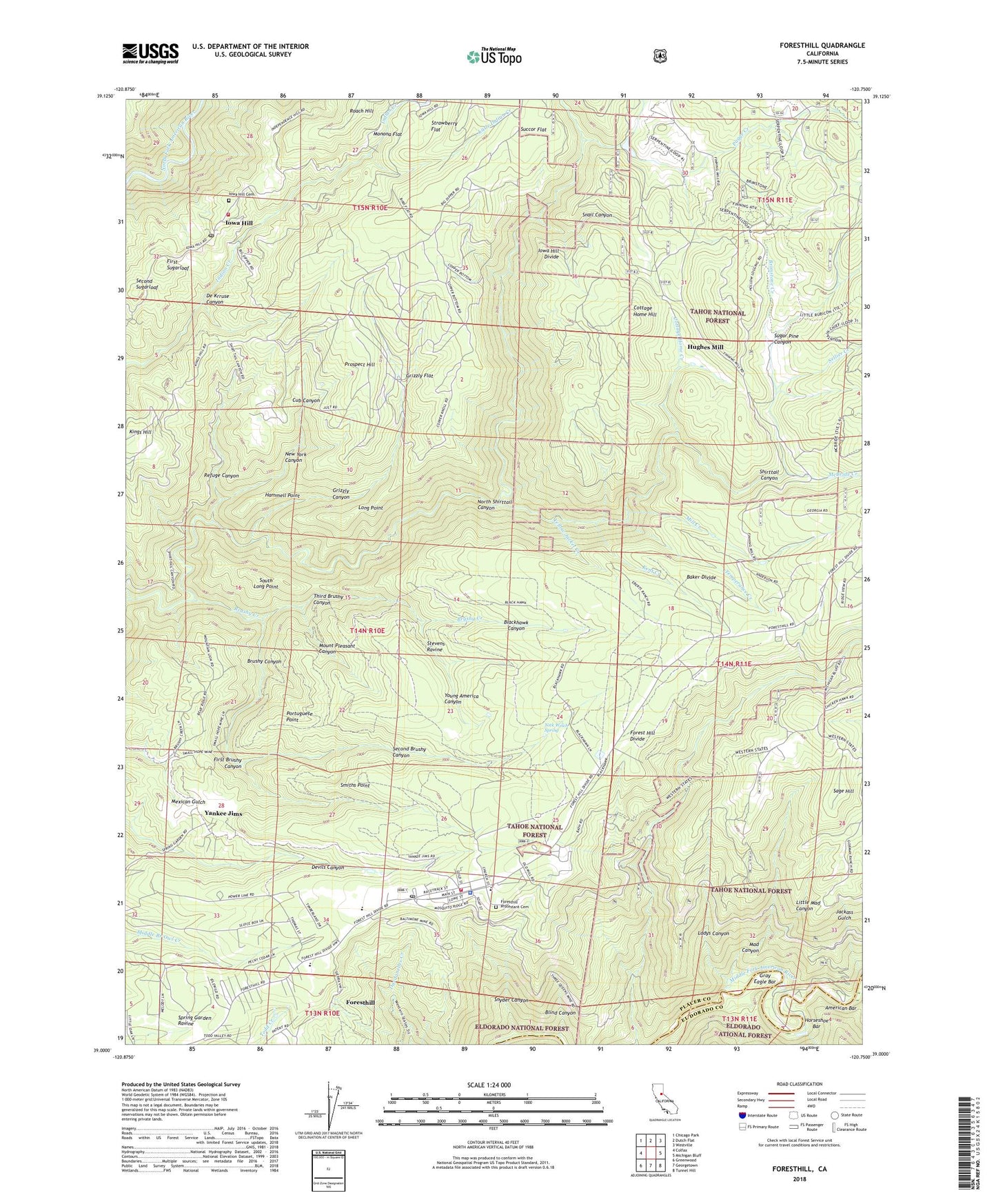
Foresthill California US Topo Map
Couldn't load pickup availability
Also explore the Foresthill Forest Service Topo of this same quad for updated USFS data
2022 topographic map quadrangle Foresthill in the state of California. Scale: 1:24000. Based on the newly updated USGS 7.5' US Topo map series, this map is in the following counties: Placer, El Dorado. The map contains contour data, water features, and other items you are used to seeing on USGS maps, but also has updated roads and other features. This is the next generation of topographic maps. Printed on high-quality waterproof paper with UV fade-resistant inks.
Quads adjacent to this one:
West: Colfax
Northwest: Chicago Park
North: Dutch Flat
Northeast: Westville
East: Michigan Bluff
Southeast: Tunnel Hill
South: Georgetown
Southwest: Greenwood
This map covers the same area as the classic USGS quad with code o39120a7.
Contains the following named places: Adams Pit, American Bar, Baker Divide, Baker Ranch, Baltimore, Baltimore Mine, Bath, Big Dipper Mine, Blackhawk Canyon, Blind Canyon, Brimstone Creek, Brushy Canyon, Brushy Creek, Buckeye Mine, California, California Morning Star Mine, Campbell Mine, Cottage Home Creek, Cottage Home Hill, Cub Canyon, De Krruse Canyon, Drummond Mine, Ebberts Ranch, First Brushy Canyon, First Sugarloaf, Foresthill, Foresthill Census Designated Place, Foresthill Elementary School and Middle School, Foresthill Fire Protection District Station 88, Foresthill Post Office, Foresthill Protestant Cemetery, Foresthill Ranger Station, Foresthill Work Center, Four Acres, Gleeson Diggings, Golden Streak Mine, Gray Eagle Bar, Grizzly Canyon, Grizzly Flat, Hammell Point, Hazard Mine, Hoffman Pits, Homestake Mine, Horseshoe Bar, Hughes Mill, Iowa Hill, Iowa Hill Contract Postal Unit Post Office, Iowa Hill Fire Department, Iowa Hill Mine, Iowa Hill School, Jackass Gulch, Kent Creek, Keystone Mine, Kings Hill, Ladys Canyon, Lebanon Mine, Leroy E Botts Memorial Park, Little Indian Creek, Little Mad Canyon, Long Point, Mad Canyon, Marall Chrome Mine, Mayflower, Mayflower Mine, McBride Creek, Mill Creek, Monona Flat, Mount Pleasant Canyon, Mountain Chief Creek, New York Canyon, Nick Welch Spring, North Shirttail Canyon, Occidental Mine, Old Iowa Hill Cemetery, Old Sugar Pine Guard Station, Pagge Creek, Paragon Mine, Placer County Fire Department Station 90 / Forest Hill Fire Department Station 3, Placer County Sheriff's Office Foresthill Substation, Portuguese Point, Prospect Hill, Randall Mine, Refuge Canyon, Sage Hill, Saint Joseph Catholic Cemetery, San Francisco Mine, Second Brushy Canyon, Second Sugarloaf, Sellier Creek, Small Hope Mine, Smiths Point, Snail Canyon, Snyder Canyon, South Long Point, Stevens Ravine, Strawberry Flat, Succor Flat, Sugar Pine Canyon, Sugarpine Mill, Temperance Creek, Third Brushy Canyon, Three Queens Mine, Twenty One Placer Mine, Veterans Memorial Building, Volcano Mine, Yankee Jims, Yellow Jacket Creek, Young America Canyon, ZIP Code: 95631


