MyTopo
Glen Ellen California US Topo Map
Couldn't load pickup availability
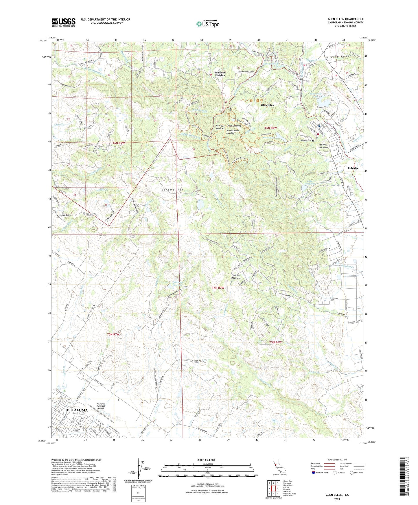
2021 topographic map quadrangle Glen Ellen in the state of California. Scale: 1:24000. Based on the newly updated USGS 7.5' US Topo map series, this map is in the following counties: Sonoma. The map contains contour data, water features, and other items you are used to seeing on USGS maps, but also has updated roads and other features. This is the next generation of topographic maps. Printed on high-quality waterproof paper with UV fade-resistant inks.
Quads adjacent to this one:
West: Cotati
Northwest: Santa Rosa
North: Kenwood
Northeast: Rutherford
East: Sonoma
Southeast: Sears Point
South: Petaluma River
Southwest: Petaluma
This map covers the same area as the classic USGS quad with code o38122c5.
Contains the following named places: Adobe Fort, Adobe Pumpkin Farm, Agua Caliente, Archbishop Hanna High School, Asbury Creek, B R Cohn Winery, Benzinger Winery, Betty Hageman Memorial Library, Bliss School, Bouverie Wildflower Preserve, Calabazas Creek, Chandelle Winery, Community Evangelical Free Church, Coppers Grove, Cowan Meadow Trail, Department of Forestry and Fire Protection Glen Ellen Station, Diamond A Ranch Estates, Eldridge, Eldridge Cemetery, Eldridge Census Designated Place, Eldridge Fire Department, Fallen Bridge Trail, Fern Lake, Fern Lake 1-013 Dam, Glen Ellen, Glen Ellen Census Designated Place, Glen Ellen Fire Protection District Station 1 Headquarters, Glen Ellen Fire Protection District Station 2, Glen Ellen Post Office, Graham Creek, Hanna Center, Hayfields Trail, Hooker Creek, House of Happy Walls, Jack London Ranch, Jack London State Historic Park, Kohler and Frohling Winery, KRCB-TV (Cotati), Lake Idell, Lake Josephine, Lake Trail, Lawler 1014 Dam, Lewis Creek, Londons Cottage, Lowrey Number 1 1424 Dam, Madrone, Mays Clearing, Middle Graham Creek, Mill Creek, Mountain School, Mountain Trail, North Asbury Creek, North Graham Creek, Old Adobe Elementary Charter School, Payran School, Petaluma, Petaluma Adobe State Historic Park, Petaluma Municipal Airport, Petaluma Reservoir, Pine Tree Meadows, Prince Park, Quarry Trail, Sonoma Developmental Center, Sonoma Golf and Country Club, Sonoma Mountain, Sonoma Mountains, Sonoma State Home, Sonoma Valley Regional Park, Sonoma Vista, South Asbury Creek, South Graham Creek, State Hospital Orchard Trail, Stony Butte, Stuart Canyon, Stuart Creek, Suttenfield 1-018 Dam, Suttonfield Lake, Valley of the Moon Winery, Waldrue Heights, Wellington Vineyards, Wilson Creek, Wolf House, Woodcutters Meadow, Yulupa, ZIP Code: 95431


