MyTopo
Hornitos California US Topo Map
Couldn't load pickup availability
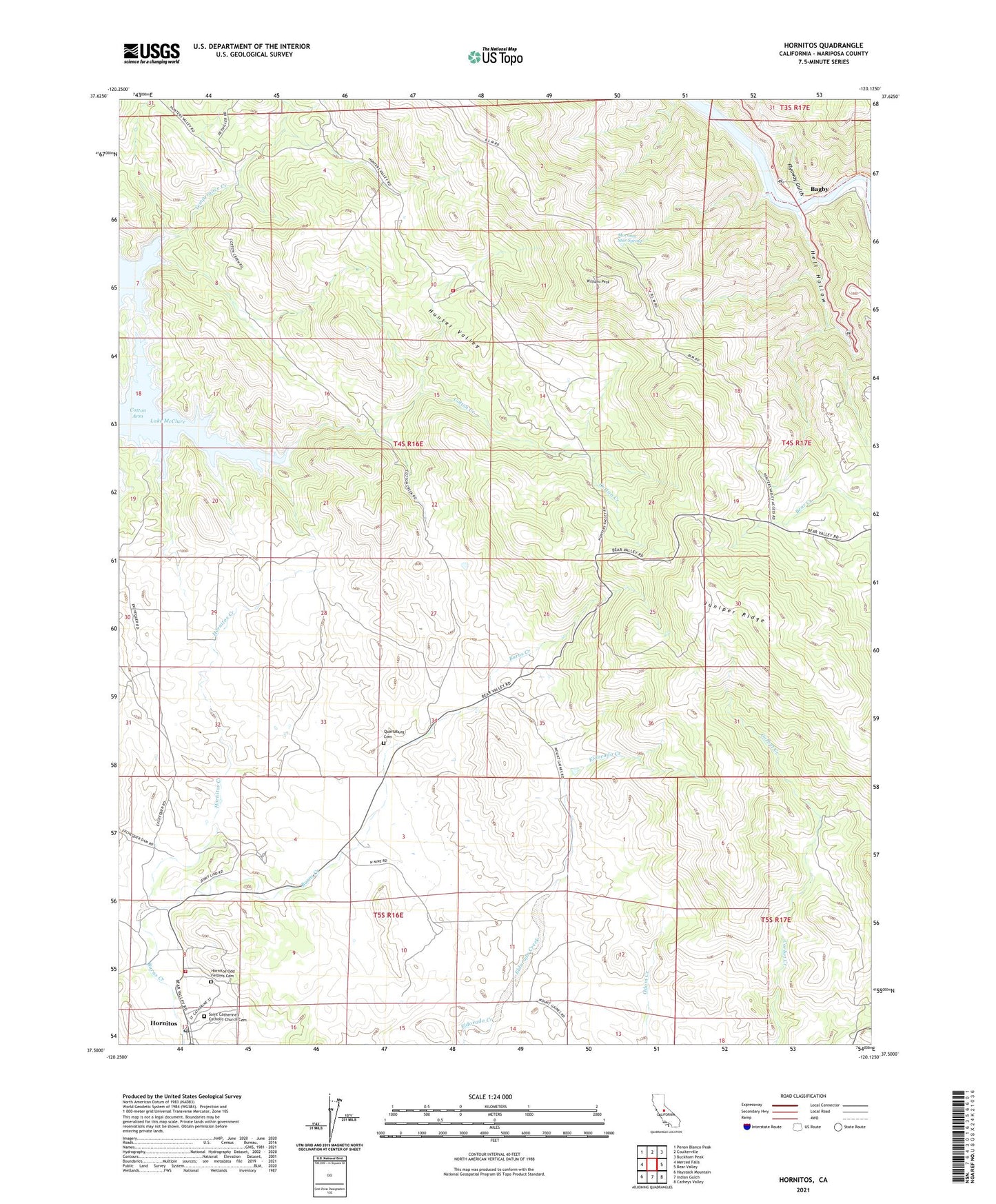
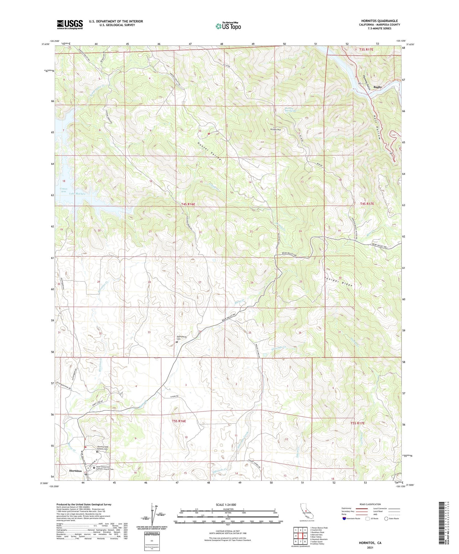
2021 topographic map quadrangle Hornitos in the state of California. Scale: 1:24000. Based on the newly updated USGS 7.5' US Topo map series, this map is in the following counties: Mariposa. The map contains contour data, water features, and other items you are used to seeing on USGS maps, but also has updated roads and other features. This is the next generation of topographic maps. Printed on high-quality waterproof paper with UV fade-resistant inks.
Quads adjacent to this one:
West: Merced Falls
Northwest: Penon Blanco Peak
North: Coulterville
Northeast: Buckhorn Peak
East: Bear Valley
Southeast: Catheys Valley
South: Indian Gulch
Southwest: Haystack Mountain
This map covers the same area as the classic USGS quad with code o37120e2.
Contains the following named places: Bagby, Bagby Recreation Area, Benton Mills, Brill and Herley Prospect, Cotton Arm, Cotton Creek, Cotton Creek Mine, Department of Forestry and Fire Protection Hornitos Fire Station, Flyaway Gulch, Hell Hollow, Hornitos, Hornitos Census Designated Place, Hornitos Creek, Hornitos Odd Fellows Cemetery, Hornitos Park, Hornitos Post Office, Iron Duke Mine, Juniper Mine, Juniper Ridge, Mariposa County Fire Department Company 36 Hunters Valley, Morning Star Mine, Morning Star Spring, Mount Gaines Mine, Number Nine Mine, Oaks and Reese Mine, Orange Blossom Mine, Pyramid Mine, Quartzburg Cemetery, Quartzburg School, Queen Specimen Mine, Red Cloud Mines, Saint Catherine's Catholic Church Cemetery, Schoolhouse Mine, Silver-Lead Mine, Temperance Creek, Williams Peak, Williams Ranch, Yellowstone Mine


