
MyTopo
La Panza NE California US Topo Map
Couldn't load pickup availability
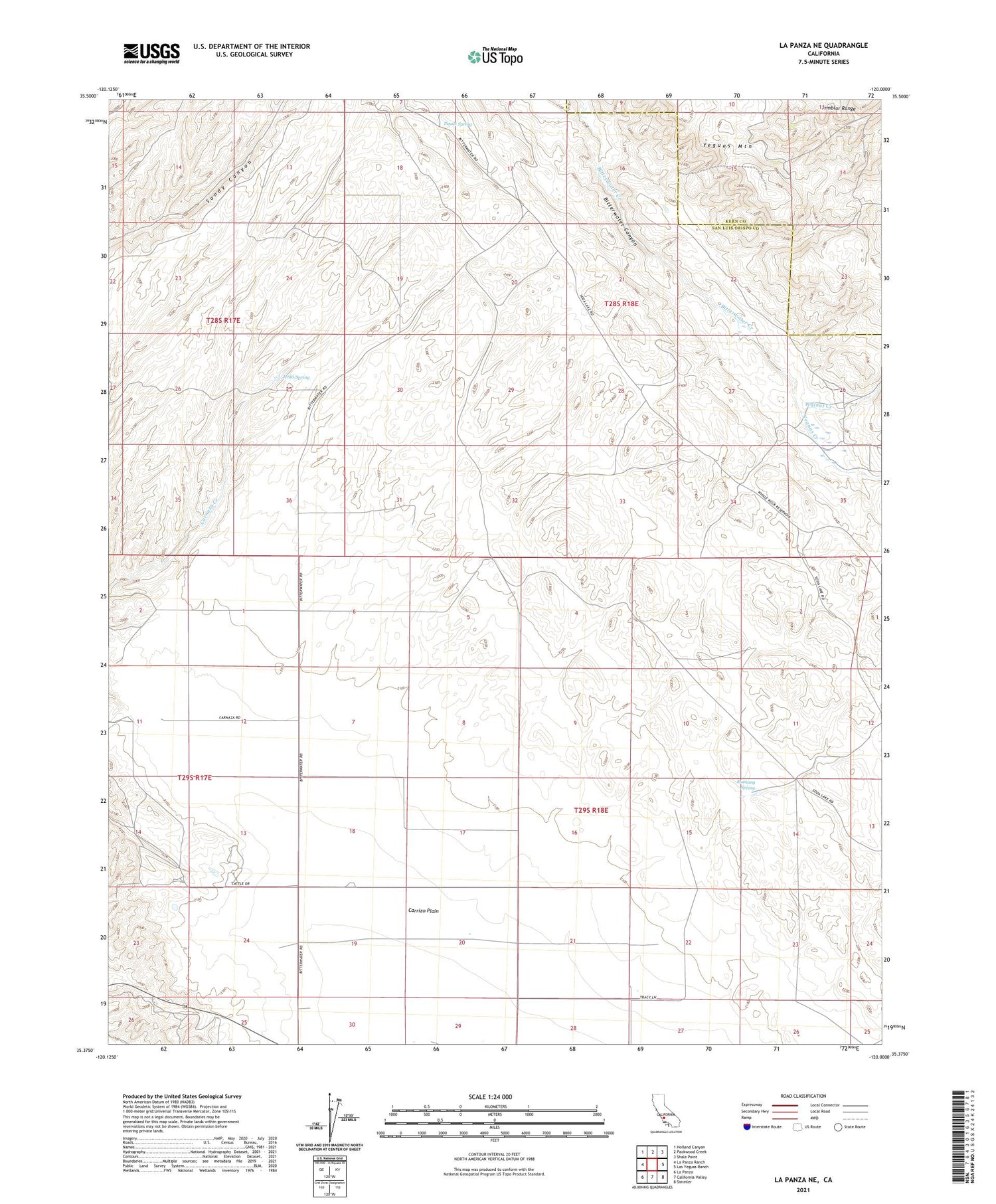
2021 topographic map quadrangle La Panza NE in the state of California. Scale: 1:24000. Based on the newly updated USGS 7.5' US Topo map series, this map is in the following counties: San Luis Obispo, Kern. The map contains contour data, water features, and other items you are used to seeing on USGS maps, but also has updated roads and other features. This is the next generation of topographic maps. Printed on high-quality waterproof paper with UV fade-resistant inks.
Quads adjacent to this one:
West: La Panza Ranch
Northwest: Holland Canyon
North: Packwood Creek
Northeast: Shale Point
East: Las Yeguas Ranch
Southeast: Simmler
South: California Valley
Southwest: La Panza
This map covers the same area as the classic USGS quad with code o35120d1.
Contains the following named places: Carrizo Plain Substation, Jenks Spring, Mustang Spring, Pinole Ranch, Pinole Spring, Sand Creek, Walnut Creek, Yeguas Creek, Yeguas Mountain


