MyTopo
La Panza California US Topo Map
Couldn't load pickup availability
Also explore the La Panza Forest Service Topo of this same quad for updated USFS data
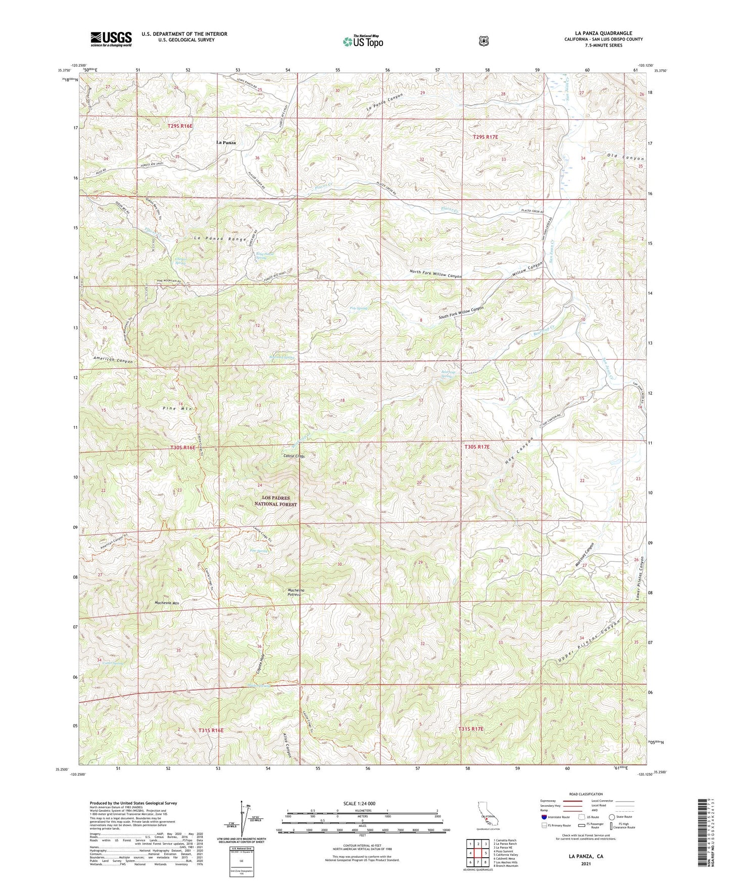
2021 topographic map quadrangle La Panza in the state of California. Scale: 1:24000. Based on the newly updated USGS 7.5' US Topo map series, this map is in the following counties: San Luis Obispo. The map contains contour data, water features, and other items you are used to seeing on USGS maps, but also has updated roads and other features. This is the next generation of topographic maps. Printed on high-quality waterproof paper with UV fade-resistant inks.
Quads adjacent to this one:
West: Pozo Summit
Northwest: Camatta Ranch
North: La Panza Ranch
Northeast: La Panza NE
East: California Valley
Southeast: Branch Mountain
South: Los Machos Hills
Southwest: Caldwell Mesa
This map covers the same area as the classic USGS quad with code o35120c2.
Contains the following named places: Beartrap Creek, Beartrap Spring, Bowman Spring, Castle Crags, Chester Spring, Cotter Spring, Coyote Hole, Hay Canyon, King David Spring, La Panza, La Panza Canyon, La Panza Range, Machesna Mountain, Machesna Mountain Wilderness, Machesna Potrero, Machos Spring, Martinez Canyon, Martinez Place, North Fork Willow Canyon, Old Canyon, Pine Mountain, Pine Spring, Placer Creek, Pole Spring, Queen Bee Campground, Saylors Cabin, South Fork Willow Canyon, Todd Place, Upper Piletas Canyon, Willow Canyon