MyTopo
California Valley California US Topo Map
Couldn't load pickup availability
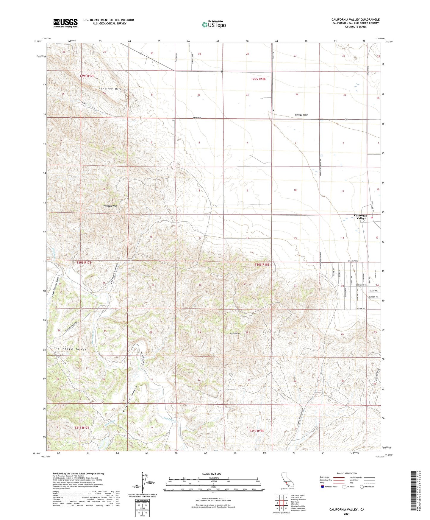
2021 topographic map quadrangle California Valley in the state of California. Scale: 1:24000. Based on the newly updated USGS 7.5' US Topo map series, this map is in the following counties: San Luis Obispo. The map contains contour data, water features, and other items you are used to seeing on USGS maps, but also has updated roads and other features. This is the next generation of topographic maps. Printed on high-quality waterproof paper with UV fade-resistant inks.
Quads adjacent to this one:
West: La Panza
Northwest: La Panza Ranch
North: La Panza NE
Northeast: Las Yeguas Ranch
East: Simmler
Southeast: Chimineas Ranch
South: Branch Mountain
Southwest: Los Machos Hills
This map covers the same area as the classic USGS quad with code o35120c1.
Contains the following named places: Anderson Canyon, Atascadero Division, Buckhorn Canyon, California Department of Forestry and Fire Protection Station 42 Carrizo Plain, California Valley, California Valley Airport, Carrisa Plains Elementary School, Freeborn Mountain, Hubbard Hill, Lower Piletas Canyon, Rafael Creek, Rogers Creek, Syncline Hill