MyTopo
Lancaster East California US Topo Map
Couldn't load pickup availability
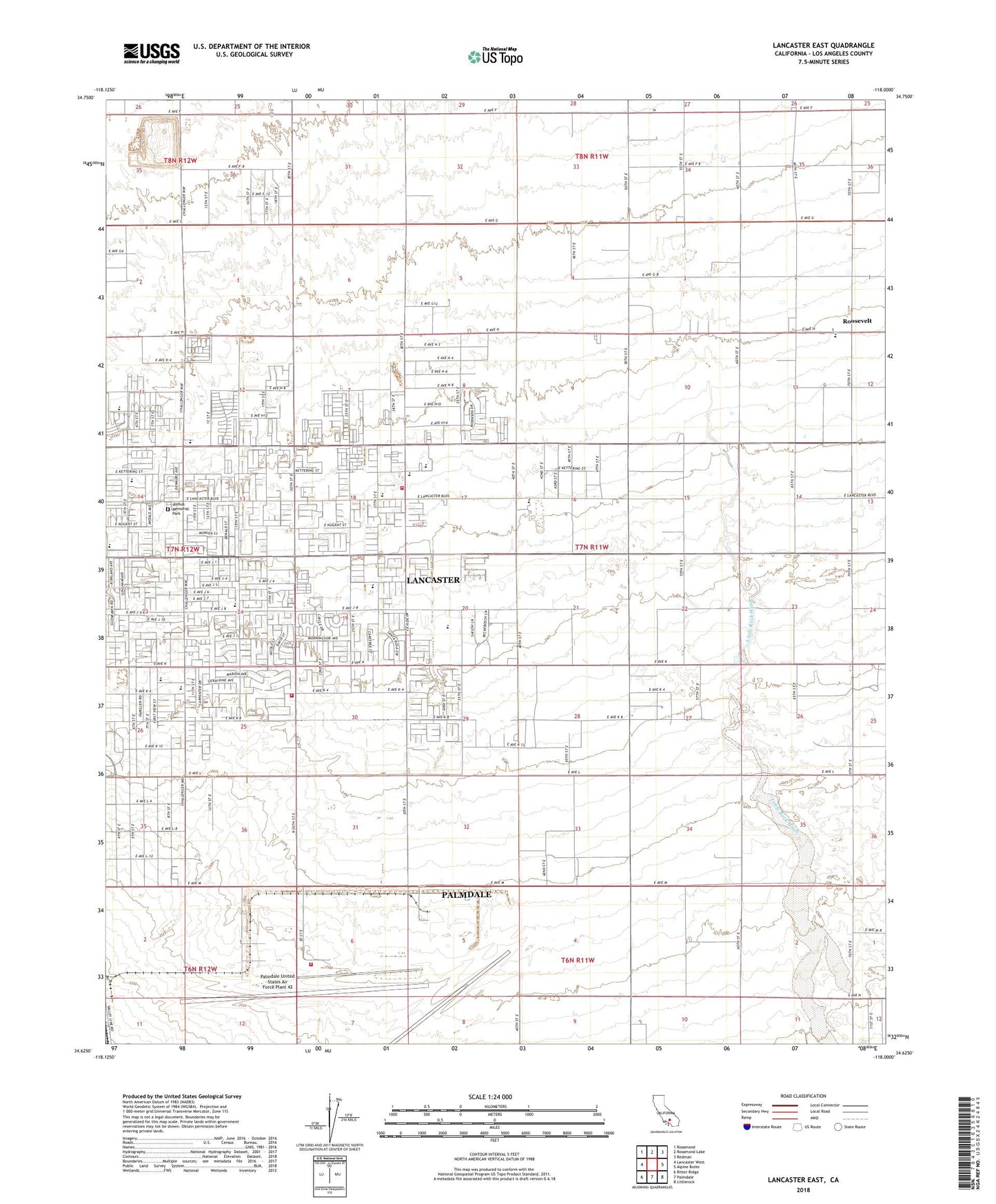
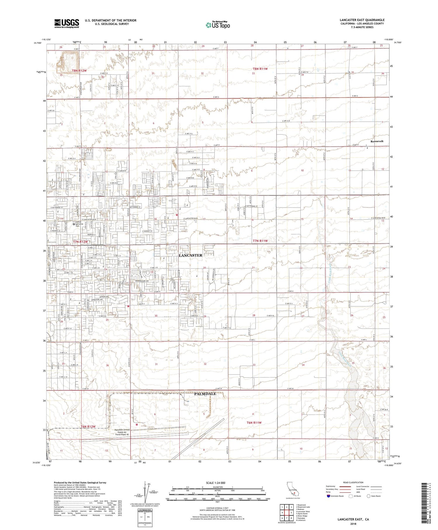
2022 topographic map quadrangle Lancaster East in the state of California. Scale: 1:24000. Based on the newly updated USGS 7.5' US Topo map series, this map is in the following counties: Los Angeles. The map contains contour data, water features, and other items you are used to seeing on USGS maps, but also has updated roads and other features. This is the next generation of topographic maps. Printed on high-quality waterproof paper with UV fade-resistant inks.
Quads adjacent to this one:
West: Lancaster West
Northwest: Rosamond
North: Rosamond Lake
Northeast: Redman
East: Alpine Butte
Southeast: Littlerock
South: Palmdale
Southwest: Ritter Ridge
This map covers the same area as the classic USGS quad with code o34118f1.
Contains the following named places: Airport Terminal Police, Antelope Ambulance Service, Desert Haven School, East Lancaster Plaza Shopping Center, East Side Elementary School, Eastside Park, El Dorado Elementary School, El Dorado Park, Joshua Memorial Park, KUTY-AM (Palmdale), Linda Verde Elementary School, Little Rock Wash, Los Angeles County Fire Department Station 117, Los Angeles County Fire Department Station 135, New Vista Elementary School, Piute Middle School, Rancho Sierra Golf Club, Roosevelt, Sheriffs Heliport, Skytower Park, Sterks Ranch Airport, Tierra Bonita Park, Tierra Bonita School, United States Air Force Plant 42 Fire Department Station 2


