MyTopo
Lancaster West California US Topo Map
Couldn't load pickup availability
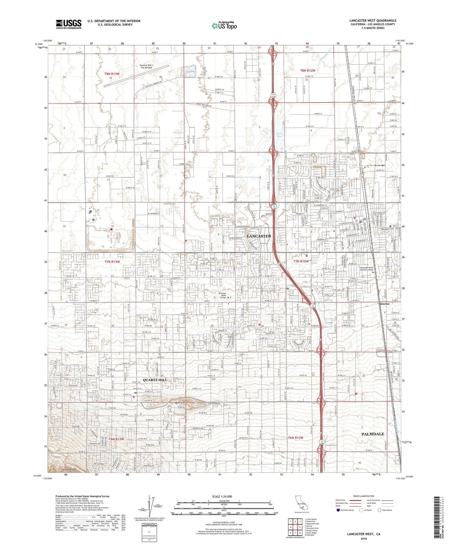
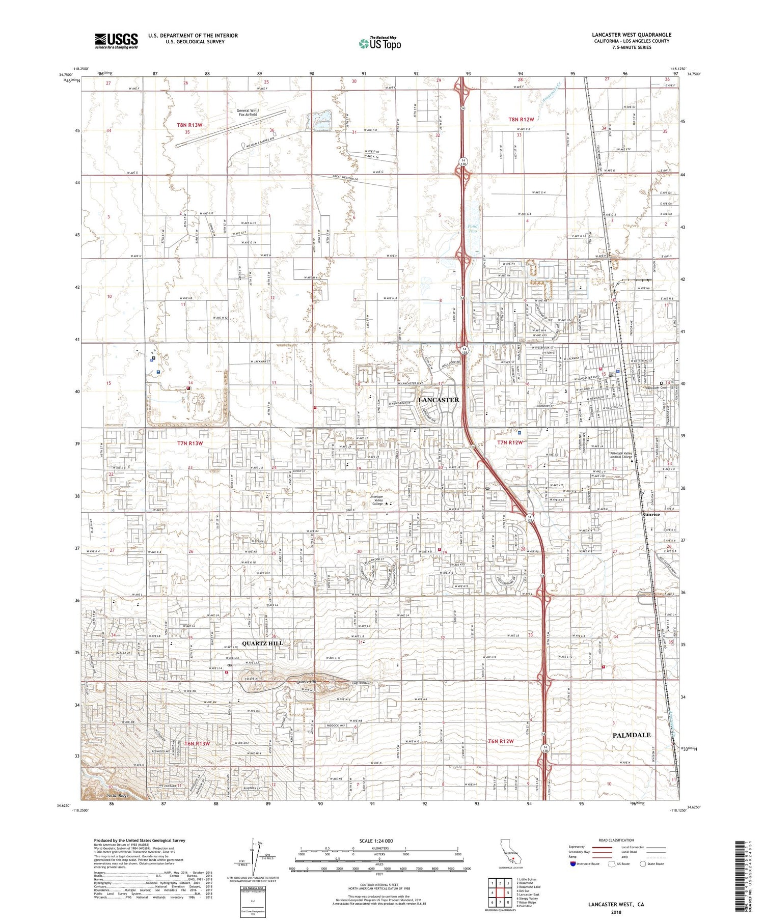
2022 topographic map quadrangle Lancaster West in the state of California. Scale: 1:24000. Based on the newly updated USGS 7.5' US Topo map series, this map is in the following counties: Los Angeles. The map contains contour data, water features, and other items you are used to seeing on USGS maps, but also has updated roads and other features. This is the next generation of topographic maps. Printed on high-quality waterproof paper with UV fade-resistant inks.
Quads adjacent to this one:
West: Del Sur
Northwest: Little Buttes
North: Rosamond
Northeast: Rosamond Lake
East: Lancaster East
Southeast: Palmdale
South: Ritter Ridge
Southwest: Sleepy Valley
This map covers the same area as the classic USGS quad with code o34118f2.
Contains the following named places: Adventist School, American Medical Response Antelope Valley, Antelope Valley Center Shopping Center, Antelope Valley Christian Center, Antelope Valley College, Antelope Valley County Administration Center, Antelope Valley Desert Riders Arena, Antelope Valley Fairgrounds, Antelope Valley High School, Antelope Valley Hospital, Antelope Valley Plaza Shopping Center, Antelope Valley Service Center Heliport, Apollo Park, Belleview School, Bethel Christian School, California Highway Patrol - Antelope Valley, California State Prison - Los Angeles County, California State Prison - Los Angeles County Fire Department, Cedar Post Office, Challenger Memorial Youth Center, Church of Christ, Church of Jesus Christ of Latter Day Saints, City of Lancaster, Denis, Desert Montessori Academy, Desert View Elementary School, Domenico School, First Baptist Church, First Church of Christ, General Wm J Fox Airfield, George Lane Park, Grace Chapel, Grace Lutheran Church, Grace Lutheran School, Greater Ephesians Missionary Church, Growing Valley Baptist Church, High Desert Medical Center, Hull Park, Jane Reynolds Park, Jet Drive-In, Joe Walker Middle School, Joshua Elementary School, KAVL-AM (Lancaster), KGMX-FM (Lancaster), KHJJ-AM (Lancaster), Kingdom Hall of Jehovah's Witnesses, Kleiner Park, Lancaster, Lancaster Branch County of Los Angeles Public Library, Lancaster Cemetery, Lancaster Christian School, Lancaster City Hall, Lancaster Commerce Center Shopping Center, Lancaster Community Hospital, Lancaster Museum, Lancaster New Life Church, Lancaster Performing Arts Center, Lancaster Post Office, Lancaster Presbyterian Church, Lancaster Seventh Day Adventist Church, Lancaster Tubercular Rest Home, Lancaster United Methodist Church, Living Word Fellowship Church, Los Angeles County - High Desert Hospital, Los Angeles County Animal Shelter Number 5, Los Angeles County Fire Department Station 129, Los Angeles County Fire Department Station 130, Los Angeles County Fire Department Station 134, Los Angeles County Fire Department Station 33, Los Angeles County Fire Department Station 84, Los Angeles County Sheriff's - Lancaster Station, Marauder Stadium, Mariposa Elementary School, Mariposa Park, Mays Field, Meadowlark Golf Course, Mira Loma Detention Facility, Monte Vista Elementary School, Nancy Cory Elementary School, Ngeles County Mira Loma Sheriff's Office, North Antelope Valley Division, Our Savior's Lutheran Church, Paraclete High School, Park View Intermediate School, Pond Two, Quartz Hill, Quartz Hill Airport, Quartz Hill Assembly of God Church, Quartz Hill Branch County of Los Angeles Public Library, Quartz Hill Census Designated Place, Quartz Hill Elementary School, Quartz Hill High School, Quartz Hill Post Office, Rawley Duntley Park, Rescue Services International, Revealing Truth Church, Sacred Heart Catholic Church, Sacred Heart Elementary School, Saint Hillrie Church of God, Sierra Elementary School, Sierra Villa Mobile Home Park, Solid Rock Bible Church, Sunnydale Elementary School, Sunrise, Valley Central Shopping Center, Valley View Elementary School, West Lancaster Plaza Shopping Center, West Wind Elementary School, ZIP Code: 93534


