MyTopo
Layton Spring California US Topo Map
Couldn't load pickup availability
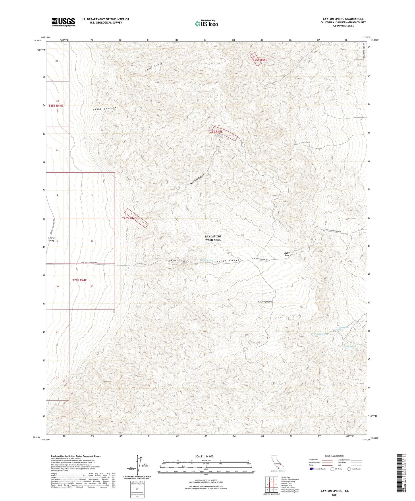
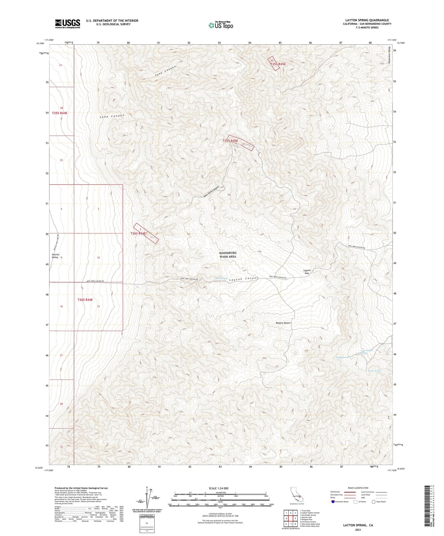
2021 topographic map quadrangle Layton Spring in the state of California. Scale: 1:24000. Based on the newly updated USGS 7.5' US Topo map series, this map is in the following counties: San Bernardino. The map contains contour data, water features, and other items you are used to seeing on USGS maps, but also has updated roads and other features. This is the next generation of topographic maps. Printed on high-quality waterproof paper with UV fade-resistant inks.
Quads adjacent to this one:
West: Searles Lake
Northwest: Trona East
North: Copper Queen Canyon
Northeast: Sourdough Spring
East: Wingate Pass
Southeast: Pilot Knob Valley East
South: Pilot Knob Valley West
Southwest: Christmas Canyon
Contains the following named places: Amity Spring, Colorado Mine, Early Spring, Ghost Mine, Johnson Mine, Lake View Mine, Layton Canyon, Layton Pass, Layton Spring, Layton Well, Lone Willow Spring, New York Canyon, New York Mine, Sand Canyon, Sandora Mine, Tank Canyon, Virginia Ann Mine