MyTopo
Lodgepole California US Topo Map
Couldn't load pickup availability
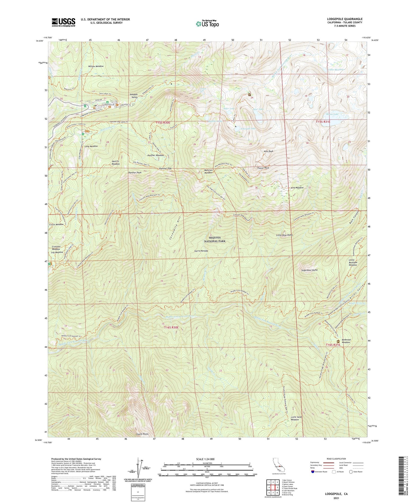
2021 topographic map quadrangle Lodgepole in the state of California. Scale: 1:24000. Based on the newly updated USGS 7.5' US Topo map series, this map is in the following counties: Tulare. The map contains contour data, water features, and other items you are used to seeing on USGS maps, but also has updated roads and other features. This is the next generation of topographic maps. Printed on high-quality waterproof paper with UV fade-resistant inks.
Quads adjacent to this one:
West: Giant Forest
Northwest: Muir Grove
North: Mount Silliman
Northeast: Sphinx Lakes
East: Triple Divide Peak
Southeast: Mineral King
South: Silver City
Southwest: Case Mountain
This map covers the same area as the classic USGS quad with code o36118e6.
Contains the following named places: Alta Meadow, Alta Peak, Aster Lake, Buck Canyon, Buck Creek, Castle Creek, Castle Creek Grove, Cliff Creek, Clover Creek, Congress Group, Crescent Meadow, Dome Creek, Eagle Scout Creek, Eagle View, Emerald Lake, Granite Creek, Heather Lake, High Sierra Trail, Horse Creek, Little Bearpaw Meadow, Little Blue Dome, Little Sand Meadow, Lodgepole, Lodgepole Ranger Station, Lodgepole Visitor Center, Log Bridge Campground, Log Meadow, Long Meadow, Mehrten Creek, Mehrten Meadow, Moose Lake, Moro Creek, Panoramic View, Panther Creek, Panther Gap, Panther Meadow, Panther Peak, Pear Lake, Pearl Lake Ranger Station, Red Fir Meadow, Redwood Meadow, Redwood Meadow Grove, Redwood Meadows Ranger Station, River Valley, Sequoia National Park Post Office, Sevenmile Hill, Silliman Creek, Sugarbowl Dome, Table Meadows, Tharps Log, Tharps Rock, Tokopah Falls, Tokopah Valley, Willow Meadow, Wolverton, Wolverton Corrals, ZIP Code: 93262