MyTopo
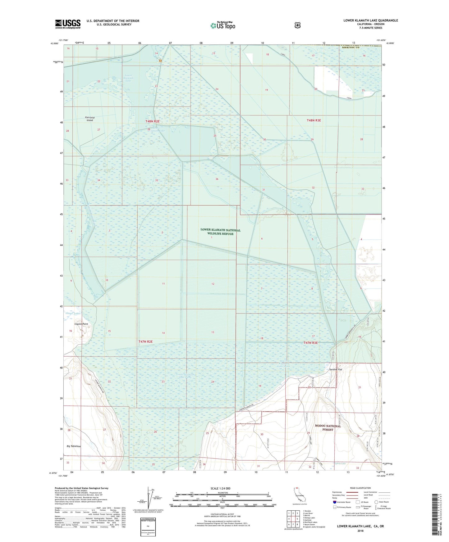
Lower Klamath Lake California US Topo Map
Couldn't load pickup availability
Also explore the Lower Klamath Lake Forest Service Topo of this same quad for updated USFS data
2022 topographic map quadrangle Lower Klamath Lake in the state of California. Scale: 1:24000. Based on the newly updated USGS 7.5' US Topo map series, this map is in the following counties: Siskiyou, Klamath. The map contains contour data, water features, and other items you are used to seeing on USGS maps, but also has updated roads and other features. This is the next generation of topographic maps. Printed on high-quality waterproof paper with UV fade-resistant inks.
Quads adjacent to this one:
West: Sheepy Lake
Northwest: Worden
North: Lost River
Northeast: Merrill
East: Hatfield
Southeast: Captain Jacks Stronghold
South: Mount Dome
Southwest: Red Rock Lakes
Contains the following named places: Chalk Bank Landing, Coyote Point, Fairchild Island, Falvey Lake, Glaser Lakes, Laird Landing, Lower Klamath Lake, Lower Klamath Lake Sump, Lower Klamath National Wildlife Refuge, P1 Canal, Sardine Flat, White Lake