MyTopo
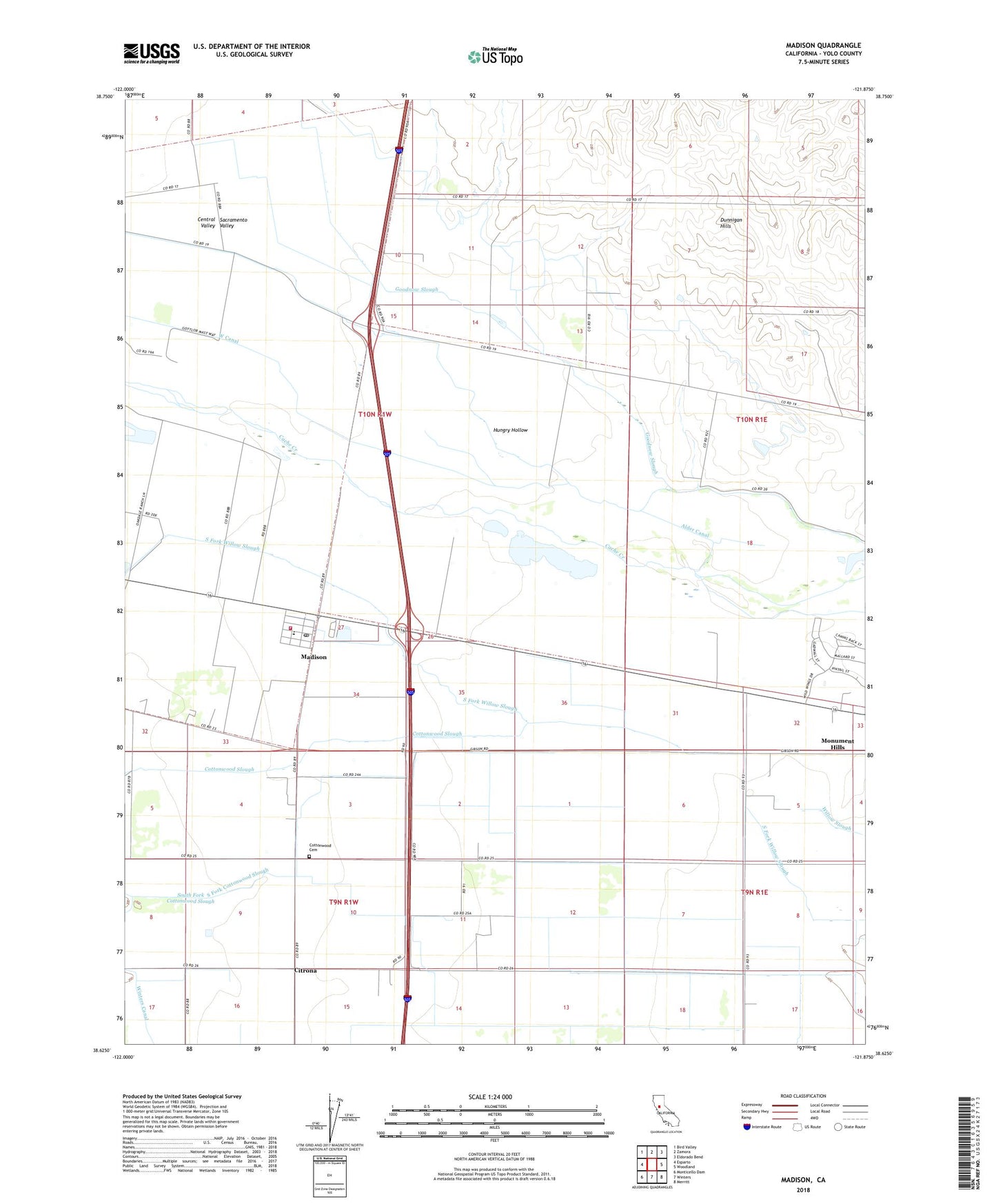
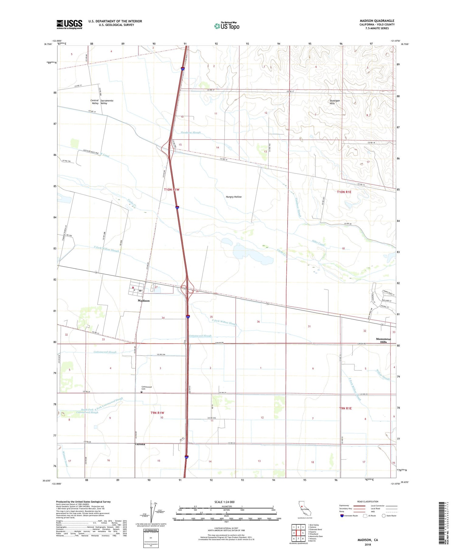
Madison California US Topo Map
Couldn't load pickup availability
2021 topographic map quadrangle Madison in the state of California. Scale: 1:24000. Based on the newly updated USGS 7.5' US Topo map series, this map is in the following counties: Yolo. The map contains contour data, water features, and other items you are used to seeing on USGS maps, but also has updated roads and other features. This is the next generation of topographic maps. Printed on high-quality waterproof paper with UV fade-resistant inks.
Quads adjacent to this one:
West: Esparto
Northwest: Bird Valley
North: Zamora
Northeast: Eldorado Bend
East: Woodland
Southeast: Merritt
South: Winters
Southwest: Monticello Dam
This map covers the same area as the classic USGS quad with code o38121f8.
Contains the following named places: Alder Canal, Cache Creek Dairy, Citrona, Clover School, Cottonwood, Cottonwood Cemetery, Cottonwood Slough, Goodnow Slough, Gordon School, Guesisosi, Jacobs Corner, Madison, Madison Census Designated Place, Madison Community High School, Madison Fire Protection District, Madison Pit, Madison Post Office, Madison Quarry, Monument Hills Census Designated Place, Moore Dam, Mount Pleasant District School, South Fork Cottonwood Slough, Winters Canal, Yolo County, ZIP Code: 95653