MyTopo
Mojave California US Topo Map
Couldn't load pickup availability
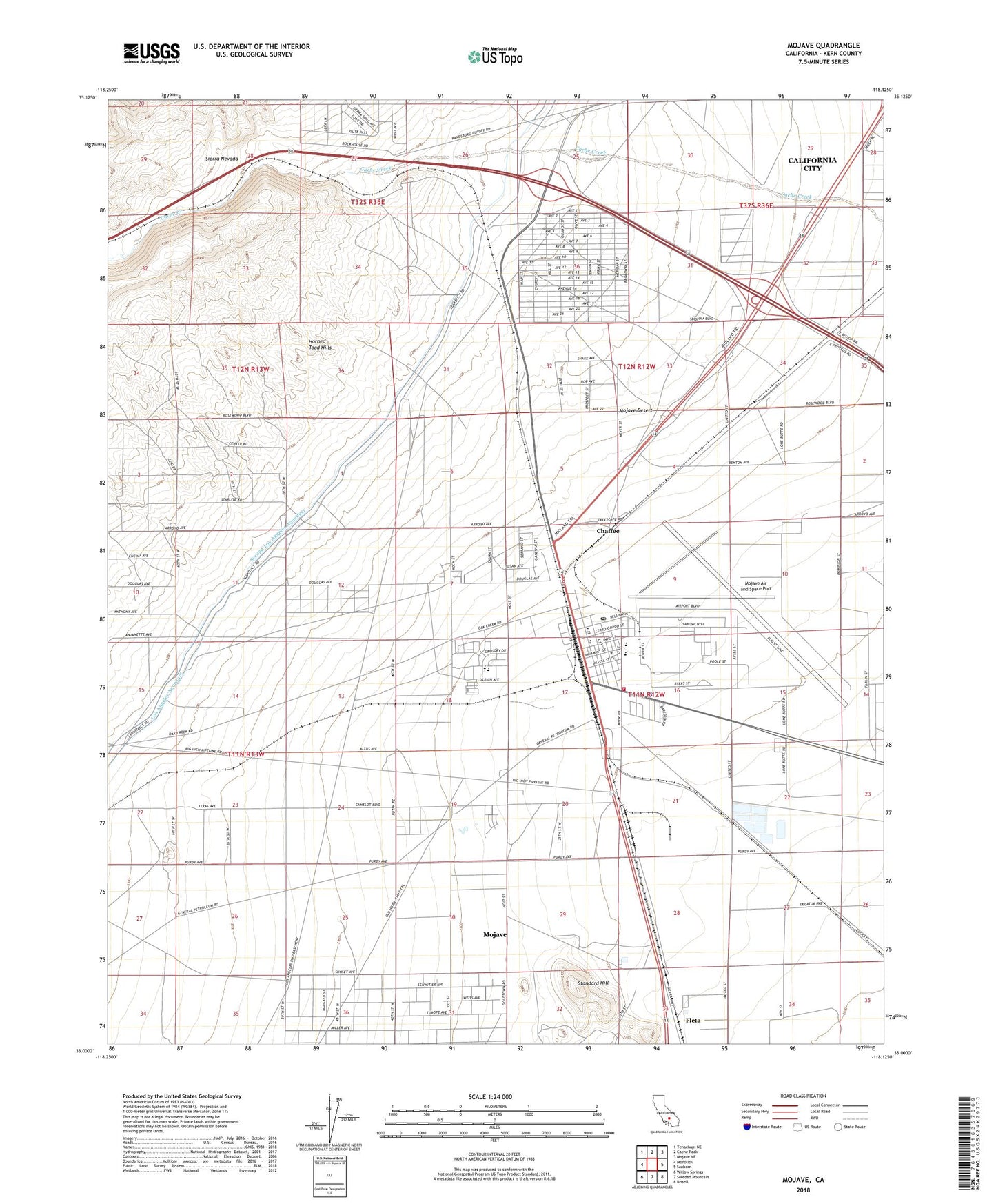
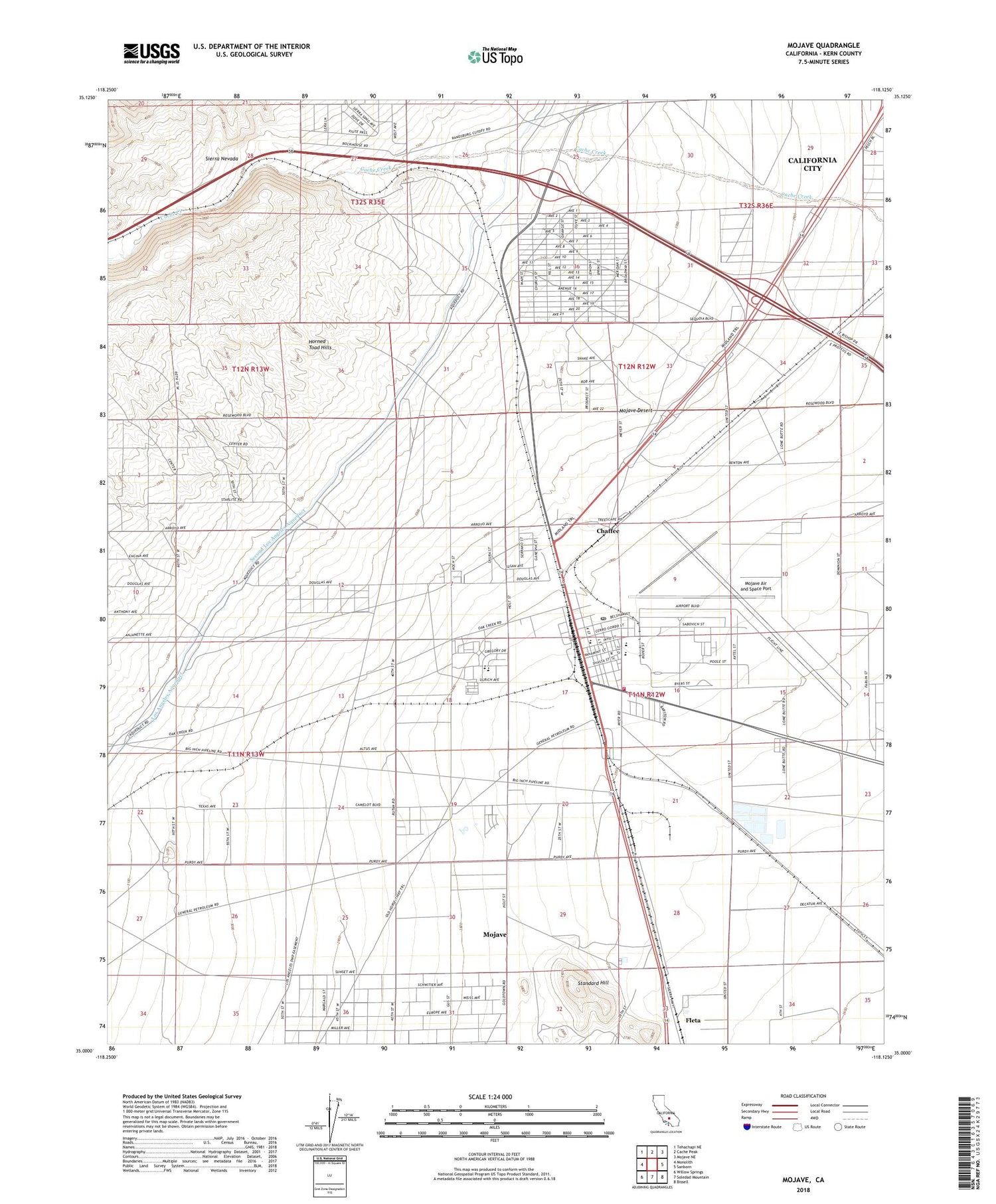
2022 topographic map quadrangle Mojave in the state of California. Scale: 1:24000. Based on the newly updated USGS 7.5' US Topo map series, this map is in the following counties: Kern. The map contains contour data, water features, and other items you are used to seeing on USGS maps, but also has updated roads and other features. This is the next generation of topographic maps. Printed on high-quality waterproof paper with UV fade-resistant inks.
Quads adjacent to this one:
West: Monolith
Northwest: Tehachapi NE
North: Cache Peak
Northeast: Mojave NE
East: Sanborn
Southeast: Bissell
South: Soledad Mountain
Southwest: Willow Springs
This map covers the same area as the classic USGS quad with code o35118a2.
Contains the following named places: Assembly of God Church, California Highway Patrol - Mojave, Cambio, Camelot Golf Course, Chaffee, First Southern Baptist Church, Fleta, Fram, Full Gospel House of Prayer, Gold Town, Hope Lutheran Church, Horned Toad Golf Club, Horned Toad Hills, Joshua Middle School, Kern County Fire Department Station 14 Mojave, Kern County Sheriff's Department, Kingdom Hall of Jehovahs Witnesses, KVOY-AM (Mojave), Mojave, Mojave Air and Space Port, Mojave Branch Kern County Library, Mojave Cemetery, Mojave Census Designated Place, Mojave Chamber of Commerce, Mojave Community Congregational Church, Mojave East Park, Mojave Elementary School, Mojave Junior / Senior High School, Mojave Missionary Baptist Church, Mojave Post Office, Mojave Unified School District Office, Mojave West Park, Mountain View High School, Muroc Naval Air Station, Reefer City, Reorganized Church of Jesus Christ of Latter Day Saints, Sage, Saint Francis Catholic Church, Seventh Day Adventist Church, Standard Hill, The Church of Jesus Christ of Latter Day Saints, Treasure Mine, Veterans Building, Warren, ZIP Code: 93501


