MyTopo
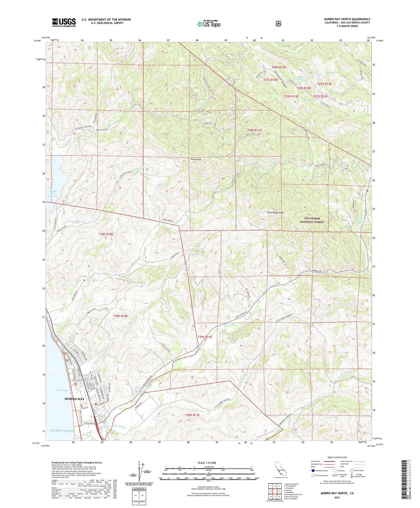
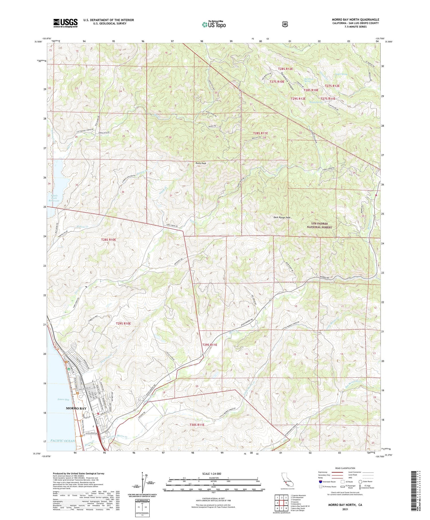
Morro Bay North California US Topo Map
Couldn't load pickup availability
Also explore the Morro Bay North Forest Service Topo of this same quad for updated USFS data
2021 topographic map quadrangle Morro Bay North in the state of California. Scale: 1:24000. Based on the newly updated USGS 7.5' US Topo map series, this map is in the following counties: San Luis Obispo. The map contains contour data, water features, and other items you are used to seeing on USGS maps, but also has updated roads and other features. This is the next generation of topographic maps. Printed on high-quality waterproof paper with UV fade-resistant inks.
Quads adjacent to this one:
West: Cayucos
Northwest: Cypress Mountain
North: York Mountain
Northeast: Templeton
East: Atascadero
Southeast: San Luis Obispo
South: Morro Bay South
Southwest: Morro Bay South OE W
This map covers the same area as the classic USGS quad with code o35120d7.
Contains the following named places: Alva Paul Creek, Atascadero State Beach, Beauty Spring, California Department of Forestry and Fire Protection Morro Torro Fire Station 14, Central School, Cottontail Creek, Dark Range Peak, Del Mar Elementary School, Del Mar Park, East Fork Morro Creek, Estero Bay United Methodist Church, Fairview School, First Baptist Church, First Christian Church, Laurel Spring, LIla Keiser Park, Little Morro Creek, Moro Y Cayucos, Morro Bay Christian Center, Morro Bay Fire Department Station 54, Morro Bay Foursquare Church, Morro Bay High School, Morro Bay Wastewater Treatment Plant, Morro Creek, Mountain View School, Rusty Peak, San Bernardo, Seventh Day Adventist Church, Smith Creek, South Fork Santa Rita Creek, Sycamore Canyon, Sycamore Spring, The Church of Jesus Christ of Latter Day Saints, Toro Creek, ZIP Code: 93442


