MyTopo
North Edwards California US Topo Map
Couldn't load pickup availability
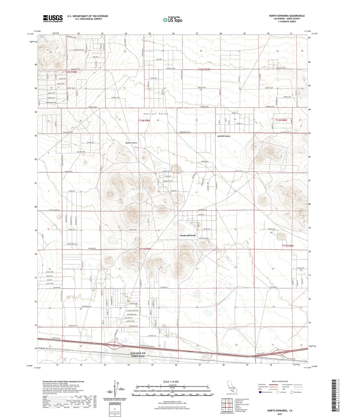
2021 topographic map quadrangle North Edwards in the state of California. Scale: 1:24000. Based on the newly updated USGS 7.5' US Topo map series, this map is in the following counties: Kern. The map contains contour data, water features, and other items you are used to seeing on USGS maps, but also has updated roads and other features. This is the next generation of topographic maps. Printed on high-quality waterproof paper with UV fade-resistant inks.
Quads adjacent to this one:
West: California City South
Northwest: California City North
North: Galileo Hill
Northeast: Boron NW
East: Boron
Southeast: Leuhman Ridge
South: Rogers Lake North
Southwest: Edwards
This map covers the same area as the classic USGS quad with code o35117a7.
Contains the following named places: Aerial Acres, Lynch School, North Edwards, North Edwards Census Designated Place, North Muroc, Peerless Valley, Thundering Herd Ranch