MyTopo
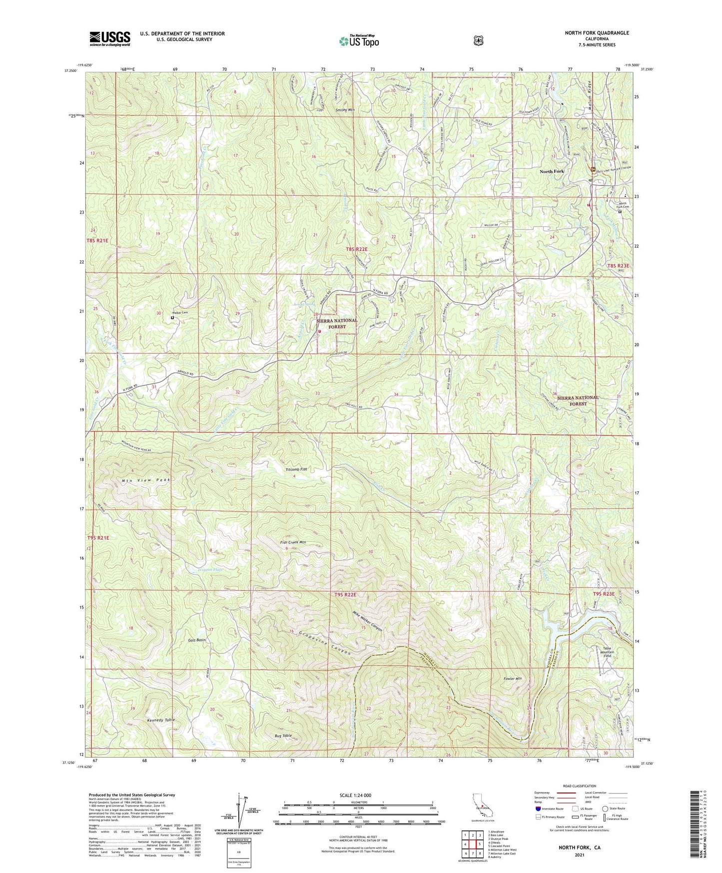
North Fork California US Topo Map
Couldn't load pickup availability
Also explore the North Fork Forest Service Topo of this same quad for updated USFS data
2021 topographic map quadrangle North Fork in the state of California. Scale: 1:24000. Based on the newly updated USGS 7.5' US Topo map series, this map is in the following counties: Madera, Fresno. The map contains contour data, water features, and other items you are used to seeing on USGS maps, but also has updated roads and other features. This is the next generation of topographic maps. Printed on high-quality waterproof paper with UV fade-resistant inks.
Quads adjacent to this one:
Northwest: Ahwahnee
North: Bass Lake
Northeast: Shuteye Peak
East: Cascadel Point
Southeast: Auberry
South: Millerton Lake East
Southwest: Millerton Lake West
This map covers the same area as the classic USGS quad with code o37119b5.
Contains the following named places: Arnold Creek, Arnold Spring, Bug Table, Church Ranch, Ciatana Creek, Department of Forestry and Fire Protection Rancheria Station, Fine Gold, Fish Creek, Fish Creek Mountain, Fowler Mountain, Fresno Banner Mine, Galt Basin, Grapevine Canyon, Hadley Ranch, Helms Creek, Ironton Flats, Kerckhoff Dam, Kerckhoff Lake, Little Fine Gold Creek, Madera County Fire Department Station 11 North Fork Volunteer Fire Department, Manzanita Lake, Mike Walker Canyon, Minarets Ranger Station, Mountain View Peak, Mountain View School, North Fork, North Fork Cemetery, North Fork Census Designated Place, North Fork Elementary School, North Fork Fine Gold Creek, North Fork Post Office, North Fork Town Hall, Number 2 Reservoir 95-012 Dam, Rancheria Fire Station CDF, Sierra-Mono Indian Museum, Smiley Mountain, Table Mountain Field, Titcomb Flat, Walker Cemetery, Wishon Powerhouse


