MyTopo
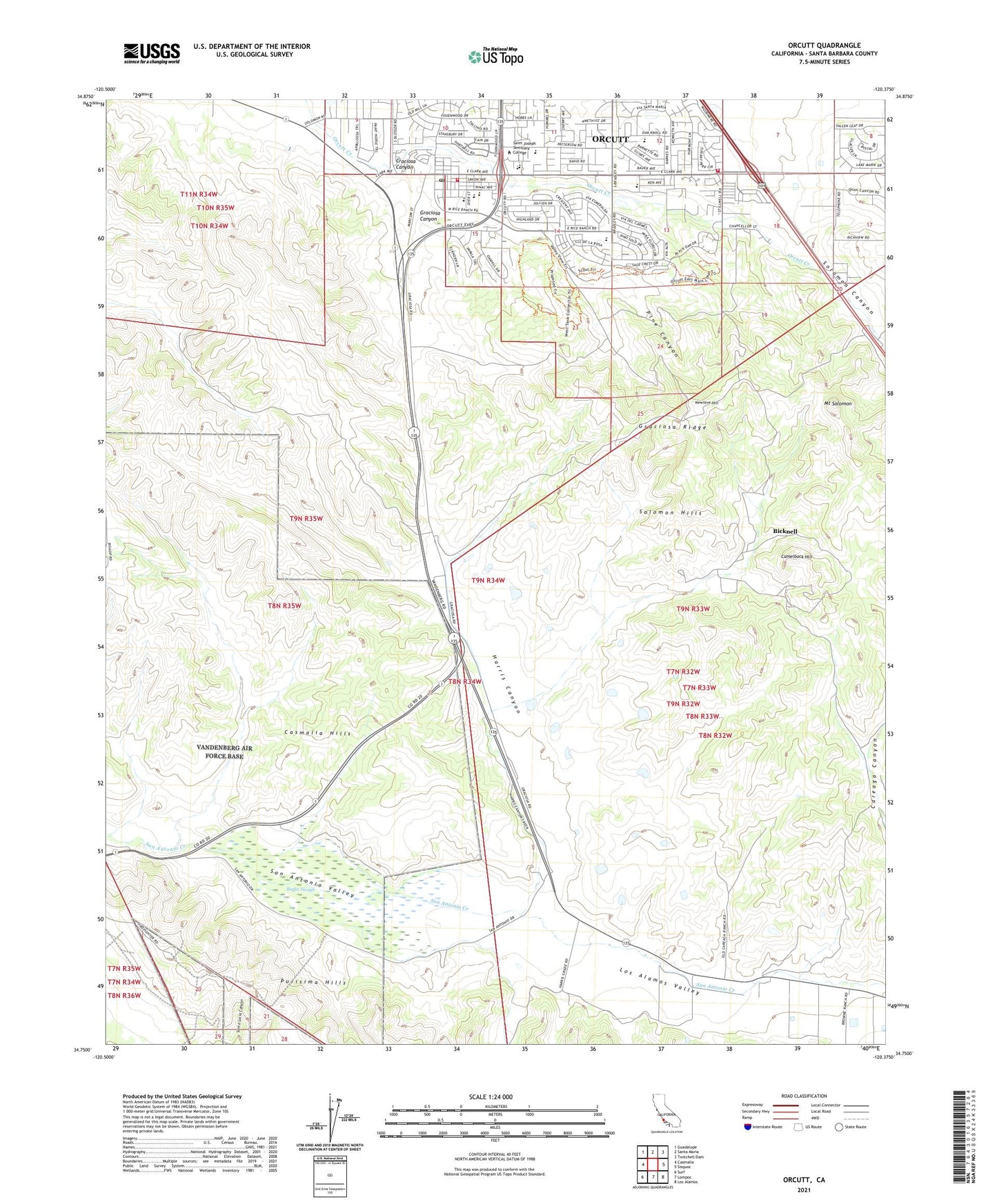
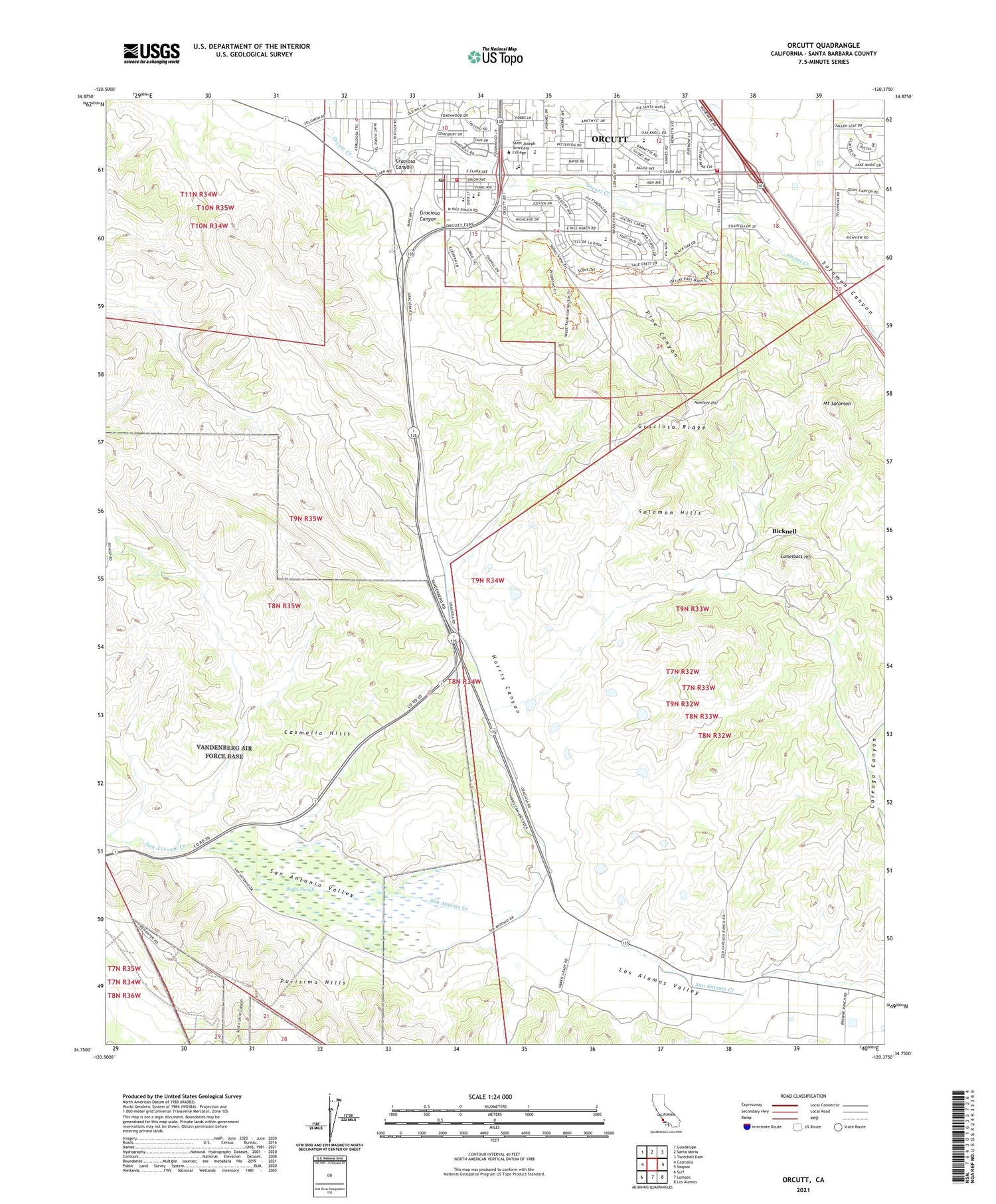
Orcutt California US Topo Map
Couldn't load pickup availability
2021 topographic map quadrangle Orcutt in the state of California. Scale: 1:24000. Based on the newly updated USGS 7.5' US Topo map series, this map is in the following counties: Santa Barbara. The map contains contour data, water features, and other items you are used to seeing on USGS maps, but also has updated roads and other features. This is the next generation of topographic maps. Printed on high-quality waterproof paper with UV fade-resistant inks.
Quads adjacent to this one:
West: Casmalia
Northwest: Guadalupe
North: Santa Maria
Northeast: Twitchell Dam
East: Sisquoc
Southeast: Los Alamos
South: Lompoc
Southwest: Surf
This map covers the same area as the classic USGS quad with code o34120g4.
Contains the following named places: Acorn Shopping Center, Barka Slough, Bicknell, Camelback Hill, Careaga Canyon, Cimarron Estates, Cimarron Estates Mobile Home Park, Craciosa Canyon, Delta Continuation High School, Divide Substation, Graciosa Canyon, Graciosa Ridge, Harris Canyon, House of Faith Church, KSNI-FM (Santa Maria), Los Alamos Valley, May Grisham School, Mount Solomon, Newlove Hill, Oak Knoll Shopping Center North, Oak Knoll Shopping Center South, Oak Knolls Baptist Church, Orcutt, Orcutt Academy Charter School, Orcutt Branch Santa Maria Public Library, Orcutt Census Designated Place, Orcutt Christian Church, Orcutt Junior High School, Orcutt Oil Field, Orcutt Post Office, Orcutt Presbyterian Church, Orcutt Union School District Office, Patterson Road School, Pine Canyon, Pine Grove Baptist Church, Pine Grove Elementary School, Ralph Dunlap Elementary School, Rancho Maria Public Golf Course, Saint Joseph Seminary College, Saint Louis De Montfort Catholic School, Saint Louis de Montfort Church, Santa Barbara County Fire Department Station 21, Santa Barbara County Fire Department Station 26, Santa Maria Valley Baptist Church, Solomon Canyon, Solomon Hills, Sunny Hills Estates Mobile Home Park, Todos Santos Y San Antonio, Town and Country Trailer Estates, Unity Chapel of Light Church, Viggie Flora Nursery, Whispering Tree Nursery, ZIP Code: 93455


