MyTopo
Oxalis California US Topo Map
Couldn't load pickup availability
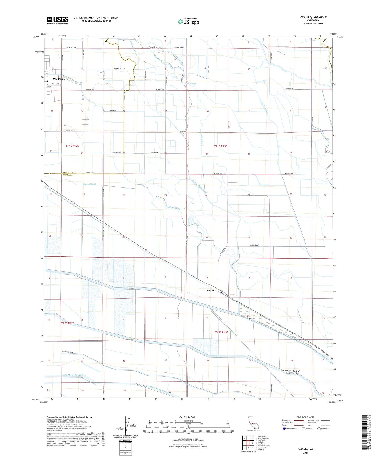
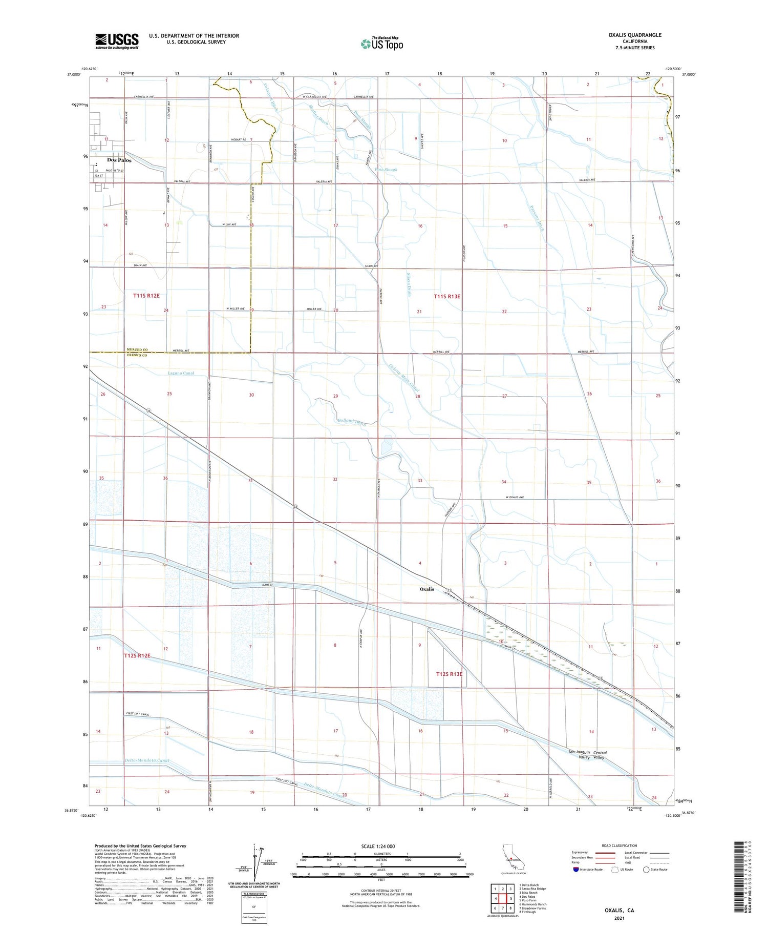
2021 topographic map quadrangle Oxalis in the state of California. Scale: 1:24000. Based on the newly updated USGS 7.5' US Topo map series, this map is in the following counties: Fresno, Merced, Madera. The map contains contour data, water features, and other items you are used to seeing on USGS maps, but also has updated roads and other features. This is the next generation of topographic maps. Printed on high-quality waterproof paper with UV fade-resistant inks.
Quads adjacent to this one:
West: Dos Palos
Northwest: Delta Ranch
North: Santa Rita Bridge
Northeast: Bliss Ranch
East: Poso Farm
Southeast: Firebaugh
South: Broadview Farms
Southwest: Hammonds Ranch
This map covers the same area as the classic USGS quad with code o36120h5.
Contains the following named places: Bryant Middle School, Central Ranch, Colony East Ditch, Colony Main Canal, Dos Palos High School, Golden Hoof Ranch, Hog Ranch, Holland Drain, Holland Farm, O'Bannion County Park, Oxalis, Parsons Ditch, Poso Canal Company Headquarters, Shafter Ditch, Silaxo Drain, Silaxo Farm, Silaxo Oil Pumping Station, Wolfson Ranch