MyTopo
Pyramid Peak California US Topo Map
Couldn't load pickup availability
Also explore the Pyramid Peak Forest Service Topo of this same quad for updated USFS data
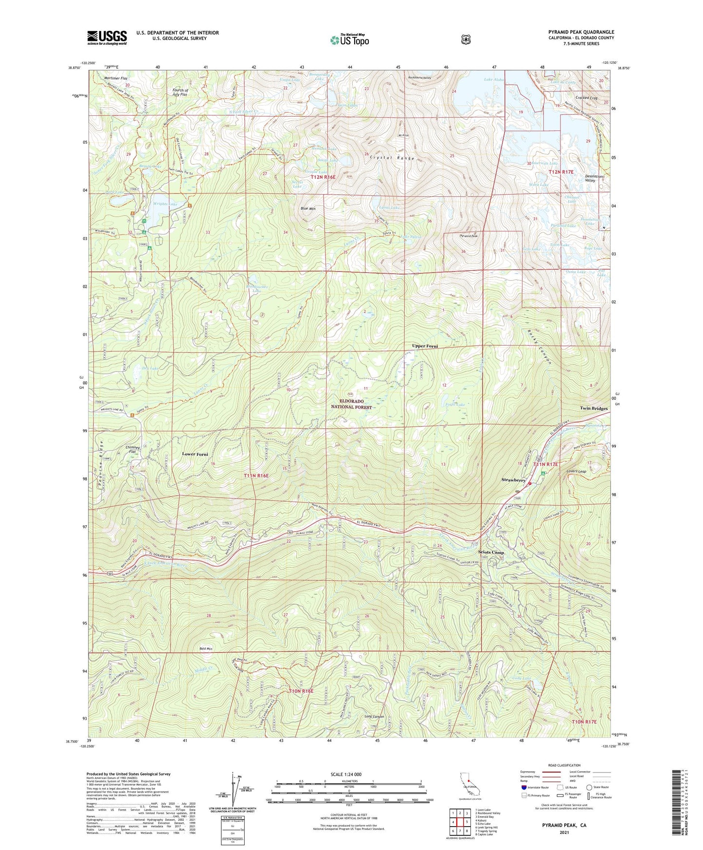
2021 topographic map quadrangle Pyramid Peak in the state of California. Scale: 1:24000. Based on the newly updated USGS 7.5' US Topo map series, this map is in the following counties: El Dorado. The map contains contour data, water features, and other items you are used to seeing on USGS maps, but also has updated roads and other features. This is the next generation of topographic maps. Printed on high-quality waterproof paper with UV fade-resistant inks.
Quads adjacent to this one:
West: Kyburz
Northwest: Loon Lake
North: Rockbound Valley
Northeast: Emerald Bay
East: Echo Lake
Southeast: Caples Lake
South: Tragedy Spring
Southwest: Leek Spring Hill
This map covers the same area as the classic USGS quad with code o38120g2.
Contains the following named places: American Lake, Bald Mountain, Beauty Lake, Bloodsucker Lake, Blue Mountain, Boomerang Lake, Camp Cody, Channel Lake, Chimney Flat, Cody Creek, Cody Lake, Cracked Crag, Crystal Range, Dark Lake, Desolation Lake, Desolation Valley, Dry Lake, El Dorado County Fire Protection District Station 15 Strawberry, Forni Creek, Forni Lake, Fortytwo Mile Campground, Fourth of July Flat, Gefo Lake, Grouse Lake, Hemlock Lake, Lake Aloha, Lake Le Conte, Lake Sylvia, Lovers Leap, Lovers Leap Campground, Lower Forni, Lyons, Lyons Lake, Medley Lakes 97-057 Dam, Mortimer Flat, Mount Price, Osma Lake, Packsaddle Pass, Peavine Ridge, Pitt Lake, Pyramid Campground, Pyramid Creek, Pyramid Guard Station, Pyramid Lake, Pyramid Peak, Rocky Canyon, Ropi Lake, Sciots Camp, Secret Lake, Smith Lake, Smith Lake 1-028 Dam, Station Creek, Strawberry, Strawberry Creek, Thirty-nine Mile Campground, Toem Lake, Twin Bridges Post Office, Twin Lakes, Umpa Lake, Upper Forni, Waca Lake, Wrights Lake, Wrights Lake Campgorund, ZIP Codes: 95720, 95735


