MyTopo
Rumsey California US Topo Map
Couldn't load pickup availability
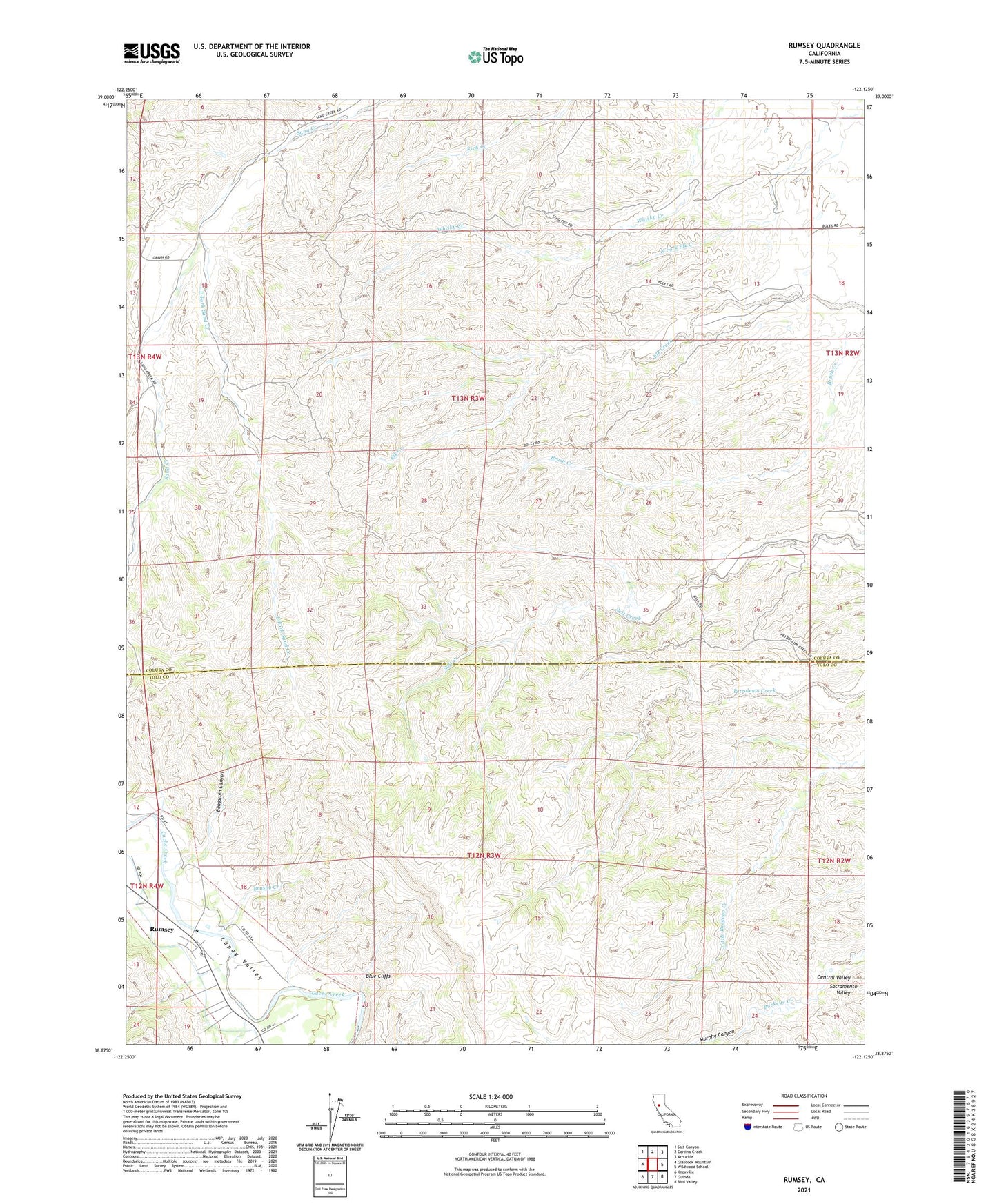
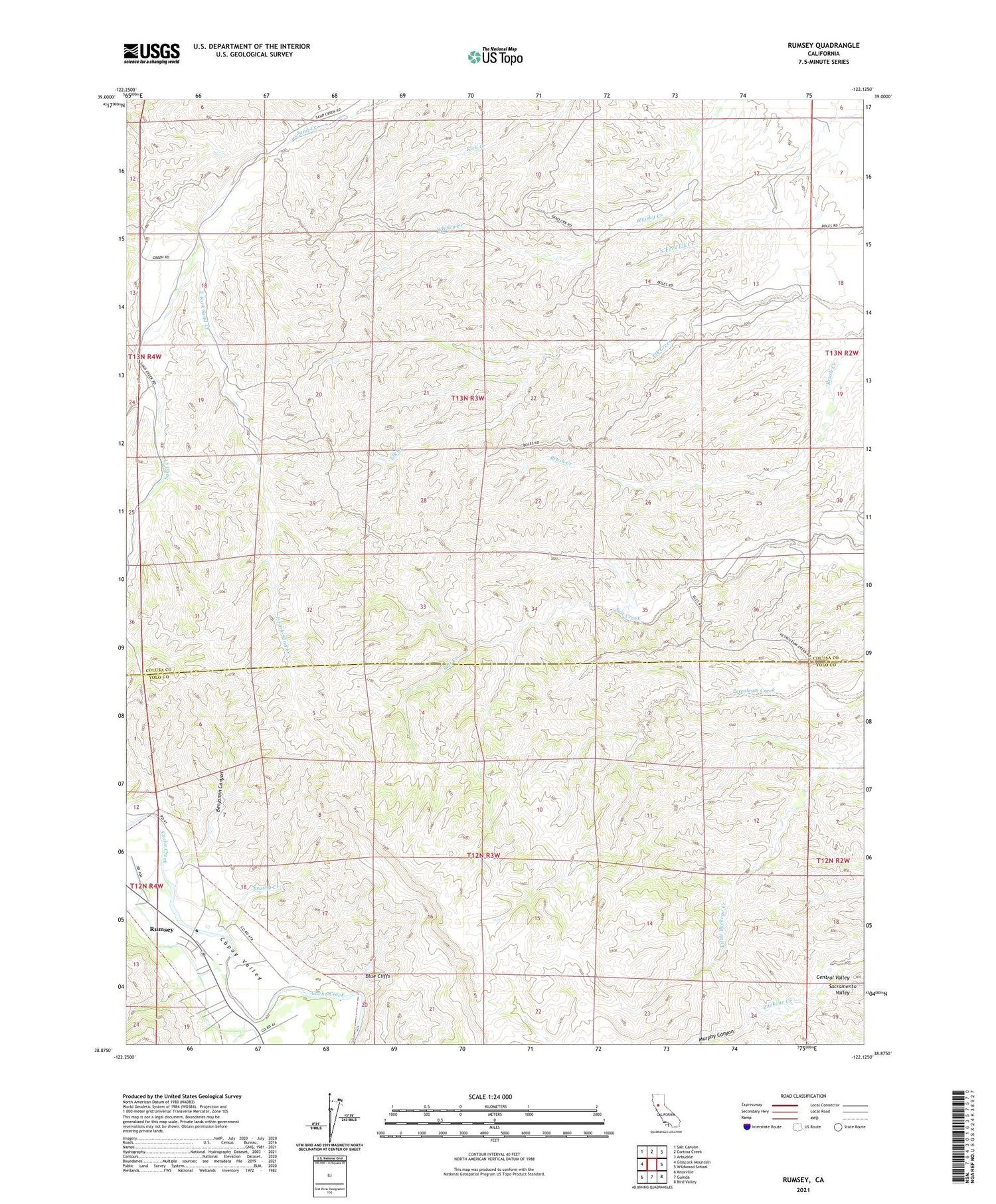
2021 topographic map quadrangle Rumsey in the state of California. Scale: 1:24000. Based on the newly updated USGS 7.5' US Topo map series, this map is in the following counties: Colusa, Yolo. The map contains contour data, water features, and other items you are used to seeing on USGS maps, but also has updated roads and other features. This is the next generation of topographic maps. Printed on high-quality waterproof paper with UV fade-resistant inks.
Quads adjacent to this one:
West: Glascock Mountain
Northwest: Salt Canyon
North: Cortina Creek
Northeast: Arbuckle
East: Wildwood School
Southeast: Bird Valley
South: Guinda
Southwest: Knoxville
This map covers the same area as the classic USGS quad with code o38122h2.
Contains the following named places: Benjamin Canyon, Blue Cliffs, Brushy Creek, East Fork Sand Creek, Murphy Canyon, Rumsey, Rumsey Census Designated Place, Rumsey Town Hall