
MyTopo
Saunders Reef California US Topo Map
Couldn't load pickup availability
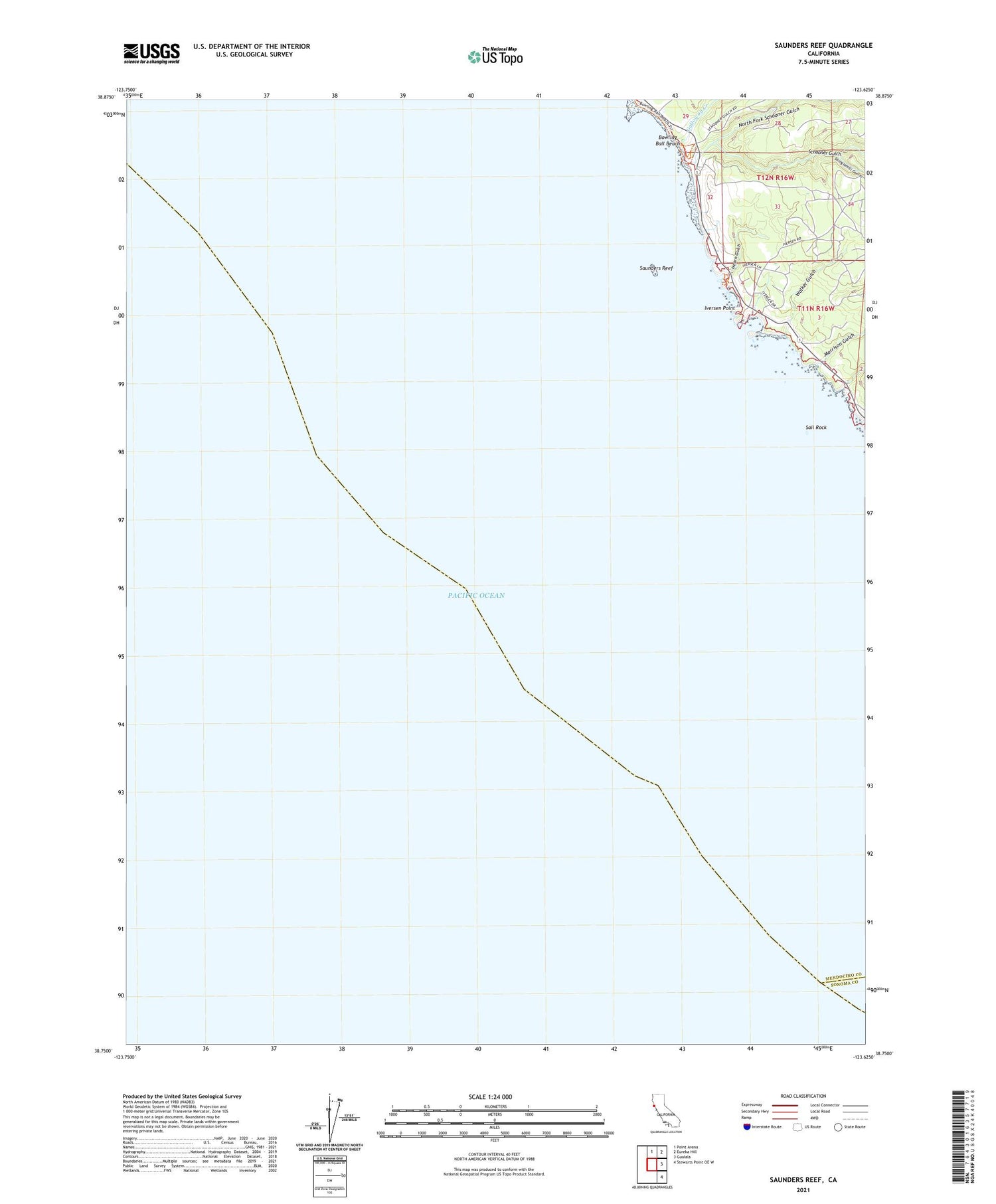
2021 topographic map quadrangle Saunders Reef in the state of California. Scale: 1:24000. Based on the newly updated USGS 7.5' US Topo map series, this map is in the following counties: Mendocino, Sonoma. The map contains contour data, water features, and other items you are used to seeing on USGS maps, but also has updated roads and other features. This is the next generation of topographic maps. Printed on high-quality waterproof paper with UV fade-resistant inks.
Quads adjacent to this one:
North: Point Arena
Northeast: Eureka Hill
East: Gualala
Southeast: Stewarts Point OE W
This map covers the same area as the classic USGS quad with code o38123g6.
Contains the following named places: Bowling Ball Beach, Gallaway, Galloway Creek, Galloway School, Hearn Gulch, Iversen Landing, Iversen Point, Morrison Gulch, North Fork Schooner Gulch, Sail Rock, Sail Rock Ranch, Saunders Landing, Saunders Reef, Schooner Gulch, Schooner Gulch State Beach, Shinglemill Gulch, Slick Rock Creek, Walker Gulch


