MyTopo
Stratford SE California US Topo Map
Couldn't load pickup availability
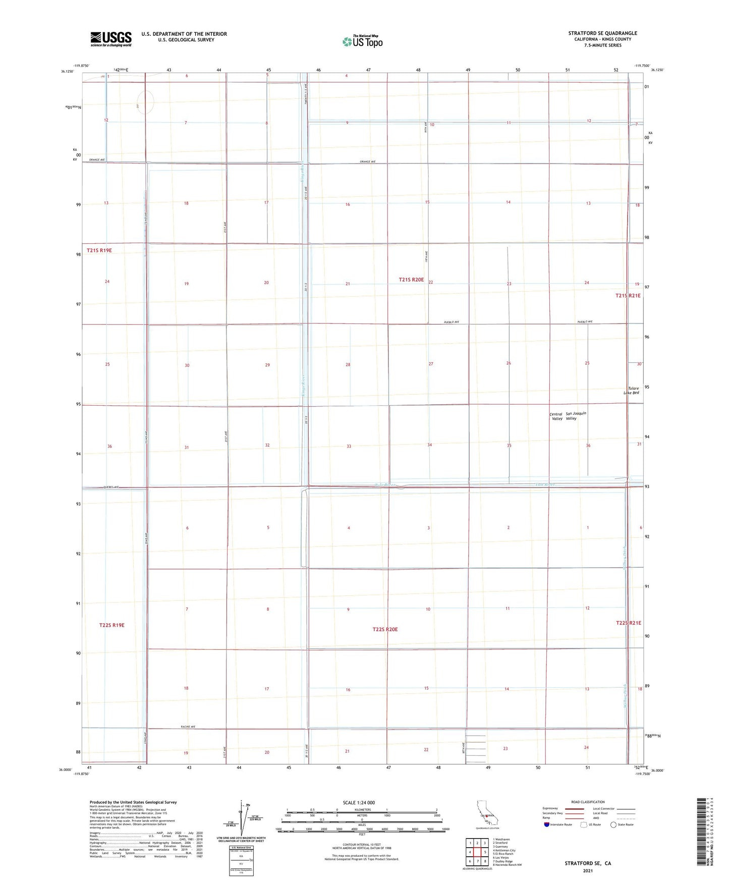
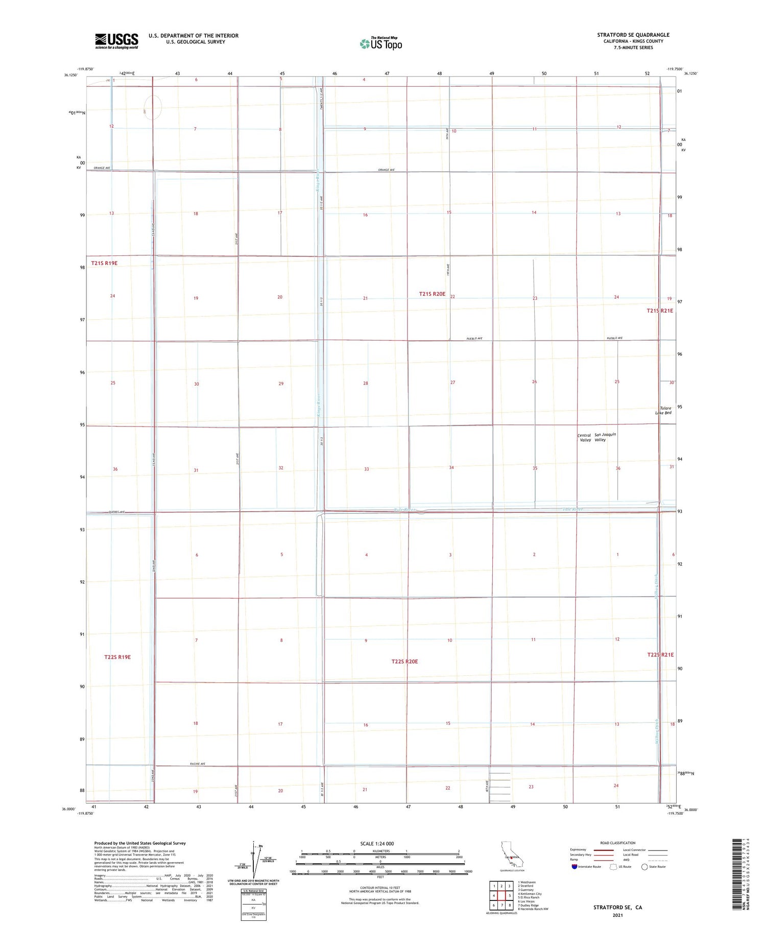
2021 topographic map quadrangle Stratford SE in the state of California. Scale: 1:24000. Based on the newly updated USGS 7.5' US Topo map series, this map is in the following counties: Kings. The map contains contour data, water features, and other items you are used to seeing on USGS maps, but also has updated roads and other features. This is the next generation of topographic maps. Printed on high-quality waterproof paper with UV fade-resistant inks.
Quads adjacent to this one:
West: Kettleman City
Northwest: Westhaven
North: Stratford
Northeast: Guernsey
East: El Rico Ranch
Southeast: Hacienda Ranch NW
South: Dudley Ridge
Southwest: Los Viejos
This map covers the same area as the classic USGS quad with code o36119a7.
Contains the following named places: Chatom Ranch, Cohn Levee, Goldberg Levee, Kings County, Kings River, Lovelace Levee, Midlake Substation, North Central Levee, Stratford Division, Tulare Lake Bed, Tule River, Wolfson Ranch