MyTopo
Stratford California US Topo Map
Couldn't load pickup availability
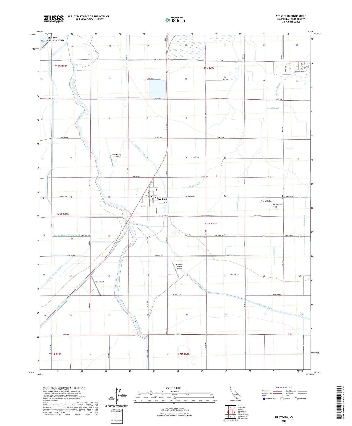
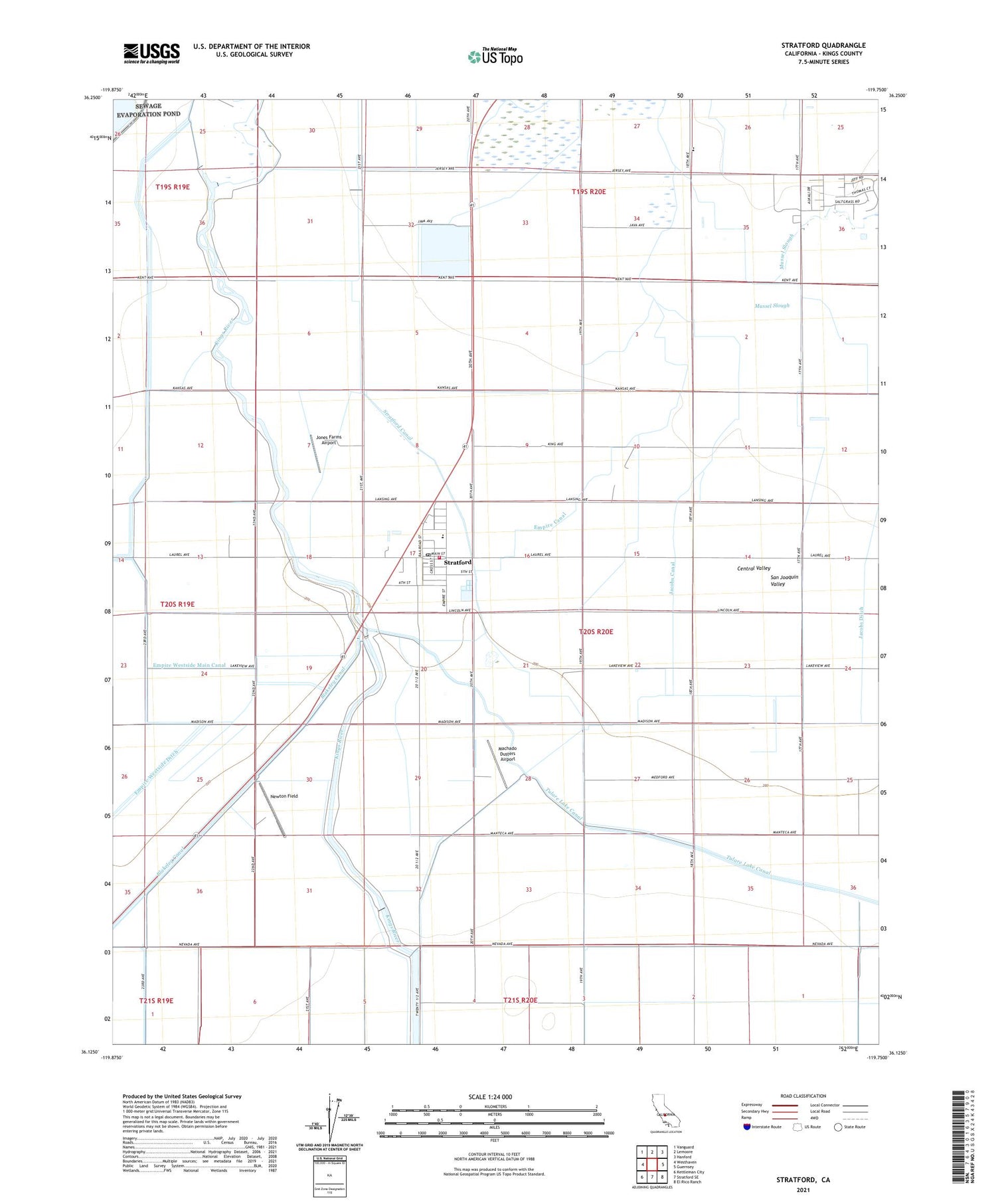
2021 topographic map quadrangle Stratford in the state of California. Scale: 1:24000. Based on the newly updated USGS 7.5' US Topo map series, this map is in the following counties: Kings. The map contains contour data, water features, and other items you are used to seeing on USGS maps, but also has updated roads and other features. This is the next generation of topographic maps. Printed on high-quality waterproof paper with UV fade-resistant inks.
Quads adjacent to this one:
West: Westhaven
Northwest: Vanguard
North: Lemoore
Northeast: Hanford
East: Guernsey
Southeast: El Rico Ranch
South: Stratford SE
Southwest: Kettleman City
This map covers the same area as the classic USGS quad with code o36119b7.
Contains the following named places: Avila And Fernandes Dairy, Benfica Dairy, Central Union Grange, Central Union School, Cuneo, Empire Canal, Empire School, Empire Weir Number One, Empire Weir Number Two, Empire Westside Main Canal, Jacobs Canal, Jacobs School, Jones Farms Airport, Kings County Fire Department Station 10 Stratford, Machado Dusters Airport, Marsala, Newton Field, Parreira Dairy, Pedro Dairy, Santa Rosa Rancheria, Stratford, Stratford Branch Kings County Library, Stratford Canal, Stratford Census Designated Place, Stratford Elementary School, Stratford Industrial Area, Stratford Post Office, ZIP Code: 93266