MyTopo
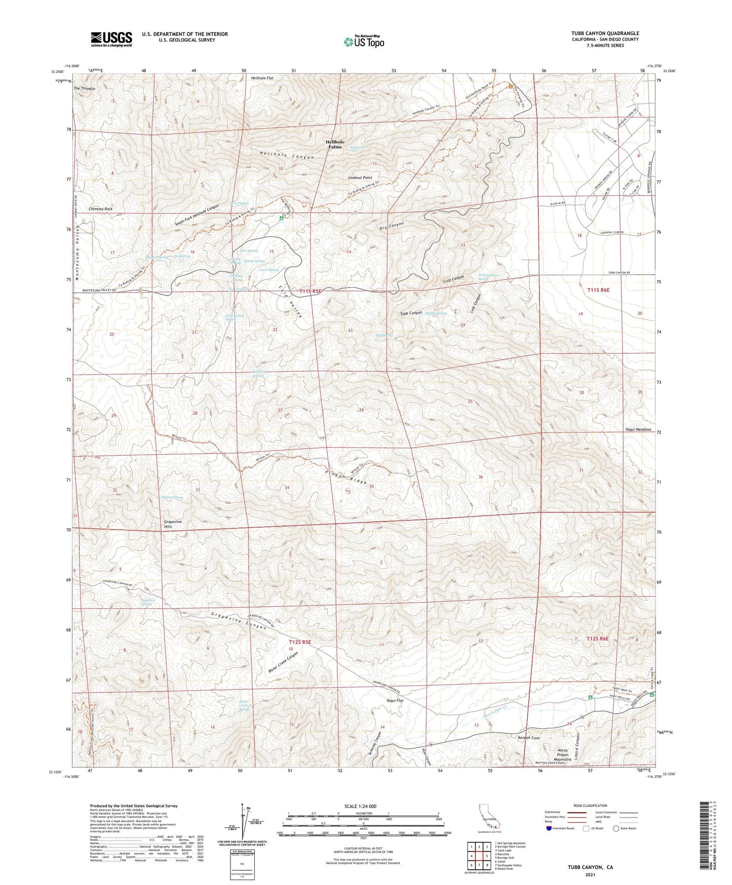
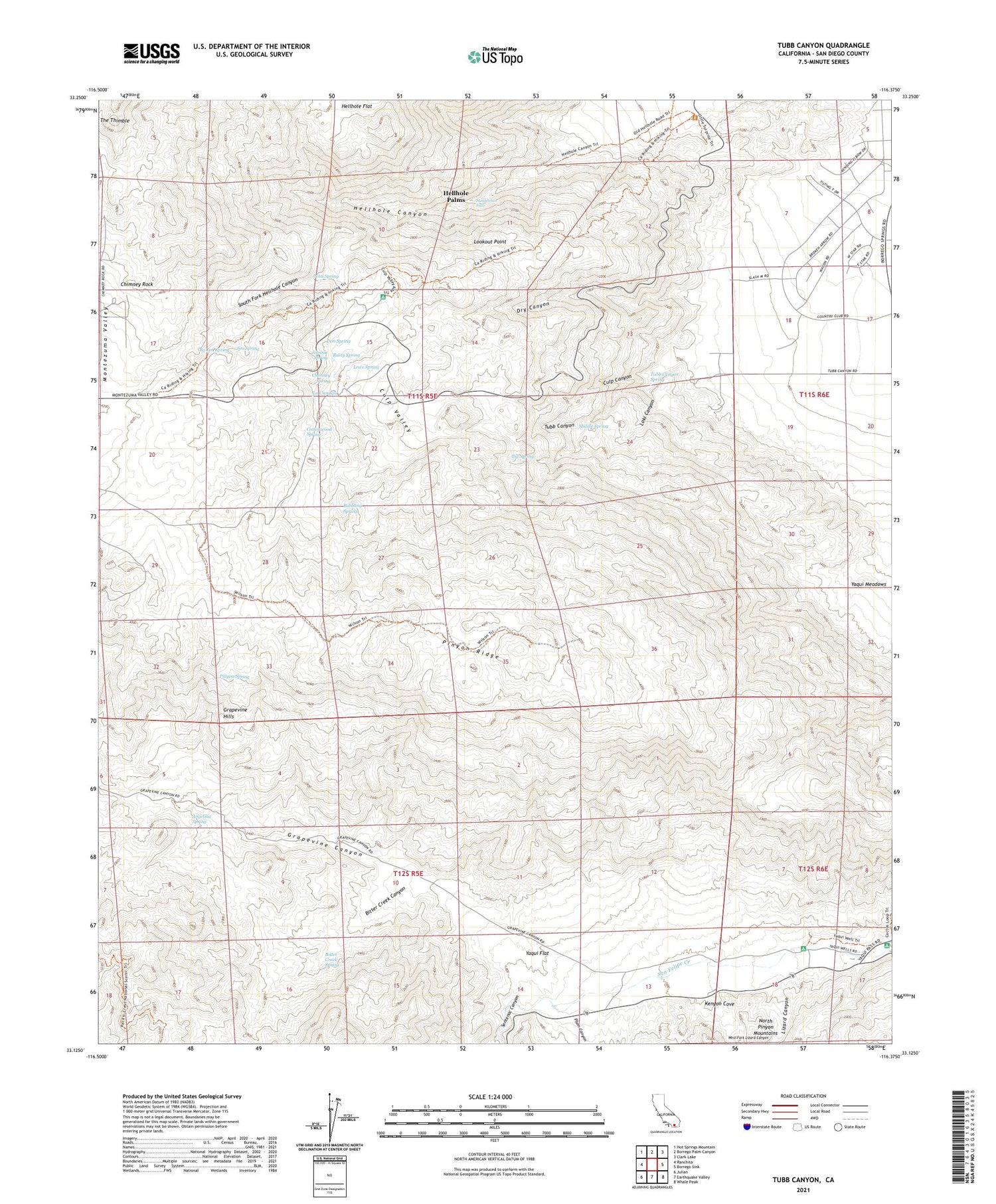
Tubb Canyon California US Topo Map
Couldn't load pickup availability
2021 topographic map quadrangle Tubb Canyon in the state of California. Scale: 1:24000. Based on the newly updated USGS 7.5' US Topo map series, this map is in the following counties: San Diego. The map contains contour data, water features, and other items you are used to seeing on USGS maps, but also has updated roads and other features. This is the next generation of topographic maps. Printed on high-quality waterproof paper with UV fade-resistant inks.
Quads adjacent to this one:
West: Ranchita
Northwest: Hot Springs Mountain
North: Borrego Palm Canyon
Northeast: Clark Lake
East: Borrego Sink
Southeast: Whale Peak
South: Earthquake Valley
Southwest: Julian
This map covers the same area as the classic USGS quad with code o33116b4.
Contains the following named places: Angelina Spring, Angelina Spring Cultural Preserve, Big Spring, Bitter Creek Canyon, Bitter Creek Spring, Bubbling Spring, By Jim Spring, Chimney Rock, Chimney Rock Ranch, Chimney Spring, Cottonwood Spring, Culp Canyon, Culp Valley, Culp Valley Cultural Preserve, Don Spring, Dry Canyon, Grapevine Canyon, Grapevine Hills, Hellhole Canyon, Hellhole Palms, Jim Spring, Johnnie Spring, Kenyon Cove, La Cienaga, Lews Spring, Lizard Canyon, Loki Canyon, Lookout Point, Maidenhair Falls, Middle Spring, Paroli Homesite Campground, Pena Spring, Pinyon Ridge, Pinyon Spring, Plum Canyon, Rusty Spring, Sentenac Canyon, South Fork Hellhole Canyon, Tamarisk Grove Campground, The Galleria Shopping Center, The Thimble, Tubb Canyon, Tubb Canyon Spring, Yaqui Flat, Yaqui Well, Yaqui Well Nature Trail


