MyTopo
Julian California US Topo Map
Couldn't load pickup availability
Also explore the Julian Forest Service Topo of this same quad for updated USFS data
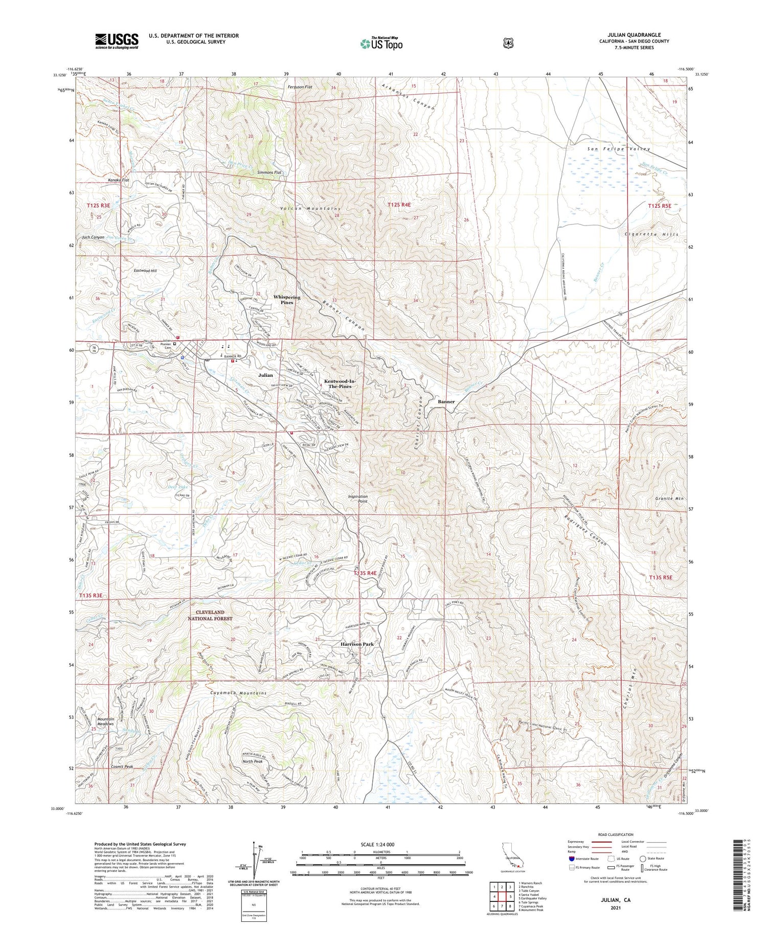
2021 topographic map quadrangle Julian in the state of California. Scale: 1:24000. Based on the newly updated USGS 7.5' US Topo map series, this map is in the following counties: San Diego. The map contains contour data, water features, and other items you are used to seeing on USGS maps, but also has updated roads and other features. This is the next generation of topographic maps. Printed on high-quality waterproof paper with UV fade-resistant inks.
Quads adjacent to this one:
West: Santa Ysabel
Northwest: Warners Ranch
North: Ranchita
Northeast: Tubb Canyon
East: Earthquake Valley
Southeast: Monument Peak
South: Cuyamaca Peak
Southwest: Tule Springs
This map covers the same area as the classic USGS quad with code o33116a5.
Contains the following named places: Agua Jito Mine, Arkansas Canyon, Banner, Banner Canyon, Banner Queen Mine, Banner Queen Trading Post, Bishop Stevens Campground, Branson, Camp Marston, Cedar Glen Camp, Chariot Canyon, Chariot Mine, Chariot Mountain, Chieftain Mine, Cigarette Hills, Cimarron Elementary School, Clarence King House, Cold Beef Mine, Cosmit Peak, Cosmit Reservation, Dan Price Creek, Deer Lake, Desert Queen Mine, Eagle Mine, Eastwood Creek, Eastwood Hill, El Dorado Mine, Elcuado Mine, Ella Mine Group, Ferguson Flat, Frank Lane Park, Friday Mine, Gardner Bluehill Mine, Gold Cross Mine, Golden Chariot Mine, Golden Ella Mine, Golden Queen Mine, Golden Sugar Mine, Gopher Mine, Harrison Park, Helvetia Mine, Hidden Treasure Mine, High Peak Mine, Homestake Mine, Hubbard Mines, Inspiration Point, Janet Mine, Jess Martin Park, Julain Elementary School, Julian, Julian - Cuyamaca Fire Protection District Station 56, Julian Branch San Diego County Library, Julian Census Designated Place, Julian Chamber of Commerce, Julian Community Baptist Church, Julian County Park, Julian High School, Julian Junior High School, Julian Pioneer Cemetery, Julian Pioneer Museum, Julian Post Office, Julian Town Hall, Kanaka Flat, KBNN-FM (Julian), Kentucky Mine Group, Kentwood-In-The-Pines, Keystone Pilot Mine, King Mine, Lucky Pardner Mine, Lucky Strike Mine, Madden Mine, Majestic Mine Group, Mariette Creek, Mason Valley Truck Trail, Mountain Meadows, Mountain Vale Ranch, New Owens Mine, North Peak, North Star Mine, Owens Mine, Padlock Mine, Pandora Mine, Pine Hills Lodge, Poorman Mine, Queen Mine, Ranchito Mine, Ray Redding Continuation High School, Ready Relief Mine, Red Hill Mine, Redmond Mine, Rodriguez Spur Truck Trail, Roosevelt Mine, Saint Elizabeths Church, San Diego County Sheriff's Office, San Diego Mine Group, San Felipe Ranch, Saratoga Mine, Simmons Flat, Tom Scott Mine, Townsite Prospect, Valle De San Felipe, Van Wert Mine, Volcan Mountains Wilderness Preserve, Warlock Mine Group, Washington Mine, Whispering Pines, Witch Creek School


