
MyTopo
Clark Lake California US Topo Map
Couldn't load pickup availability
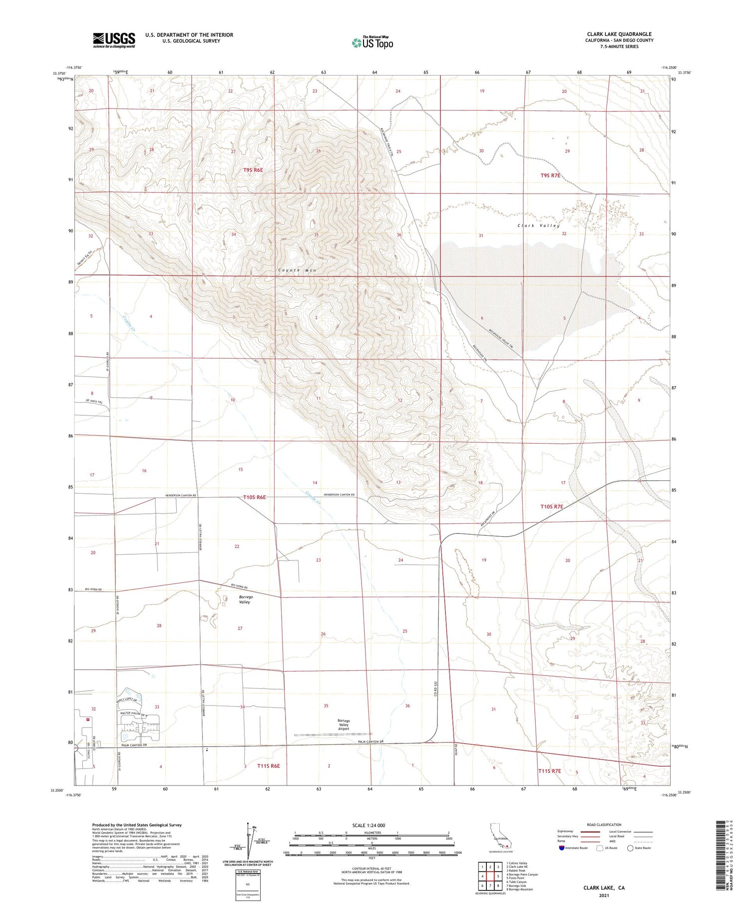
2021 topographic map quadrangle Clark Lake in the state of California. Scale: 1:24000. Based on the newly updated USGS 7.5' US Topo map series, this map is in the following counties: San Diego. The map contains contour data, water features, and other items you are used to seeing on USGS maps, but also has updated roads and other features. This is the next generation of topographic maps. Printed on high-quality waterproof paper with UV fade-resistant inks.
Quads adjacent to this one:
West: Borrego Palm Canyon
Northwest: Collins Valley
North: Clark Lake NE
Northeast: Rabbit Peak
East: Fonts Point
Southeast: Borrego Mountain
South: Borrego Sink
Southwest: Tubb Canyon
This map covers the same area as the classic USGS quad with code o33116c3.
Contains the following named places: Borrego Elementary School, Borrego Roadrunner Country Club, Borrego Springs Fire Protection District, Borrego Valley Airport, Borrego Valley Substation, Brinniger Ranch, Burand Borrow Pit, Clark Lake, Clark Valley, Clark Well, Coyote Mountain, El Rancho Mobile Home Park, Fonts Point Wash, Oliver Ranch, Pegleg Smith Historical Marker


