MyTopo
Tunnison Mountain California US Topo Map
Couldn't load pickup availability
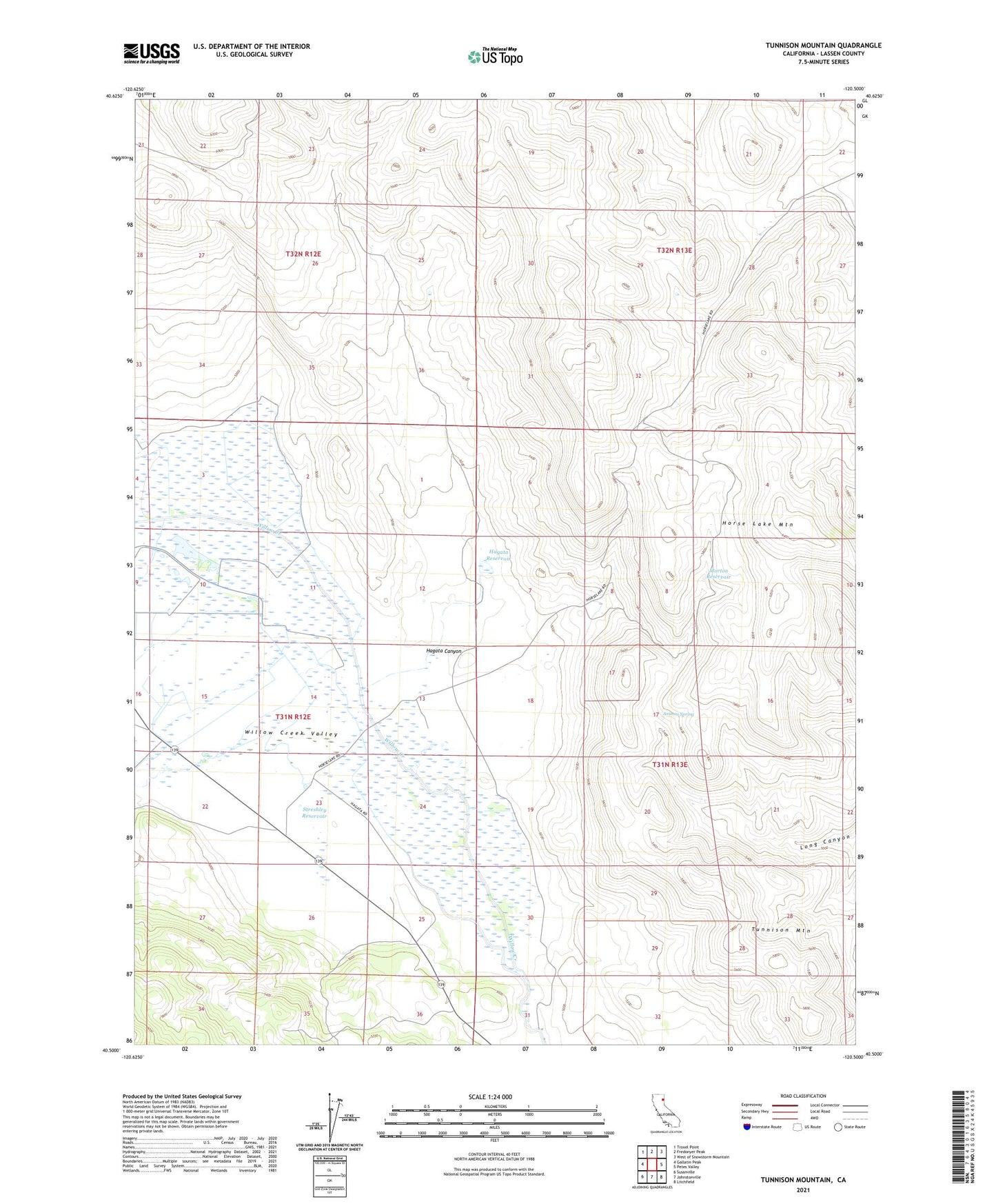
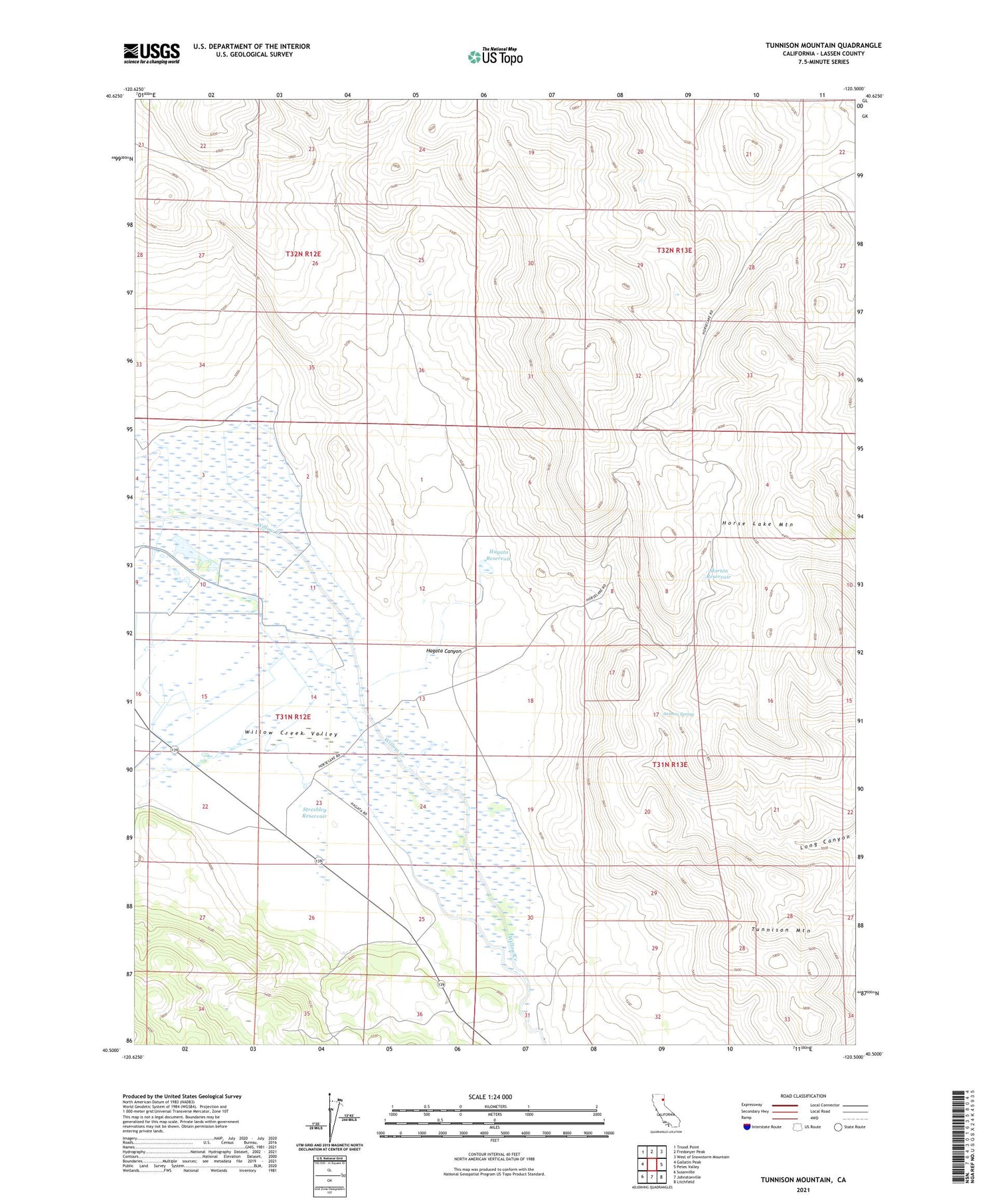
2021 topographic map quadrangle Tunnison Mountain in the state of California. Scale: 1:24000. Based on the newly updated USGS 7.5' US Topo map series, this map is in the following counties: Lassen. The map contains contour data, water features, and other items you are used to seeing on USGS maps, but also has updated roads and other features. This is the next generation of topographic maps. Printed on high-quality waterproof paper with UV fade-resistant inks.
Quads adjacent to this one:
West: Gallatin Peak
Northwest: Troxel Point
North: Fredonyer Peak
Northeast: West of Snowstorm Mountain
East: Petes Valley
Southeast: Litchfield
South: Johnstonville
Southwest: Susanville
Contains the following named places: Animas Spring, Hagata Canyon, Hagata Reservoir, Horse Lake Mountain, Morton Reservoir, Streshley Reservoir, Tunnison Mountain, Willow Creek Valley