MyTopo
West of Snowstorm Mountain California US Topo Map
Couldn't load pickup availability
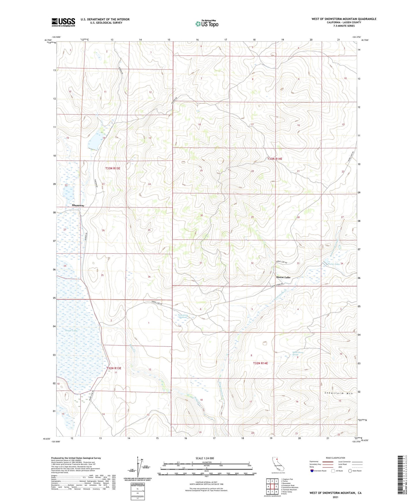
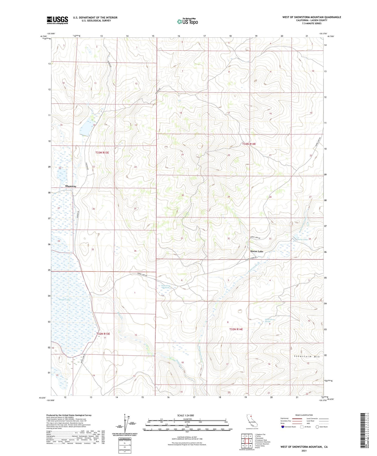
2021 topographic map quadrangle West of Snowstorm Mountain in the state of California. Scale: 1:24000. Based on the newly updated USGS 7.5' US Topo map series, this map is in the following counties: Lassen. The map contains contour data, water features, and other items you are used to seeing on USGS maps, but also has updated roads and other features. This is the next generation of topographic maps. Printed on high-quality waterproof paper with UV fade-resistant inks.
Quads adjacent to this one:
West: Fredonyer Peak
Northwest: Cleghorn Flat
North: Termo
Northeast: Ravendale
East: Snowstorm Mountain
Southeast: Karlo
South: Petes Valley
Southwest: Tunnison Mountain
Contains the following named places: Coon Camp, Coon Camp 249 Dam, Horse Lake, Horse Lake 245 Dam, Shumway, Snowstorm Ranch, Snowstorm Wetland, White Horse Spring, ZIP Code: 96123