MyTopo
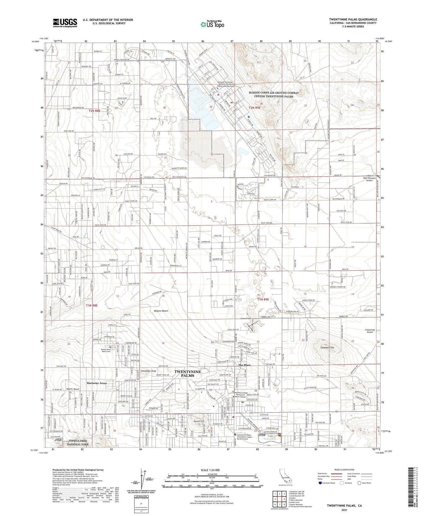
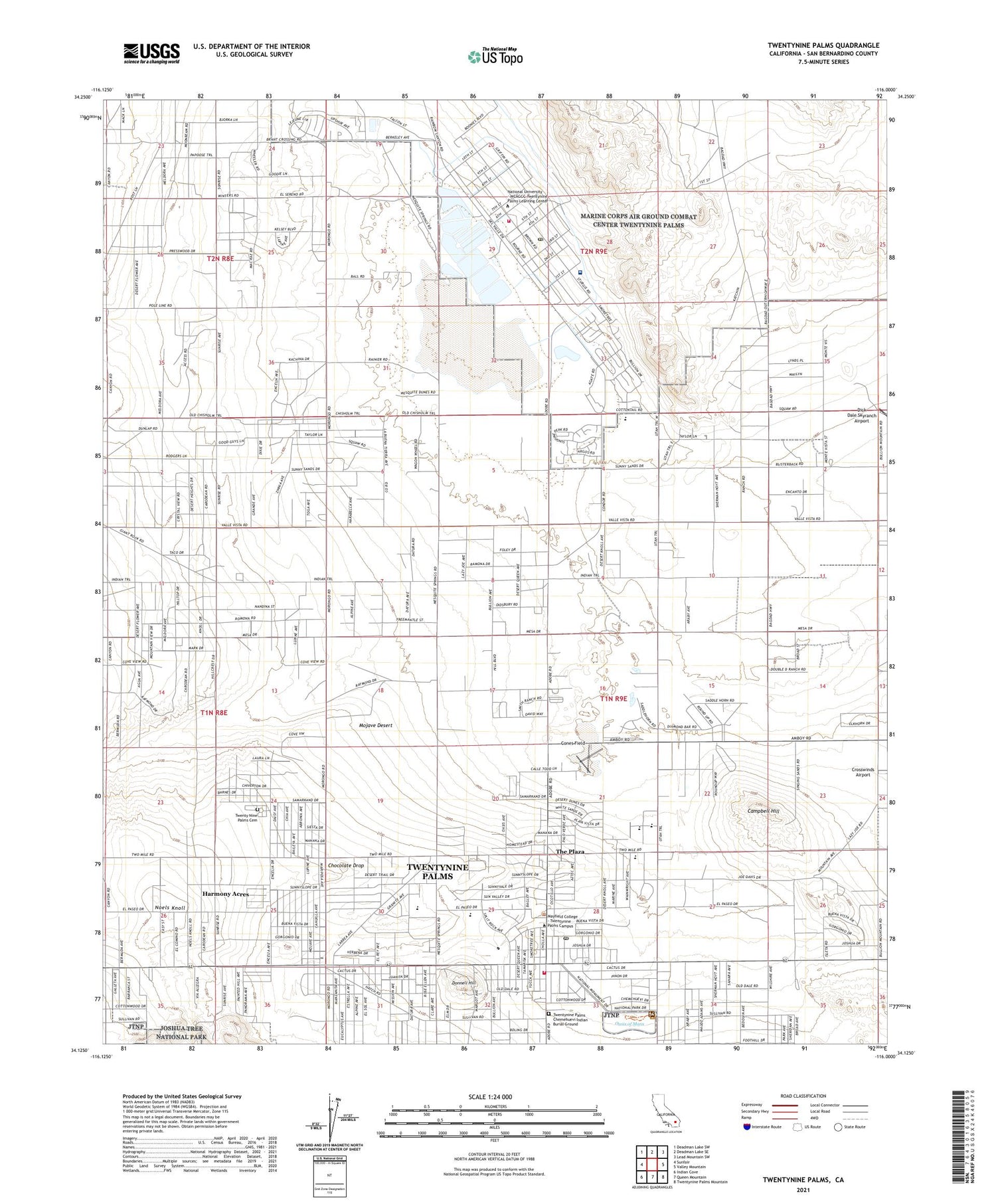
Twentynine Palms California US Topo Map
Couldn't load pickup availability
2023 topographic map quadrangle Twentynine Palms in the state of California. Scale: 1:24000. Based on the newly updated USGS 7.5' US Topo map series, this map is in the following counties: San Bernardino. The map contains contour data, water features, and other items you are used to seeing on USGS maps, but also has updated roads and other features. This is the next generation of topographic maps. Printed on high-quality waterproof paper with UV fade-resistant inks.
Quads adjacent to this one:
West: Sunfair
Northwest: Deadman Lake SW
North: Deadman Lake SE
Northeast: Lead Mountain SW
East: Valley Mountain
Southeast: Twentynine Palms Mountain
South: Queen Mountain
Southwest: Indian Cove
This map covers the same area as the classic USGS quad with code o34116b1.
Contains the following named places: Bauer Airport, Campbell Hill, Chocolate Drop, Church of Christ, City of Twentynine Palms, Combat Center Fire Department Station 451, Cones Field, Dick Dale Skyranch Airport, Donnell Hill, Faith in the Word Christian Center, First Baptist Church of Twentynine Palms, Harmony Acres, Joshua Tree National Monument Library, Knott Sky Park, Knott Sky Park Campground, Korean Blessing Mission Church, KVMD-TV (Twentynine Palms), Mesquite Lake, Naval Auxiliary Air Station Twentynine Palms, Noels Knoll, Oasis of Mara, Oasis Visitor Center, Palms Southern Baptist Church, Roadrunner Dunes Golf Course, Robert E Bush Naval Hospital, Saint Martin in the Fields Episcopal Church, Smith's Ranch Drive-In, Smoke Tree, The Plaza, Twenty Nine Palms Cemetery, Twentynine Palms, Twentynine Palms Base Census Designated Place, Twentynine Palms Branch San Bernardino County Library, Twentynine Palms Chemehuevi Indian Burial Ground, Twentynine Palms Elementary School, Twentynine Palms Fire Department Station 421 Headquarters, Twentynine Palms High School, Twentynine Palms Junior High School, Twentynine Palms Marine Corp Base Post Office, Twentynine Palms Post Office, ZIP Code: 92278


