MyTopo
Weed California US Topo Map
Couldn't load pickup availability
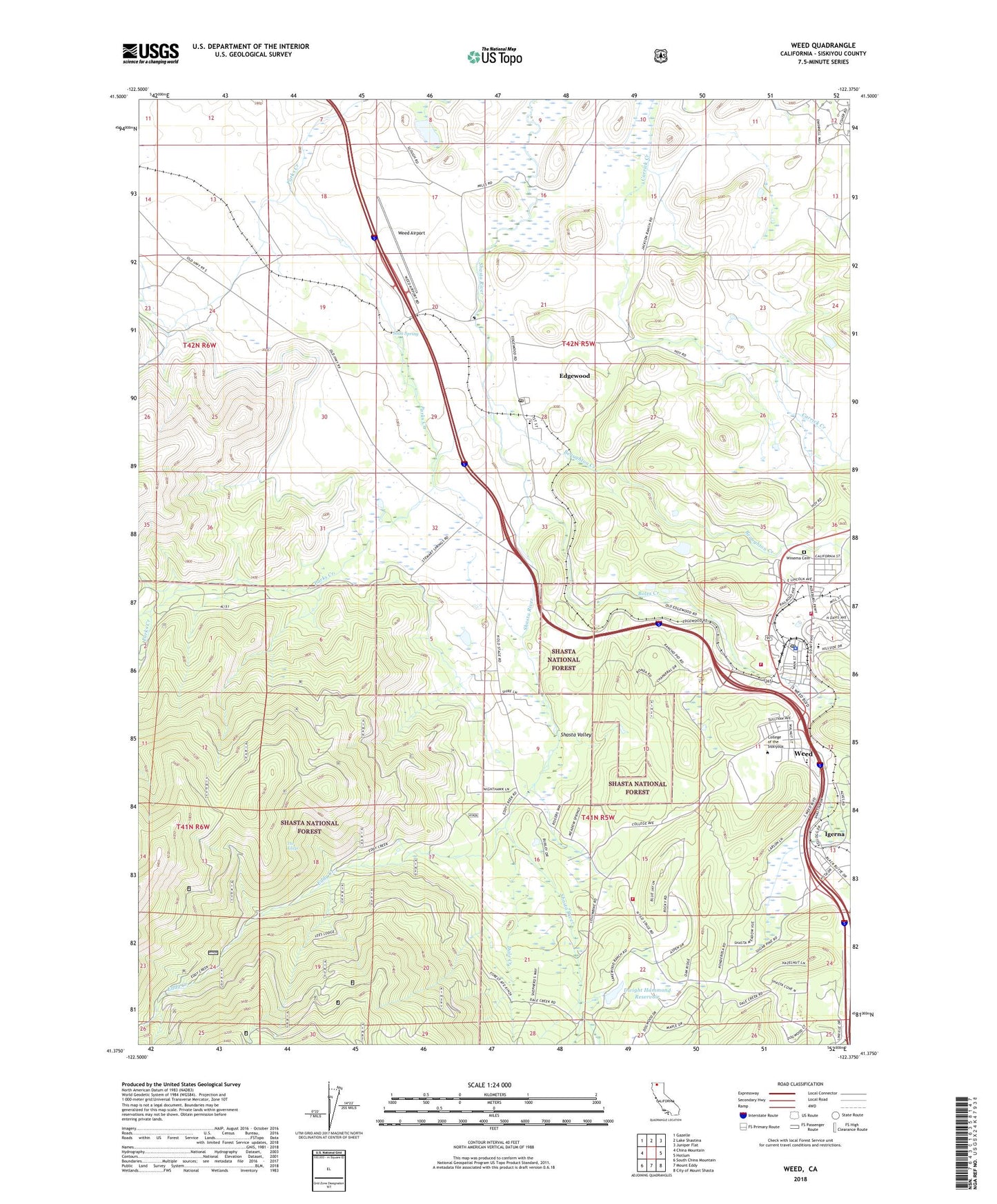
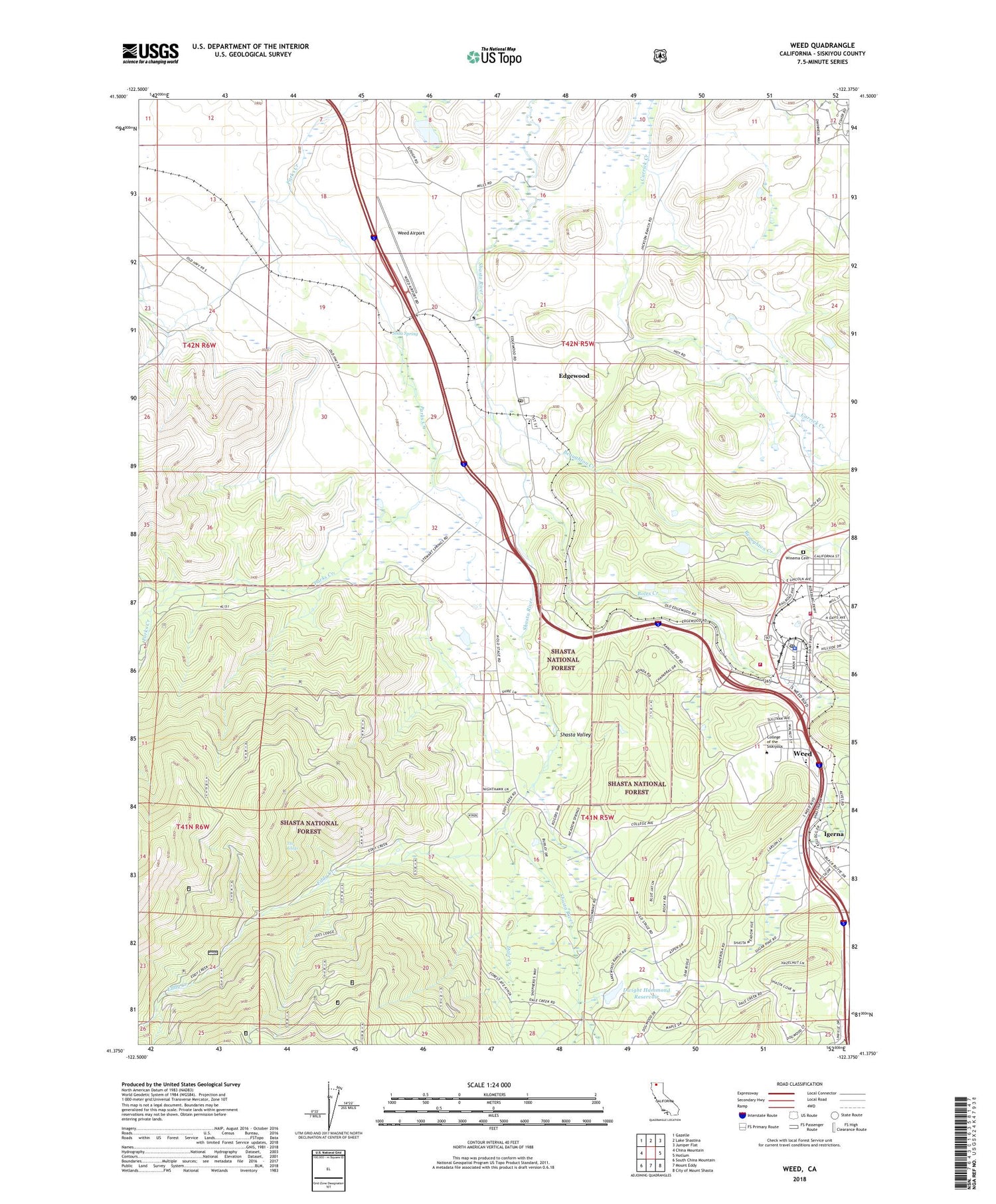
2021 topographic map quadrangle Weed in the state of California. Scale: 1:24000. Based on the newly updated USGS 7.5' US Topo map series, this map is in the following counties: Siskiyou. The map contains contour data, water features, and other items you are used to seeing on USGS maps, but also has updated roads and other features. This is the next generation of topographic maps. Printed on high-quality waterproof paper with UV fade-resistant inks.
Quads adjacent to this one:
West: China Mountain
Northwest: Gazelle
North: Lake Shastina
Northeast: Juniper Flat
East: Hotlum
Southeast: City of Mount Shasta
South: Mount Eddy
Southwest: South China Mountain
This map covers the same area as the classic USGS quad with code o41122d4.
Contains the following named places: Beaughton Creek, Bel Air Park, Boles Creek, Butteville Elementary School, California Department of Forestry and Fire Protection Weed, Cal-ore Trail Mobile Estates, Calvary Chapel, Cedar Park School, City of Weed, College of the Siskiyous, Dale Creek, Dwight Hammond 1182 Dam, Dwight Hammond Reservoir, Eddy Creek, Edgewood, Edgewood Census Designated Place, Edgewood Post Office, Hammond Ranch, Hammond Ranch Fire Company, Igerna, KWHO-FM (Weed), Lees Lodge, Lincoln Heights Cemetery, Lincoln Park, Metcalf, Mills Ranch Quarry, Soda Spring, Weed, Weed Airport, Weed City Hall, Weed City Police Department, Weed Clinic, Weed Division, Weed Elementary School, Weed Golf Club, Weed Museum, Weed Post Office, Weed Volunteer Fire Department, West Fork Parks Creek, Winema Cemetery, ZIP Code: 96094


