MyTopo
Beulah NE Colorado US Topo Map
Couldn't load pickup availability
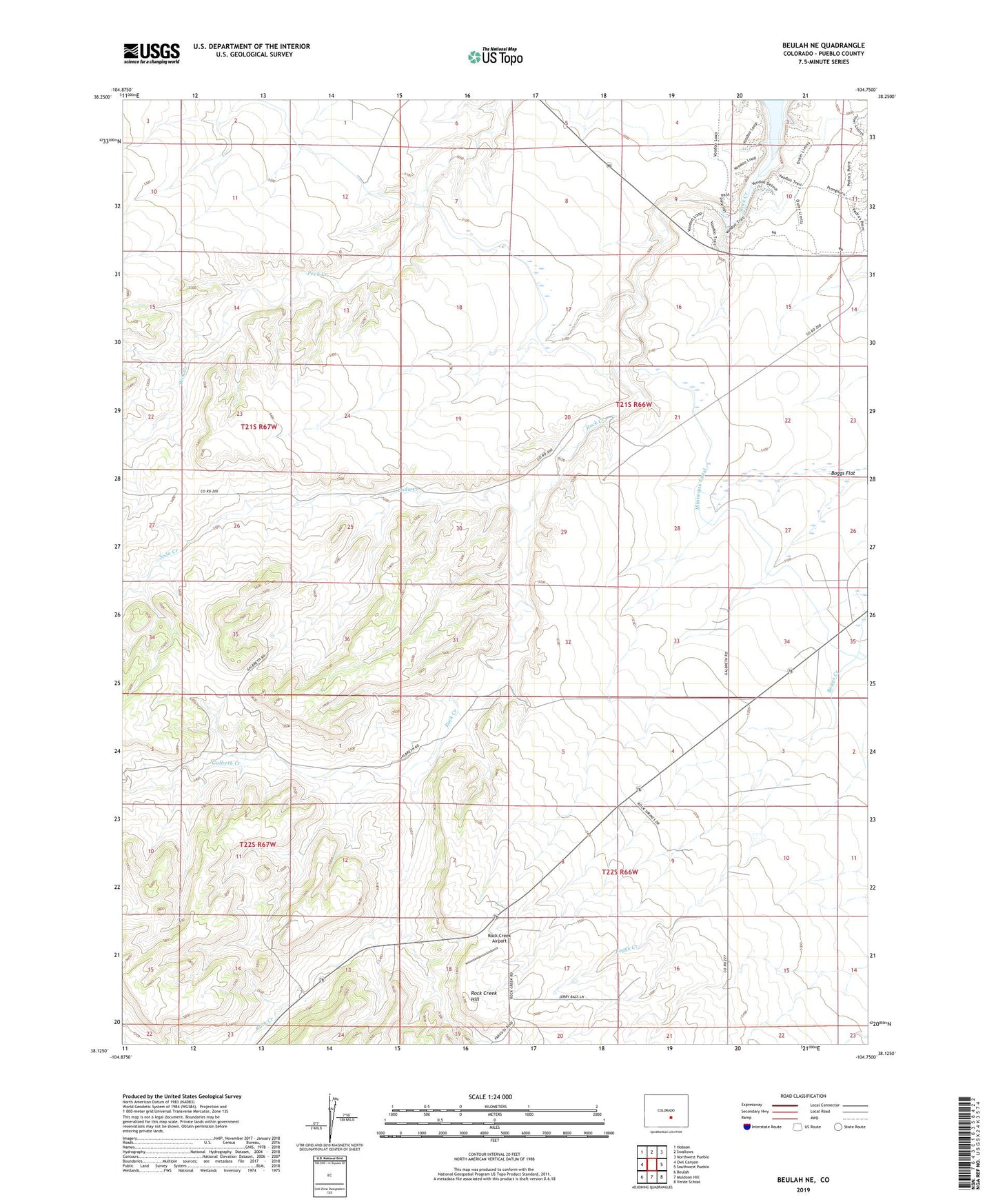
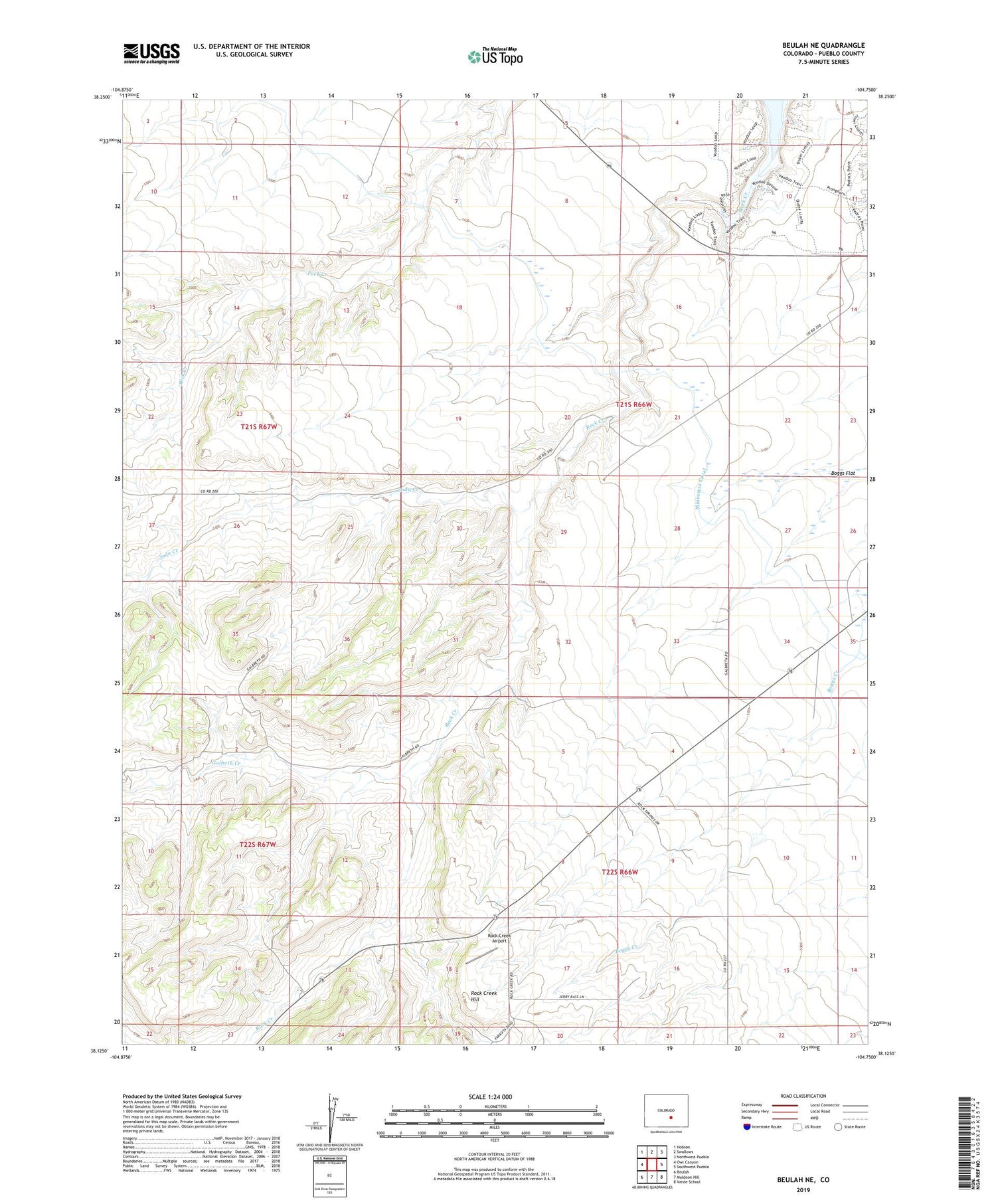
2022 topographic map quadrangle Beulah NE in the state of Colorado. Scale: 1:24000. Based on the newly updated USGS 7.5' US Topo map series, this map is in the following counties: Pueblo. The map contains contour data, water features, and other items you are used to seeing on USGS maps, but also has updated roads and other features. This is the next generation of topographic maps. Printed on high-quality waterproof paper with UV fade-resistant inks.
Quads adjacent to this one:
West: Owl Canyon
Northwest: Hobson
North: Swallows
Northeast: Northwest Pueblo
East: Southwest Pueblo
Southeast: Verde School
South: Muldoon Hill
Southwest: Beulah
This map covers the same area as the classic USGS quad with code o38104b7.
Contains the following named places: Arkansas Valley Conduit, Boggs Flat, Galbeth Creek, Pueblo Division, Rock Creek Airport, Rock Creek Hill, Soda Creek, ZIP Code: 81005