MyTopo
Verde School Colorado US Topo Map
Couldn't load pickup availability
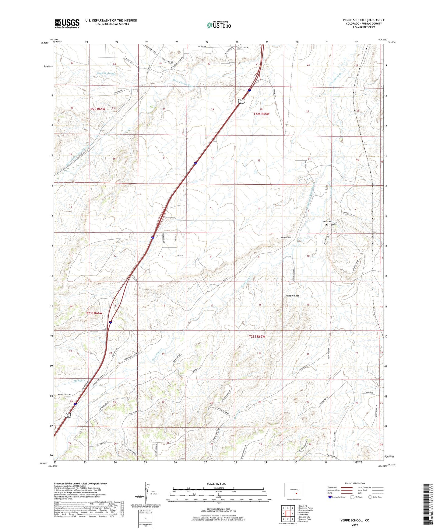
2022 topographic map quadrangle Verde School in the state of Colorado. Scale: 1:24000. Based on the newly updated USGS 7.5' US Topo map series, this map is in the following counties: Pueblo. The map contains contour data, water features, and other items you are used to seeing on USGS maps, but also has updated roads and other features. This is the next generation of topographic maps. Printed on high-quality waterproof paper with UV fade-resistant inks.
Quads adjacent to this one:
West: Muldoon Hill
Northwest: Beulah NE
North: Southwest Pueblo
Northeast: Southeast Pueblo
East: Goat Butte
Southeast: Cedarwood
South: Graneros Flats
Southwest: Colorado City
This map covers the same area as the classic USGS quad with code o38104a6.
Contains the following named places: Horse Creek, Lamb and Smith Ditch, Maggies Knob, Marnel, Muddy Creek, Saint Charles Flood Ditch, Verde Cemetery, Verde School, ZIP Code: 81004