MyTopo
Big Foundation Creek Colorado US Topo Map
Couldn't load pickup availability
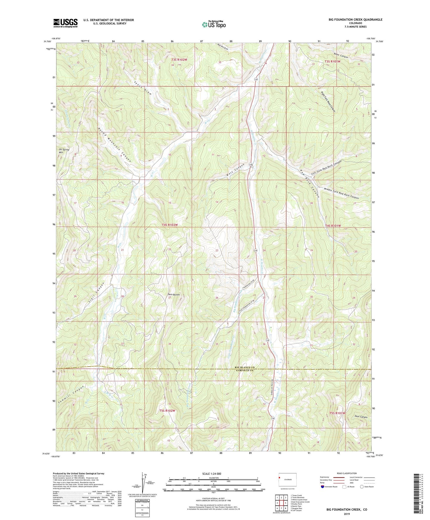
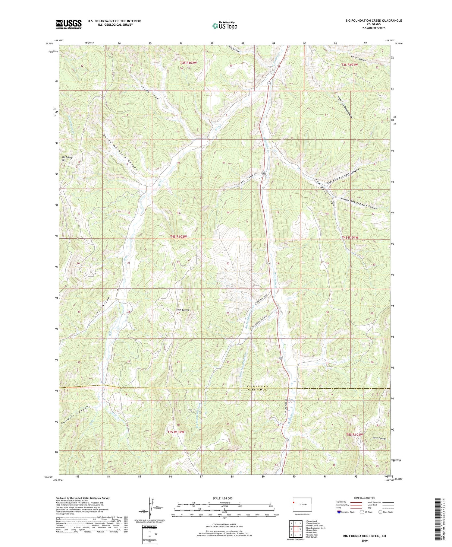
2022 topographic map quadrangle Big Foundation Creek in the state of Colorado. Scale: 1:24000. Based on the newly updated USGS 7.5' US Topo map series, this map is in the following counties: Rio Blanco, Garfield. The map contains contour data, water features, and other items you are used to seeing on USGS maps, but also has updated roads and other features. This is the next generation of topographic maps. Printed on high-quality waterproof paper with UV fade-resistant inks.
Quads adjacent to this one:
West: East Evacuation Creek
Northwest: Texas Creek
North: Texas Mountain
Northeast: White Coyote Draw
East: Brushy Point
Southeast: Calf Canyon
South: Douglas Pass
Southwest: Baxter Pass
This map covers the same area as the classic USGS quad with code o39108f7.
Contains the following named places: Big Foundation Creek, East Branch West Creek, Left Fork Red Rock Canyon, Little Foundation Creek, Mail Box Draw, Mark Number 1 Dam, Mark Reservoir Number 1, Middle Fork Red Rock Canyon, Oil Spring Mountain, Red Rock Canyon, Round Mountain Canyon, Sawmill Canyon, Texas Draw, Trail Canyon, Twin Buttes, West Creek, Wolf Canyon