MyTopo
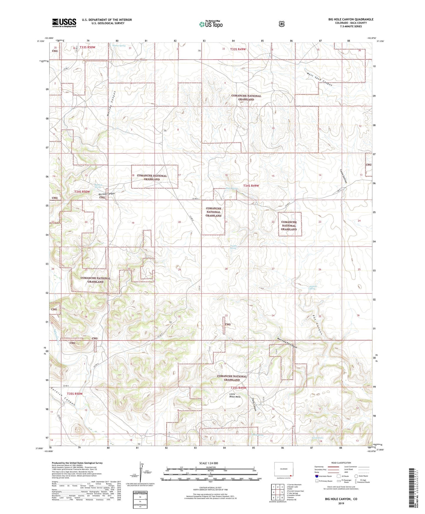
Big Hole Canyon Colorado US Topo Map
Couldn't load pickup availability
Also explore the Big Hole Canyon Forest Service Topo of this same quad for updated USFS data
2022 topographic map quadrangle Big Hole Canyon in the state of Colorado. Scale: 1:24000. Based on the newly updated USGS 7.5' US Topo map series, this map is in the following counties: Baca. The map contains contour data, water features, and other items you are used to seeing on USGS maps, but also has updated roads and other features. This is the next generation of topographic maps. Printed on high-quality waterproof paper with UV fade-resistant inks.
Quads adjacent to this one:
West: Furnish Canyon East
Northwest: Carrizo Mountain
North: Reader Lake
Northeast: Edler
East: Tubs Springs
Southeast: Kenton NE
South: Kenton
Southwest: Goodson School
This map covers the same area as the classic USGS quad with code o37102a8.
Contains the following named places: Big Hole Canyon, Big Hole Spring, Furnish Canyon, Hatfield Spring, Little Black Mesa, Major Spring, Regnar Spring, Tharp Spring, Trujilla Spring, West Fork Pat Canyon, Woods Water