MyTopo
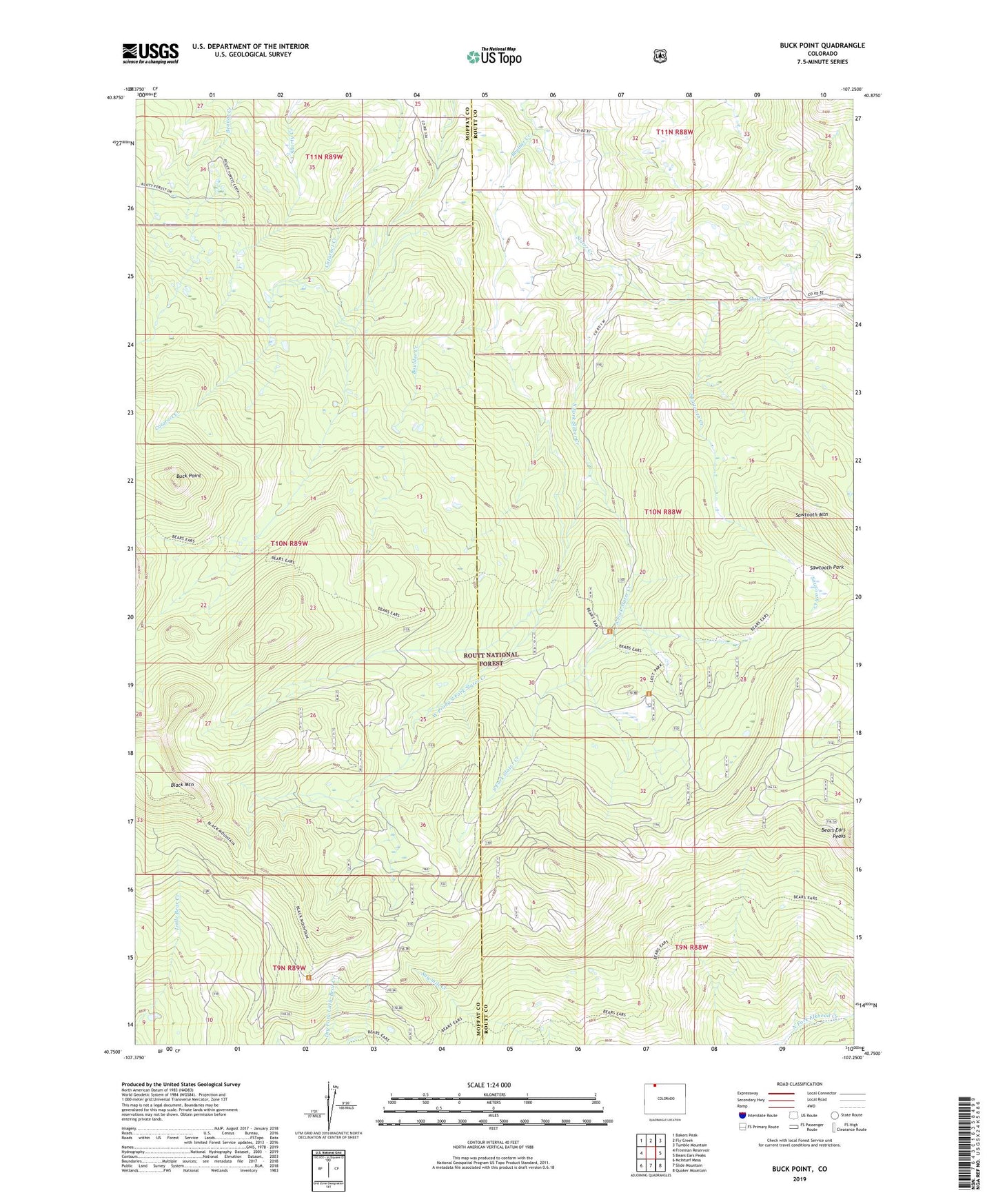
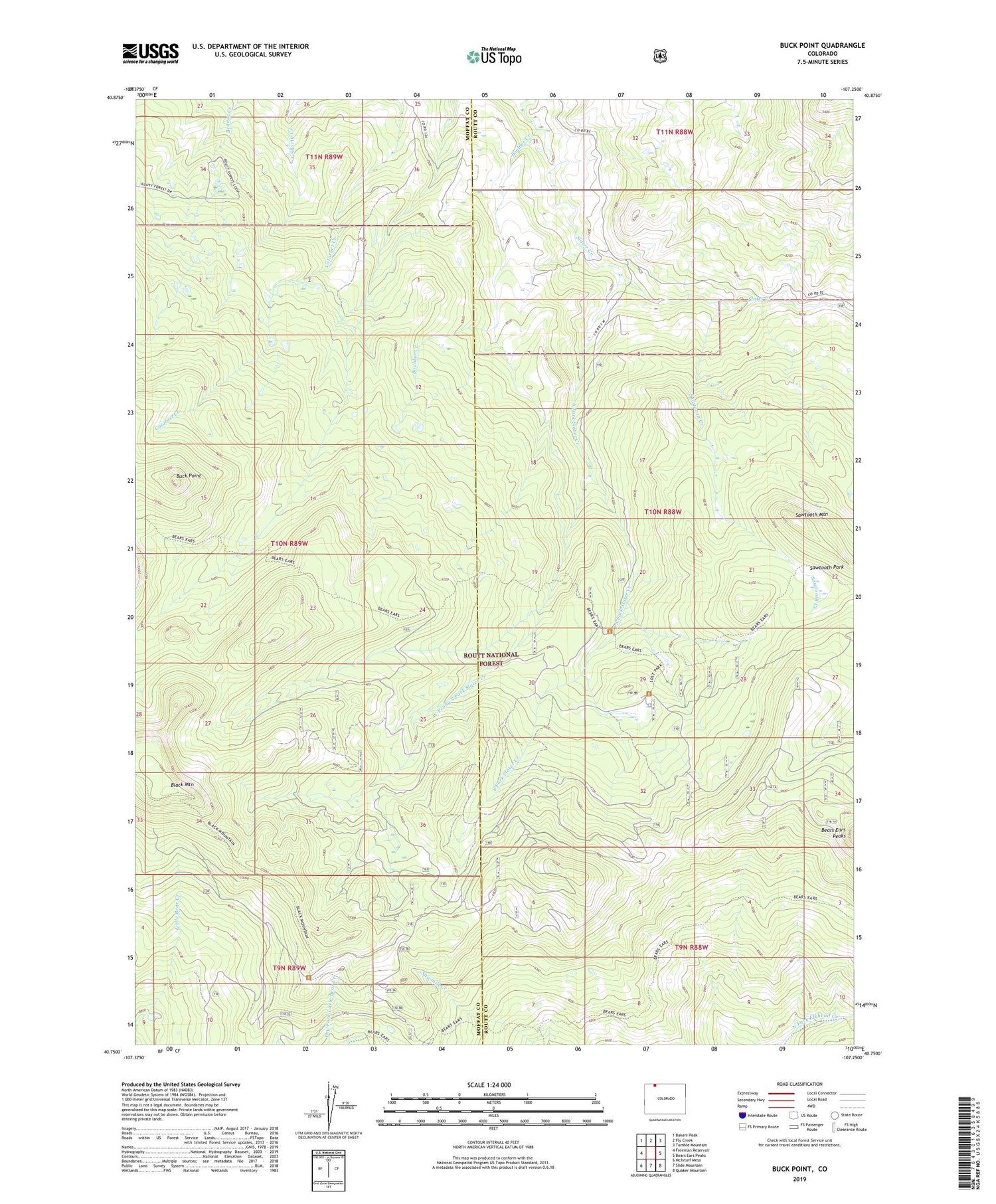
Buck Point Colorado US Topo Map
Couldn't load pickup availability
Also explore the Buck Point Forest Service Topo of this same quad for updated USFS data
2022 topographic map quadrangle Buck Point in the state of Colorado. Scale: 1:24000. Based on the newly updated USGS 7.5' US Topo map series, this map is in the following counties: Moffat, Routt. The map contains contour data, water features, and other items you are used to seeing on USGS maps, but also has updated roads and other features. This is the next generation of topographic maps. Printed on high-quality waterproof paper with UV fade-resistant inks.
Quads adjacent to this one:
West: Freeman Reservoir
Northwest: Bakers Peak
North: Fly Creek
Northeast: Tumble Mountain
East: Bears Ears Peaks
Southeast: Quaker Mountain
South: Slide Mountain
Southwest: McInturf Mesa
This map covers the same area as the classic USGS quad with code o40107g3.
Contains the following named places: Bears Ears Trail, Black Mountain, Boulder Creek, Buck Point, Lone Pine Creek, Lost Park Forest Service Facility, Sawmill Creek Campground, Sawtooth Creek, Sawtooth Mountain, Sawtooth Park, South Fork Slater Creek, West Prong South Fork Slater Creek