MyTopo
Tumble Mountain Colorado US Topo Map
Couldn't load pickup availability
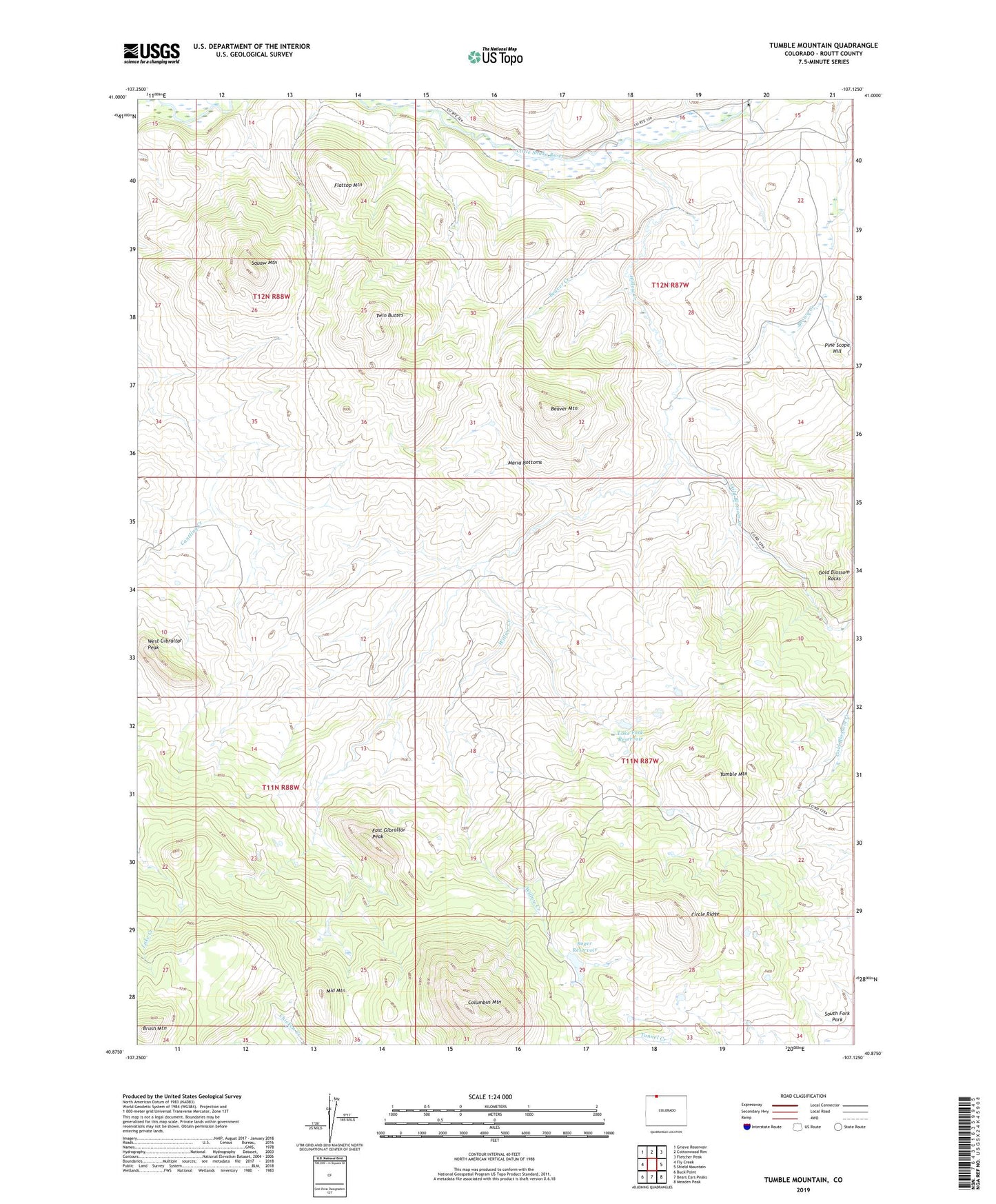
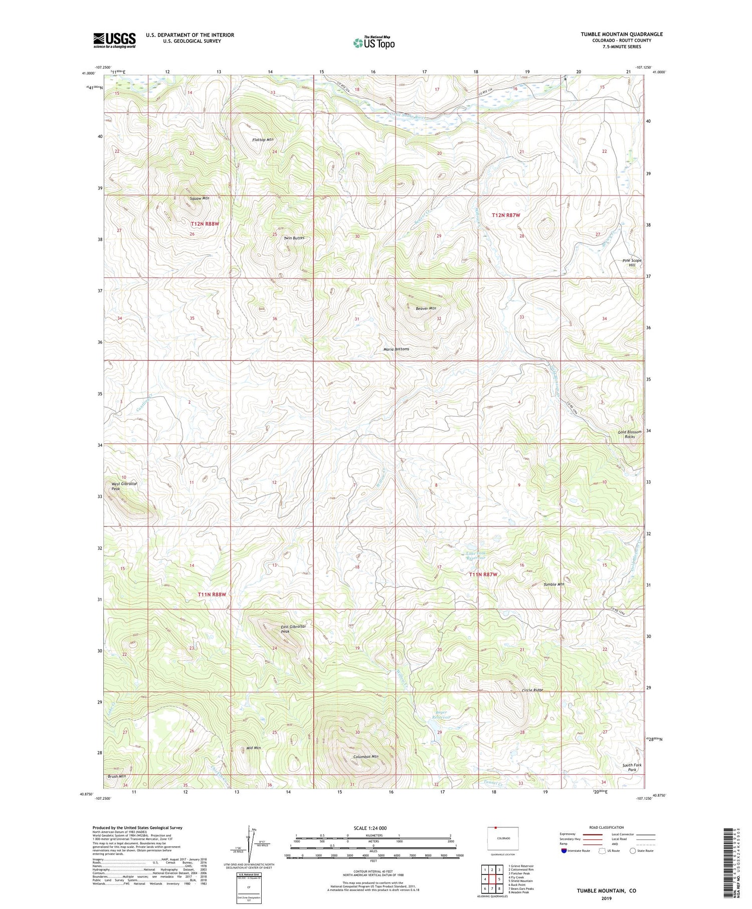
2023 topographic map quadrangle Tumble Mountain in the state of Colorado. Scale: 1:24000. Based on the newly updated USGS 7.5' US Topo map series, this map is in the following counties: Routt. The map contains contour data, water features, and other items you are used to seeing on USGS maps, but also has updated roads and other features. This is the next generation of topographic maps. Printed on high-quality waterproof paper with UV fade-resistant inks.
Quads adjacent to this one:
West: Fly Creek
Northwest: Grieve Reservoir
North: Cottonwood Rim
Northeast: Fletcher Peak
East: Shield Mountain
Southeast: Meaden Peak
South: Bears Ears Peaks
Southwest: Buck Point
This map covers the same area as the classic USGS quad with code o40107h2.
Contains the following named places: A Diamond J Ranch, Battle Creek, Beaver Creek, Beaver Mountain, Boyer Dam, Boyer Reservoir, Brown Creek, Brush Mountain, Cantling Creek, Circle Ridge, Columbus Mountain, East Gibraltar Peak, Flattop Mountain, Focus Ranch, Gold Blossom Creek, Gold Blossom Rocks, Lake Fork Dam, Lake Fork Reservoir, Maria Bottoms, Middle Mountain, Pine Scope Hill, Squaw Mountain, Tumble Mountain, Twin Buttes, West Gibraltar Peak, Willow Creek, ZIP Code: 81653