MyTopo
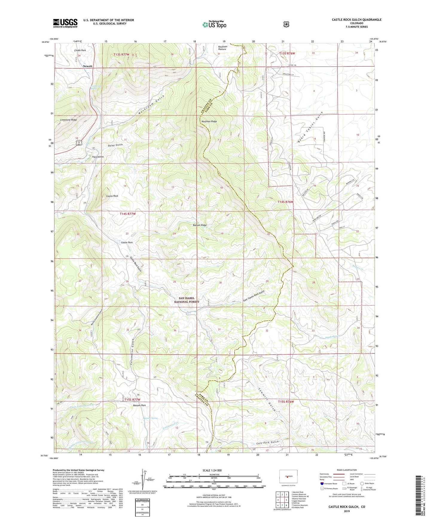
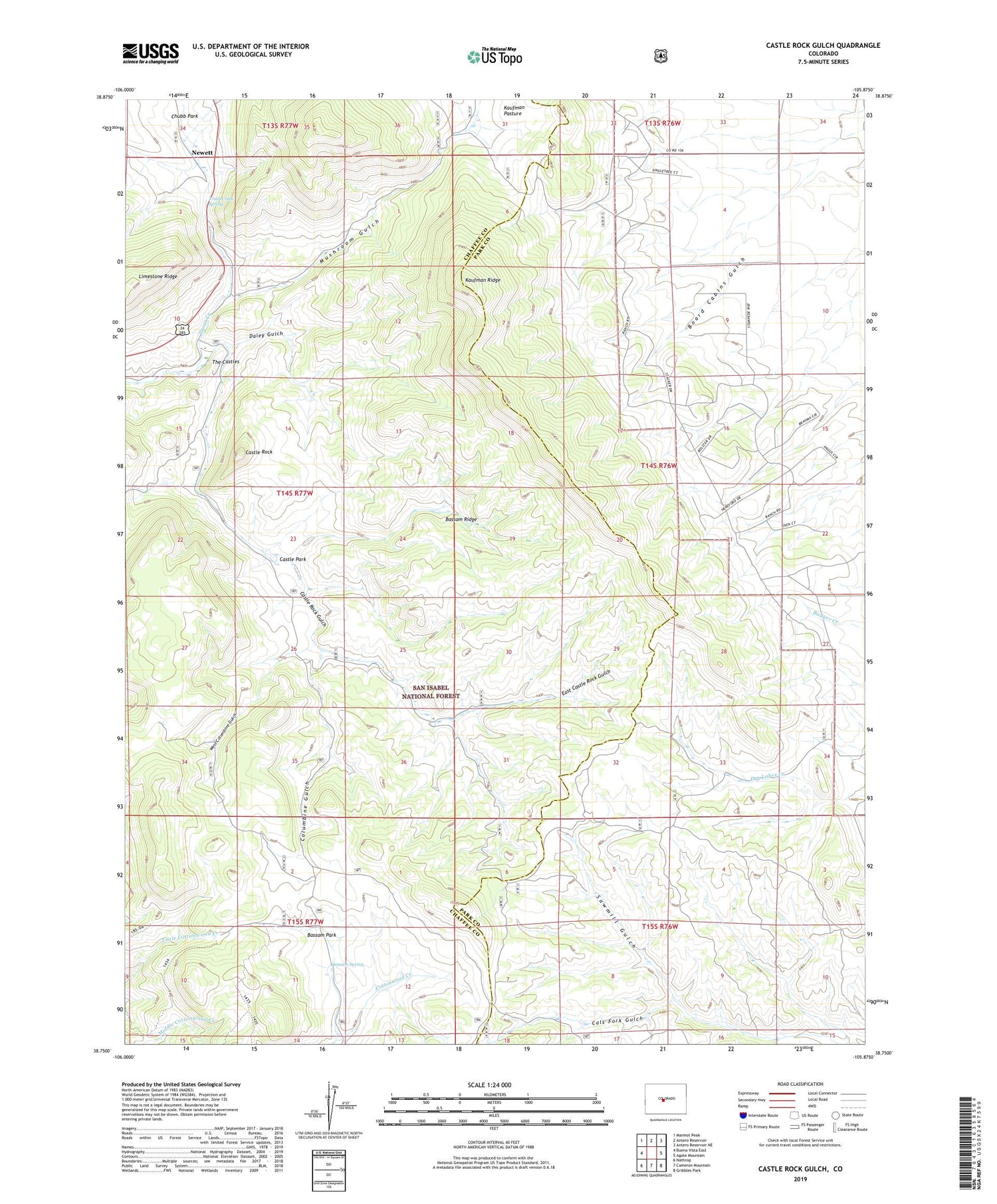
Castle Rock Gulch Colorado US Topo Map
Couldn't load pickup availability
Also explore the Castle Rock Gulch Forest Service Topo of this same quad for updated USFS data
2022 topographic map quadrangle Castle Rock Gulch in the state of Colorado. Scale: 1:24000. Based on the newly updated USGS 7.5' US Topo map series, this map is in the following counties: Chaffee, Park. The map contains contour data, water features, and other items you are used to seeing on USGS maps, but also has updated roads and other features. This is the next generation of topographic maps. Printed on high-quality waterproof paper with UV fade-resistant inks.
Quads adjacent to this one:
West: Buena Vista East
Northwest: Marmot Peak
North: Antero Reservoir
Northeast: Antero Reservoir NE
East: Agate Mountain
Southeast: Gribbles Park
South: Cameron Mountain
Southwest: Nathrop
This map covers the same area as the classic USGS quad with code o38105g8.
Contains the following named places: Bassam Park, Bassam Ridge, Bassam Spring, Black Dumps, Board Cabins, Board Cabins Gulch, Castle Park, Castle Rock, Castle Rock Gulch, Chubb Park, Columbine Gulch, Cooper Homestead, Daley Gulch, East Castle Rock Gulch, Green Whiskers Windmill, Kaufman Pasture, Kaufman Ridge, Lucky Jack Mine, Mushroom Gulch, Newett, Newett Quarries, Sawmill Gulch, The Castles, Trout Creek Mine View Number 2 Mine, Trout Creek Spring, West Columbine Gulch, Wilmot Ranch