MyTopo
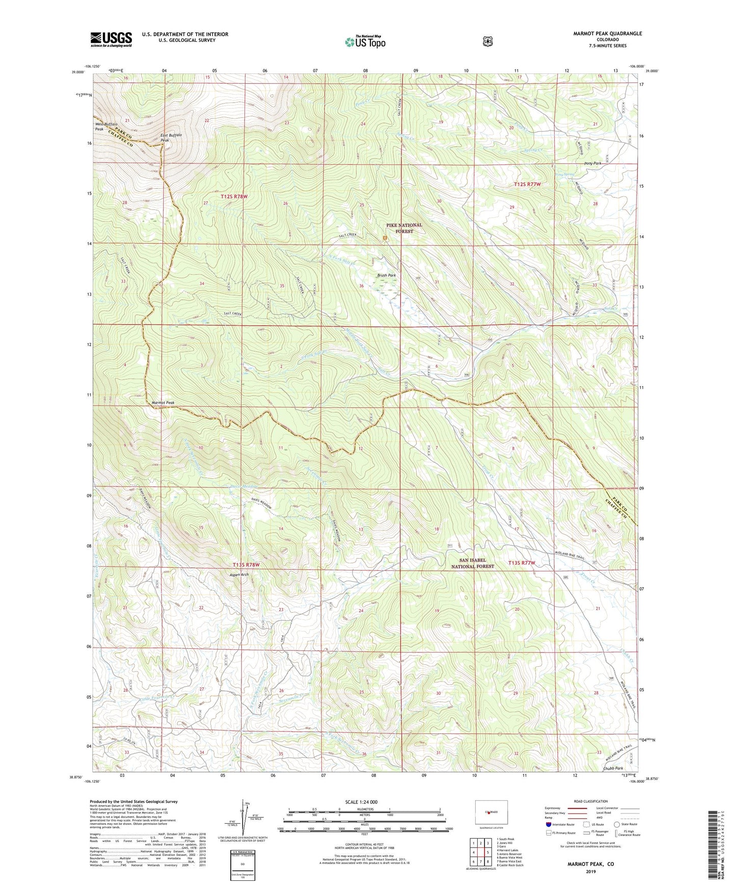
Marmot Peak Colorado US Topo Map
Couldn't load pickup availability
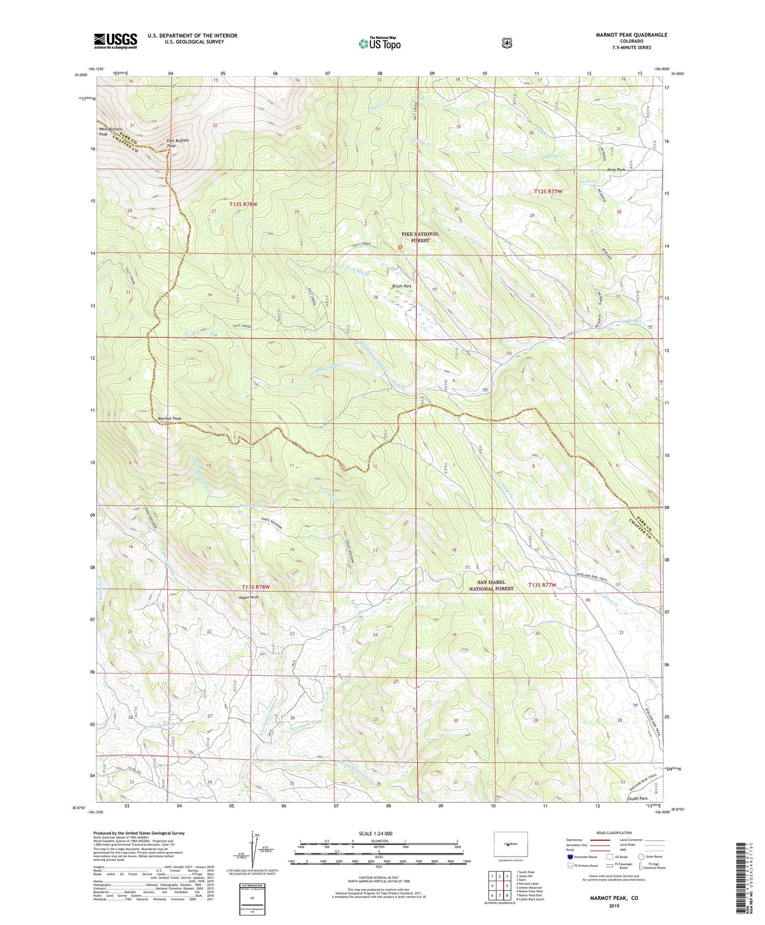
Also explore the Marmot Peak Forest Service Topo of this same quad for updated USFS data
2022 topographic map quadrangle Marmot Peak in the state of Colorado. Scale: 1:24000. Based on the newly updated USGS 7.5' US Topo map series, this map is in the following counties: Chaffee, Park. The map contains contour data, water features, and other items you are used to seeing on USGS maps, but also has updated roads and other features. This is the next generation of topographic maps. Printed on high-quality waterproof paper with UV fade-resistant inks.
Quads adjacent to this one:
West: Harvard Lakes
Northwest: South Peak
North: Jones Hill
Northeast: Garo
East: Antero Reservoir
Southeast: Castle Rock Gulch
South: Buena Vista East
Southwest: Buena Vista West
This map covers the same area as the classic USGS quad with code o38106h1.
Contains the following named places: Aspen Arch, Brush Park, Buffalo Peaks, Davis Meadow, East Buffalo Peak, Goddard Ranch, Little Fourmile Creek, Marmot Peak, Middle Fork Salt Creek, North Fork Salt Creek, North Fork Sevenmile Creek, Pony Park, Pony Spring, South Fork Salt Creek, South Fork Sevenmile Creek, West Buffalo Peak