MyTopo
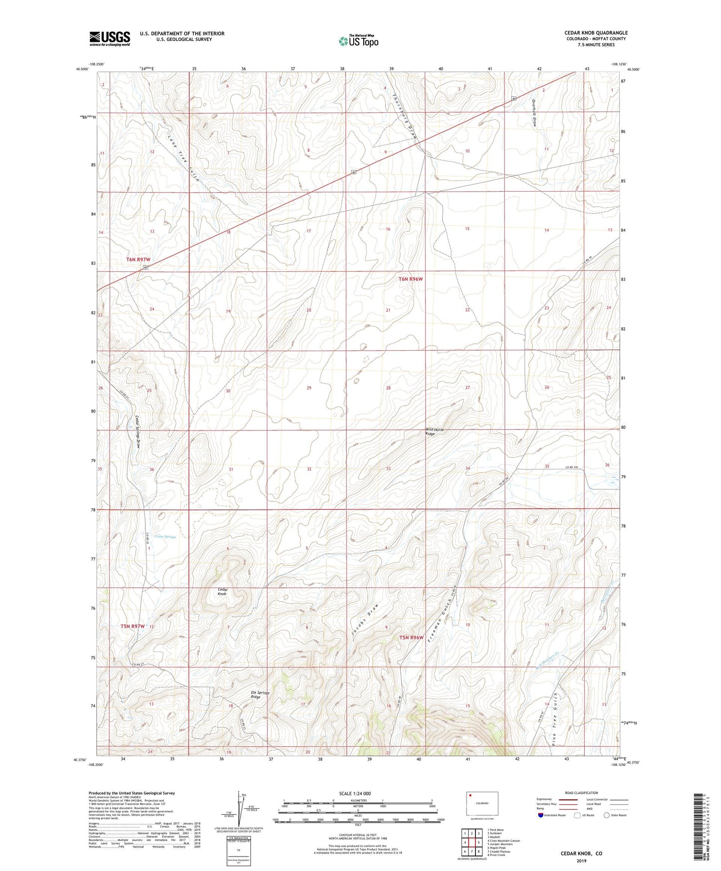
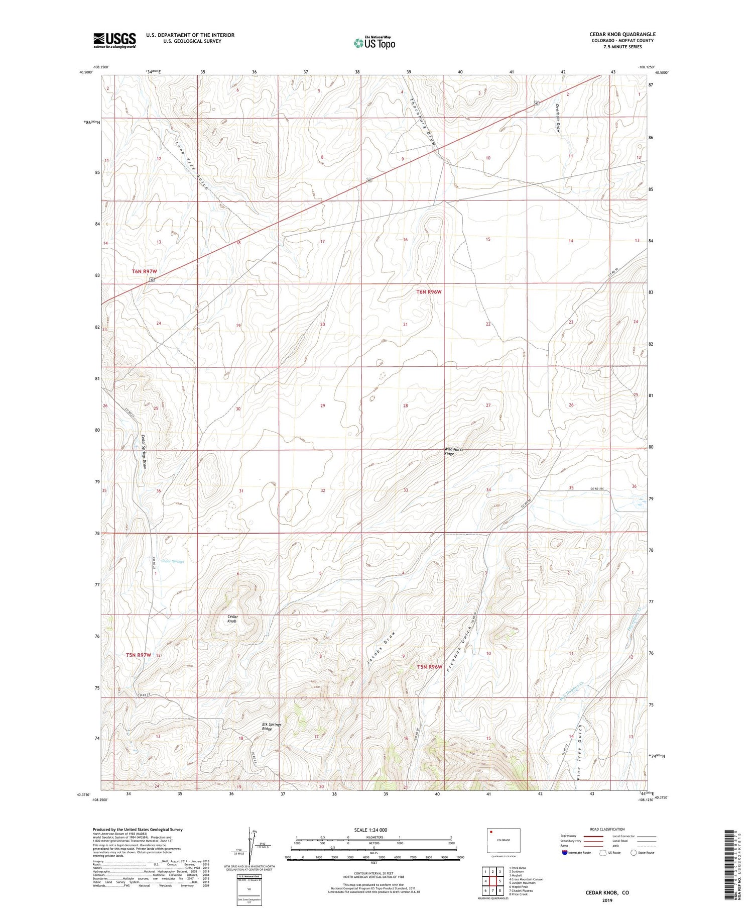
Cedar Knob Colorado US Topo Map
Couldn't load pickup availability
2022 topographic map quadrangle Cedar Knob in the state of Colorado. Scale: 1:24000. Based on the newly updated USGS 7.5' US Topo map series, this map is in the following counties: Moffat. The map contains contour data, water features, and other items you are used to seeing on USGS maps, but also has updated roads and other features. This is the next generation of topographic maps. Printed on high-quality waterproof paper with UV fade-resistant inks.
Quads adjacent to this one:
West: Cross Mountain Canyon
Northwest: Peck Mesa
North: Sunbeam
Northeast: Maybell
East: Juniper Mountain
Southeast: Price Creek
South: Citadel Plateau
Southwest: Wapiti Peak
This map covers the same area as the classic USGS quad with code o40108d2.
Contains the following named places: Bob Hughes Creek, Cedar Knob, Cedar Springs, Freeman Gulch, Jacobs Draw, Pine Tree Gulch, September Morn Claims, Wild Horse Ridge