MyTopo
Maybell Colorado US Topo Map
Couldn't load pickup availability
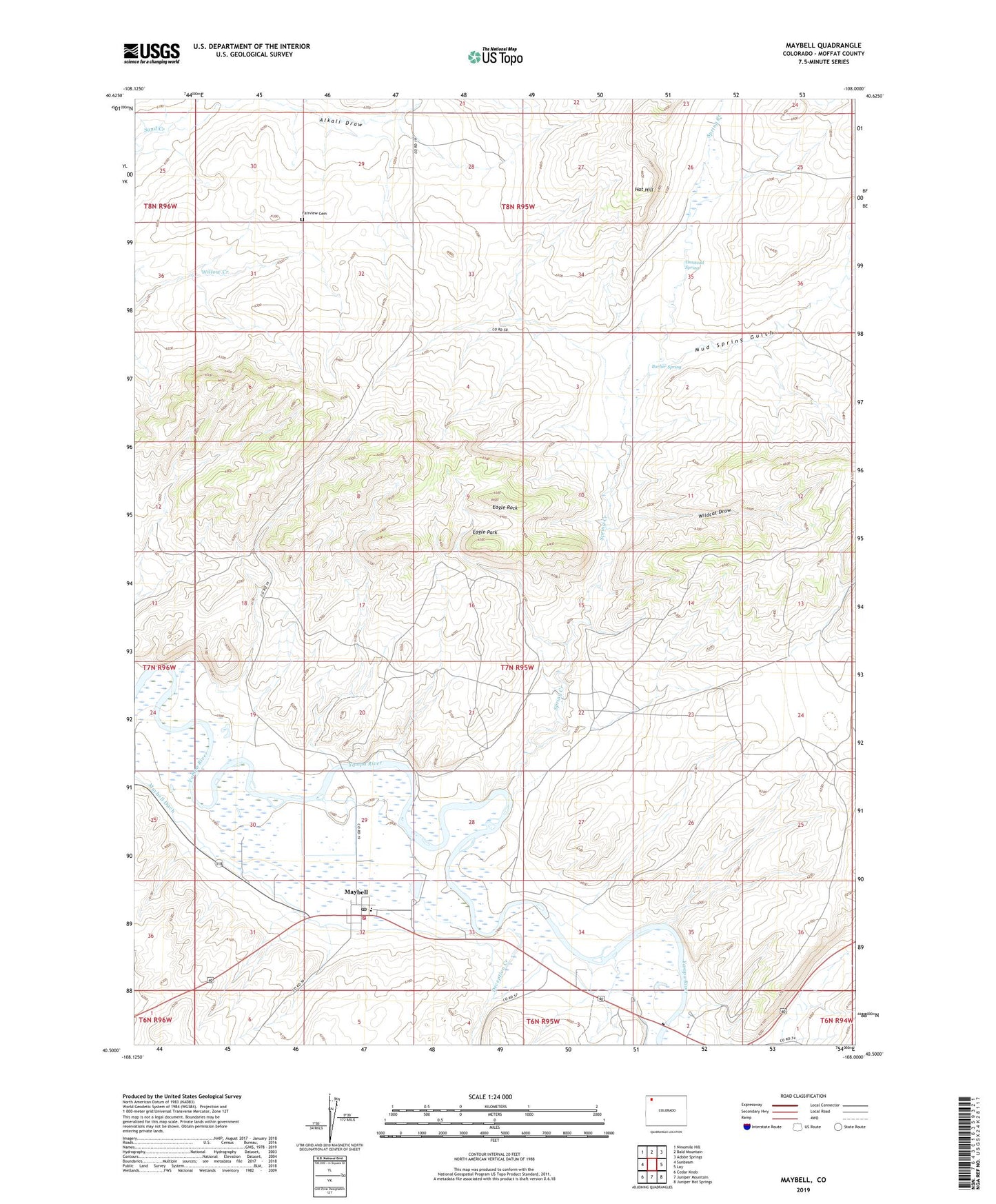
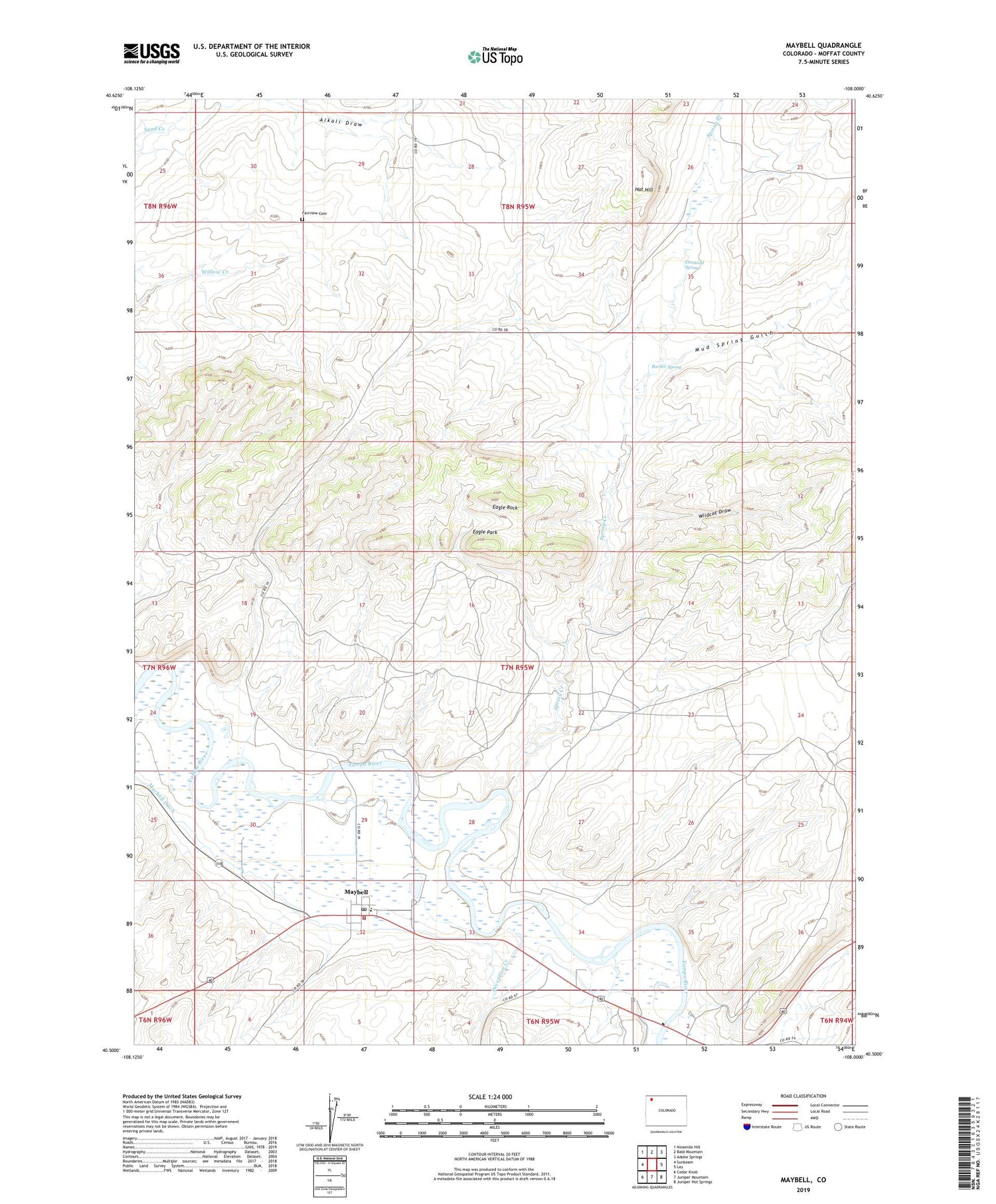
2022 topographic map quadrangle Maybell in the state of Colorado. Scale: 1:24000. Based on the newly updated USGS 7.5' US Topo map series, this map is in the following counties: Moffat. The map contains contour data, water features, and other items you are used to seeing on USGS maps, but also has updated roads and other features. This is the next generation of topographic maps. Printed on high-quality waterproof paper with UV fade-resistant inks.
Quads adjacent to this one:
West: Sunbeam
Northwest: Ninemile Hill
North: Bald Mountain
Northeast: Adobe Springs
East: Lay
Southeast: Juniper Hot Springs
South: Juniper Mountain
Southwest: Cedar Knob
This map covers the same area as the classic USGS quad with code o40108e1.
Contains the following named places: Alkali Draw, Barber Spring, Deception Creek, Eagle Park, Eagle Rock, Fairview Cemetery, Hat Hill, Hudson Claim Group Mine, Lucky Claim, Maybell, Maybell Census Designated Place, Maybell Pit, Maybell Post Office, Maybell Volunteer Fire Department, Mud Spring Gulch, Omstead Spring, Spring Creek, Trevenen Claims, Wildcat Draw