MyTopo
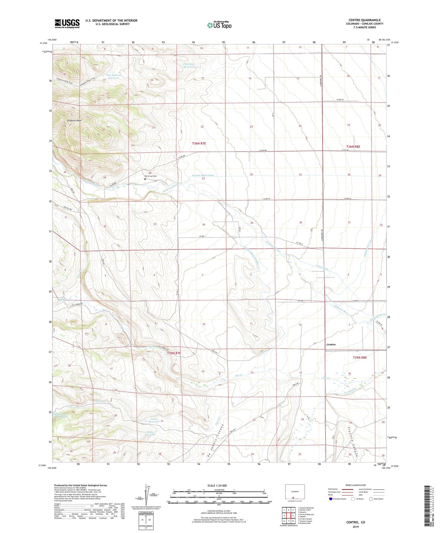
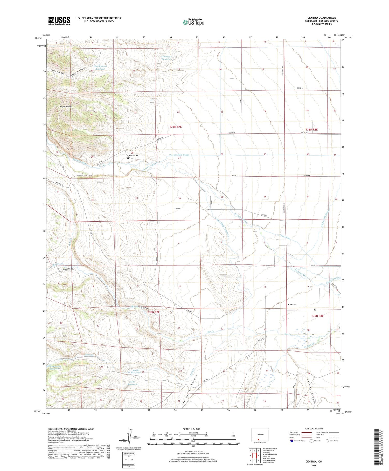
Centro Colorado US Topo Map
Couldn't load pickup availability
Also explore the Centro Forest Service Topo of this same quad for updated USFS data
2022 topographic map quadrangle Centro in the state of Colorado. Scale: 1:24000. Based on the newly updated USGS 7.5' US Topo map series, this map is in the following counties: Conejos. The map contains contour data, water features, and other items you are used to seeing on USGS maps, but also has updated roads and other features. This is the next generation of topographic maps. Printed on high-quality waterproof paper with UV fade-resistant inks.
Quads adjacent to this one:
West: Terrace Reservoir
Northwest: Greenie Mountain
North: Fulcher Gulch
Northeast: Waverly
East: Capulin
Southeast: Goshawk Dam
South: Vicente Canyon
Southwest: La Jara Canyon
This map covers the same area as the classic USGS quad with code o37106c2.
Contains the following named places: Alamosa Creek Canal, Centro, Chipmunk Reservoir, Chiquito Peak, De la Luz Cemetery, Dodo Reservoir, Gallegos Ditch 1, Hot Creek, Ojito Creek, Pine Squirrel Reservoir, Poso Creek, Ra Jadero Canyon, Terrace Main Canal, Trujillo Canyon, Valdez Ditch Number 5, Wren Reservoir, ZIP Code: 81124