MyTopo
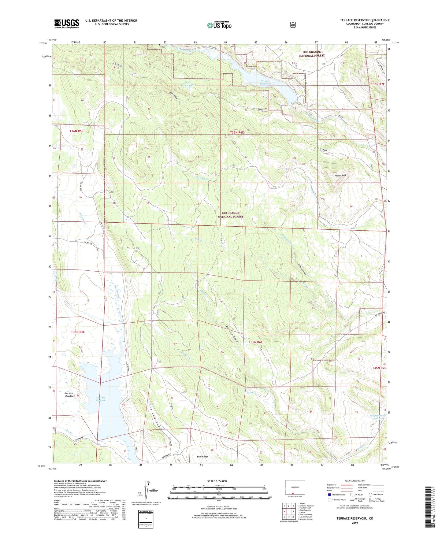
Terrace Reservoir Colorado US Topo Map
Couldn't load pickup availability
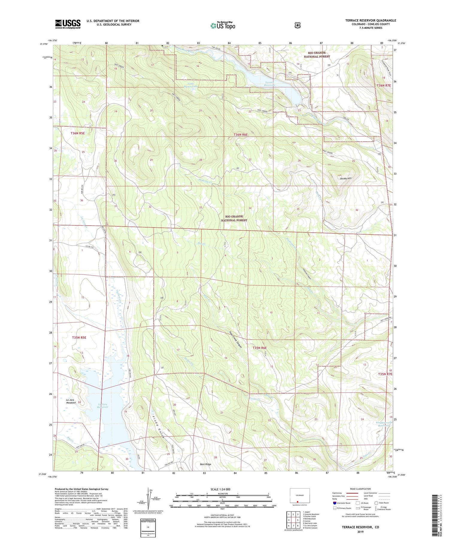
Also explore the Terrace Reservoir Forest Service Topo of this same quad for updated USFS data
2022 topographic map quadrangle Terrace Reservoir in the state of Colorado. Scale: 1:24000. Based on the newly updated USGS 7.5' US Topo map series, this map is in the following counties: Conejos. The map contains contour data, water features, and other items you are used to seeing on USGS maps, but also has updated roads and other features. This is the next generation of topographic maps. Printed on high-quality waterproof paper with UV fade-resistant inks.
Quads adjacent to this one:
West: Red Mountain
Northwest: Jasper
North: Greenie Mountain
Northeast: Fulcher Gulch
East: Centro
Southeast: Vicente Canyon
South: La Jara Canyon
Southwest: Spectacle Lake
This map covers the same area as the classic USGS quad with code o37106c3.
Contains the following named places: Bald Ridge, Baxter and Martin Cow Camp, Jacobs Hill, Jim Creek, La Jara Reservoir, Little Brown Lake, Piedrosa Canyon, Piedrosa Creek, Posito Creek, Poso Creek Canyon, Shawcroft Cow Camp, Terrace Dam, Terrace Reservoir, Torsido Creek, Whippoorwill Reservoir