MyTopo
Dennis Canyon Colorado US Topo Map
Couldn't load pickup availability
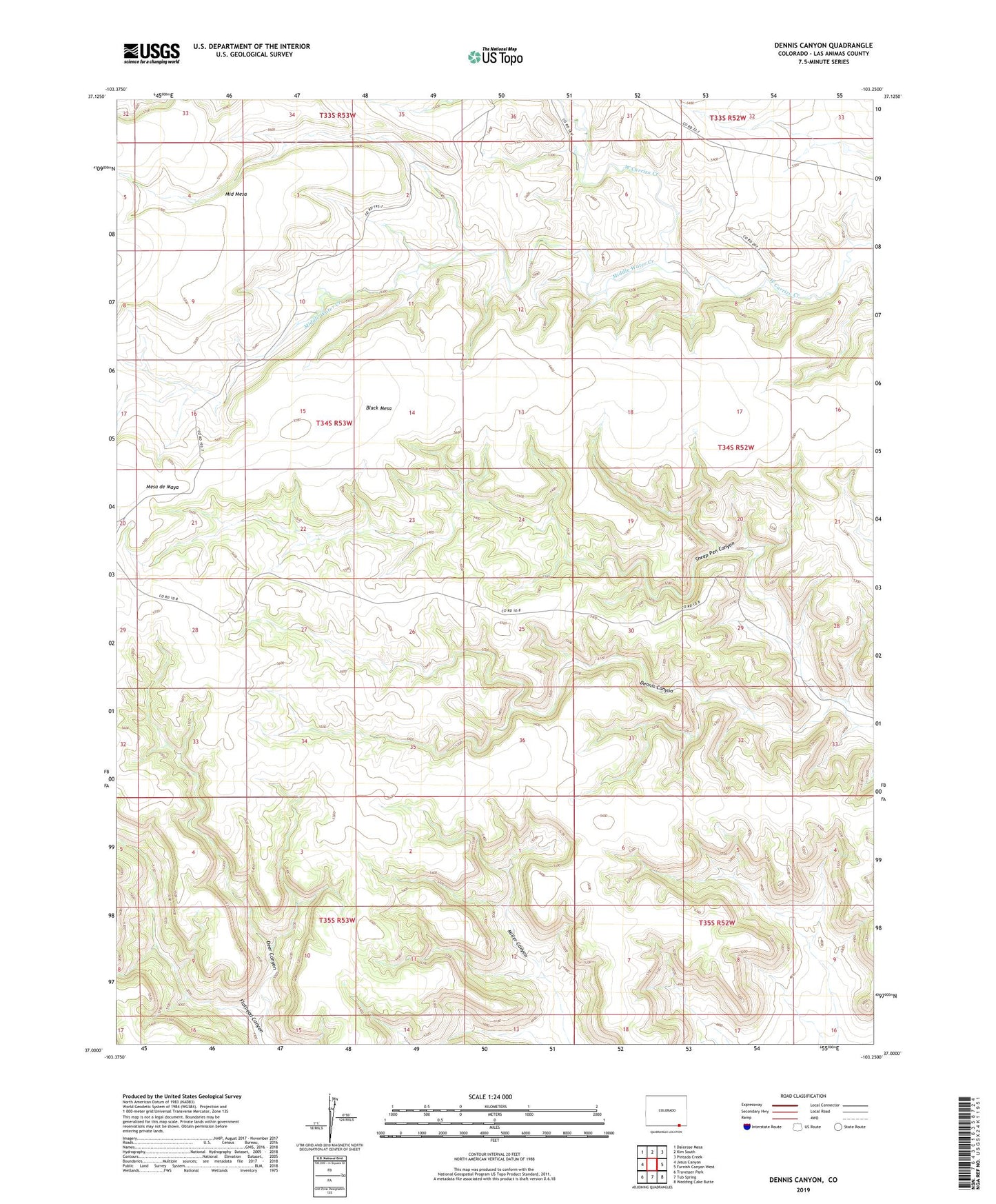
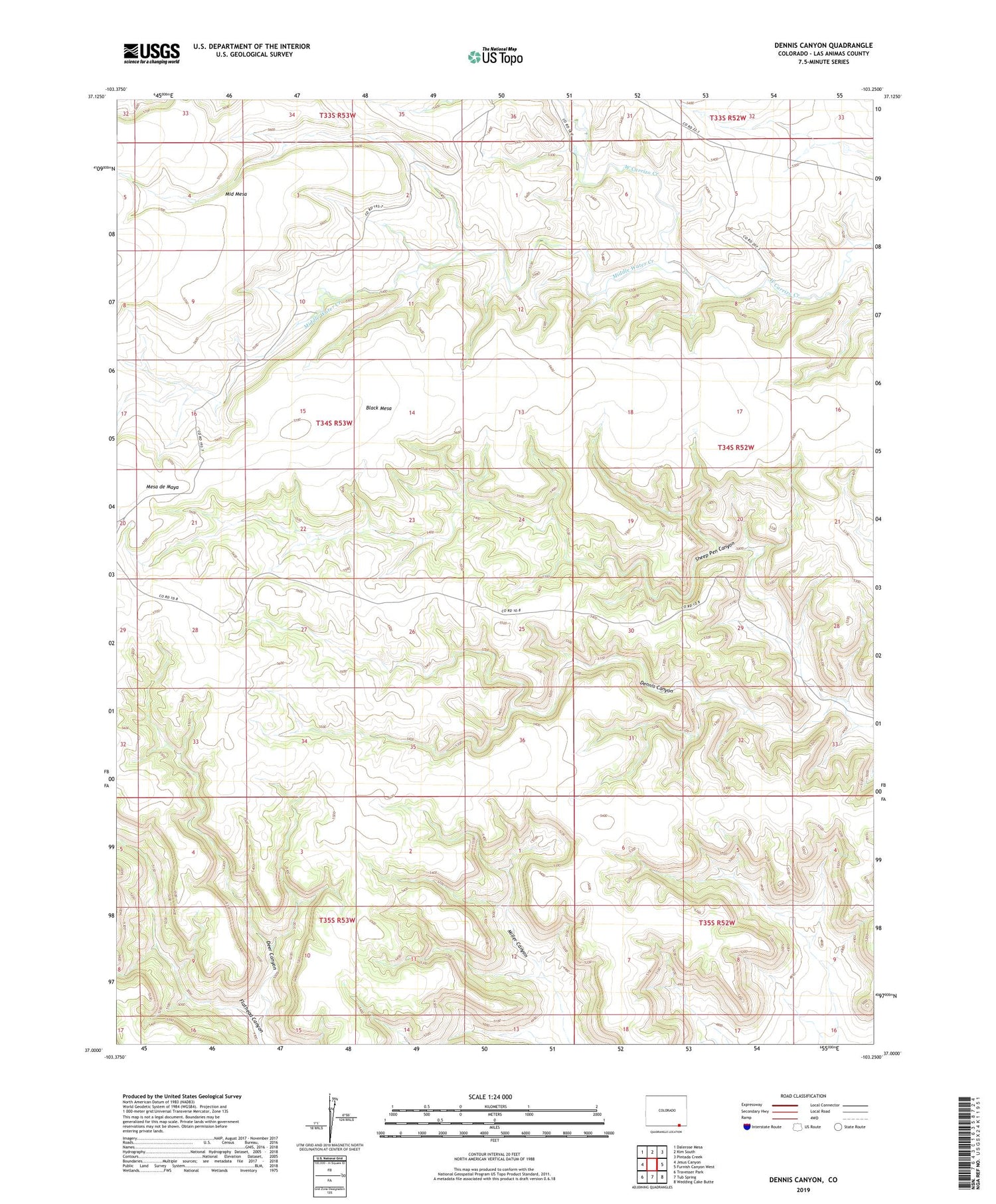
2022 topographic map quadrangle Dennis Canyon in the state of Colorado. Scale: 1:24000. Based on the newly updated USGS 7.5' US Topo map series, this map is in the following counties: Las Animas. The map contains contour data, water features, and other items you are used to seeing on USGS maps, but also has updated roads and other features. This is the next generation of topographic maps. Printed on high-quality waterproof paper with UV fade-resistant inks.
Quads adjacent to this one:
West: Jesus Canyon
Northwest: Dalerose Mesa
North: Kim South
Northeast: Pintada Creek
East: Furnish Canyon West
Southeast: Wedding Cake Butte
South: Tub Spring
Southwest: Travesser Park
This map covers the same area as the classic USGS quad with code o37103a3.
Contains the following named places: Black Mesa, Deer Canyon, Dennis Canyon, Middle Water Creek