MyTopo
Furnish Canyon West Colorado US Topo Map
Couldn't load pickup availability
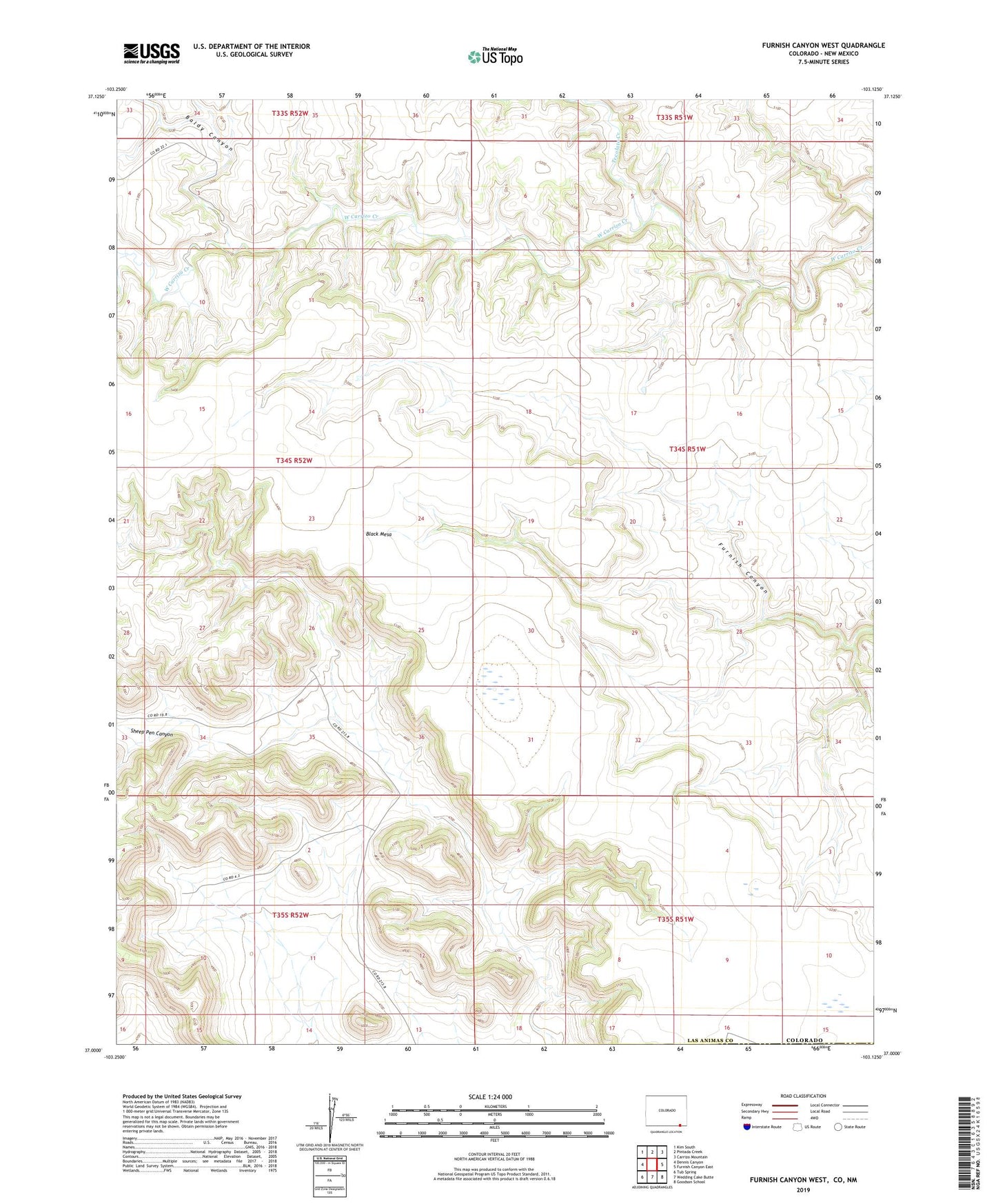
2022 topographic map quadrangle Furnish Canyon West in the state of Colorado. Scale: 1:24000. Based on the newly updated USGS 7.5' US Topo map series, this map is in the following counties: Las Animas, Union. The map contains contour data, water features, and other items you are used to seeing on USGS maps, but also has updated roads and other features. This is the next generation of topographic maps. Printed on high-quality waterproof paper with UV fade-resistant inks.
Quads adjacent to this one:
West: Dennis Canyon
Northwest: Kim South
North: Pintada Creek
Northeast: Carrizo Mountain
East: Furnish Canyon East
Southeast: Goodson School
South: Wedding Cake Butte
Southwest: Tub Spring
Contains the following named places: Baldy Canyon, Tecolate Creek, Tecolote Creek