MyTopo
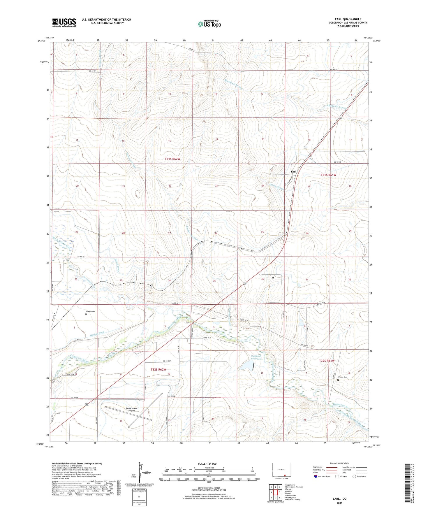
Earl Colorado US Topo Map
Couldn't load pickup availability
2022 topographic map quadrangle Earl in the state of Colorado. Scale: 1:24000. Based on the newly updated USGS 7.5' US Topo map series, this map is in the following counties: Las Animas. The map contains contour data, water features, and other items you are used to seeing on USGS maps, but also has updated roads and other features. This is the next generation of topographic maps. Printed on high-quality waterproof paper with UV fade-resistant inks.
Quads adjacent to this one:
West: Hoehne
Northwest: Vega Corral
North: Seven Lakes Reservoir
Northeast: Tyrone
East: Model
Southeast: Patterson Crossing
South: Mooney Hills
Southwest: Trinidad East
This map covers the same area as the classic USGS quad with code o37104c3.
Contains the following named places: Armenta Ditch, Black Hills Arroyo, Bloom Cemetery, Burns and Duncan Ditch Number 10, Chicosa Arroyo, Earl, Furness Arroyo, Gagliardi Dam, Gagliardi Reservoir, Model Ditch, Perry Stokes Airport, Trinidad Correctional Facility, Wilcox Cemetery