
MyTopo
Fowler Colorado US Topo Map
Couldn't load pickup availability
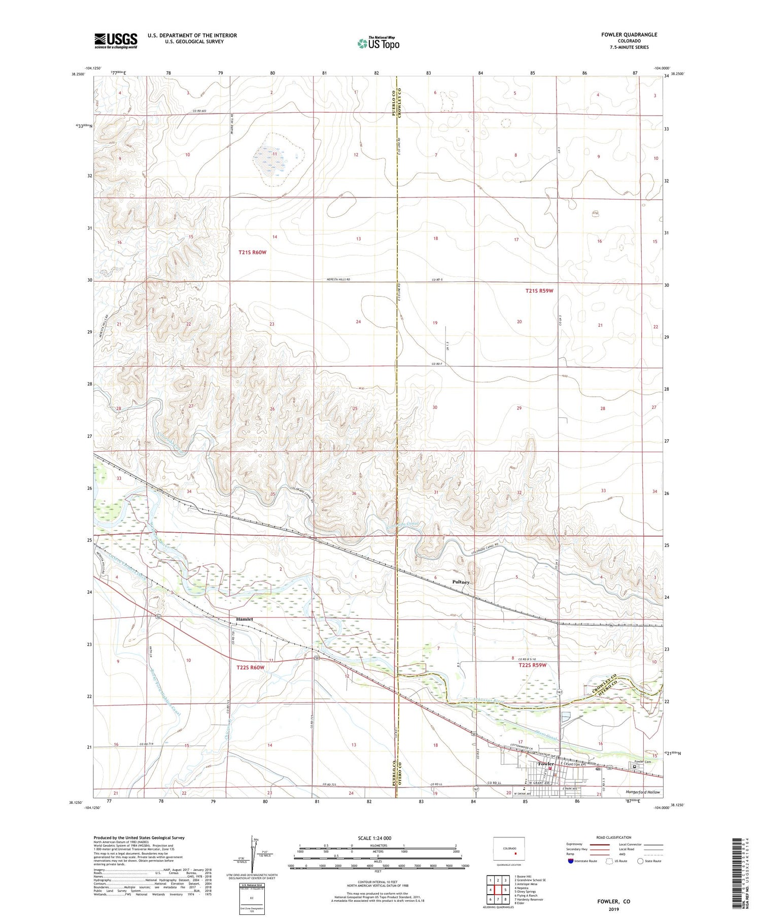
2022 topographic map quadrangle Fowler in the state of Colorado. Scale: 1:24000. Based on the newly updated USGS 7.5' US Topo map series, this map is in the following counties: Pueblo, Crowley, Otero. The map contains contour data, water features, and other items you are used to seeing on USGS maps, but also has updated roads and other features. This is the next generation of topographic maps. Printed on high-quality waterproof paper with UV fade-resistant inks.
Quads adjacent to this one:
West: Nepesta
Northwest: Boone Hill
North: Grandview School SE
Northeast: Antelope Mesa
East: Olney Springs
Southeast: Elder
South: Hardesty Reservoir
Southwest: Flying A Ranch
This map covers the same area as the classic USGS quad with code o38104b1.
Contains the following named places: Chicosa Creek, Colorado Canal, Cottonwood Links Golf Course, Fowler, Fowler Cemetery, Fowler Police Department, Fowler Post Office, Fowler Volunteer Fire Department, Hamlet, Oxford Farmers Ditch, Pultney, Town of Fowler


