MyTopo
Nepesta Colorado US Topo Map
Couldn't load pickup availability
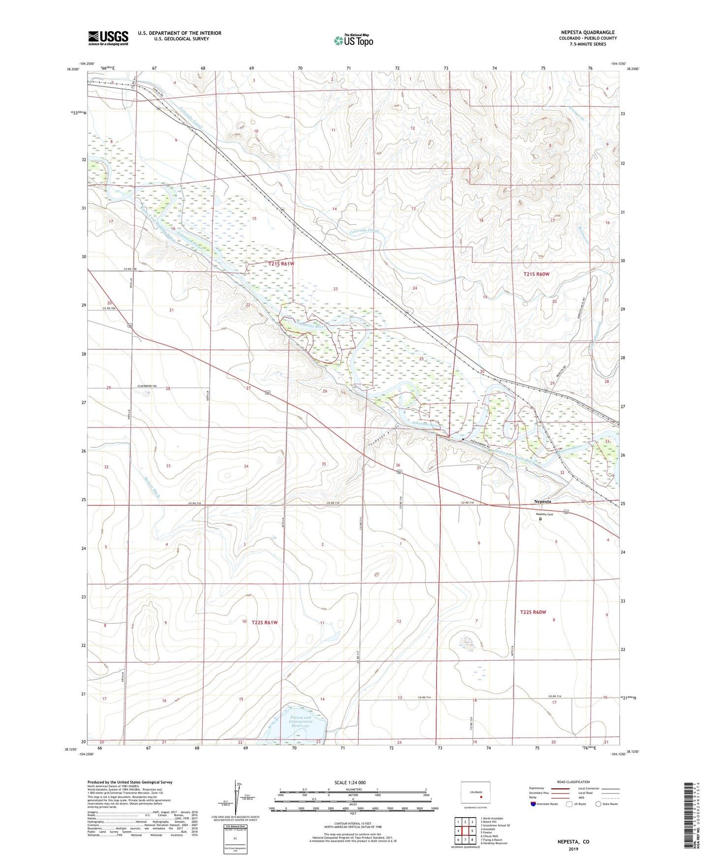
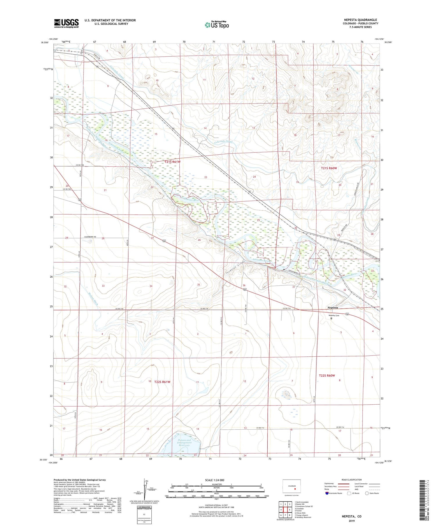
2022 topographic map quadrangle Nepesta in the state of Colorado. Scale: 1:24000. Based on the newly updated USGS 7.5' US Topo map series, this map is in the following counties: Pueblo. The map contains contour data, water features, and other items you are used to seeing on USGS maps, but also has updated roads and other features. This is the next generation of topographic maps. Printed on high-quality waterproof paper with UV fade-resistant inks.
Quads adjacent to this one:
West: Avondale
Northwest: North Avondale
North: Boone Hill
Northeast: Grandview School SE
East: Fowler
Southeast: Hardesty Reservoir
South: Flying A Ranch
Southwest: Chicos Well
This map covers the same area as the classic USGS quad with code o38104b2.
Contains the following named places: Dotson and Enlargement Dam, Dotson and Enlargement Reservoir, Dotson Reservoir, Haynes Creek, Huerfano River, Kramer Creek, Nepesta, Nepesta Cemetery, Thompson Arroyo