MyTopo
Garcia Colorado US Topo Map
Couldn't load pickup availability
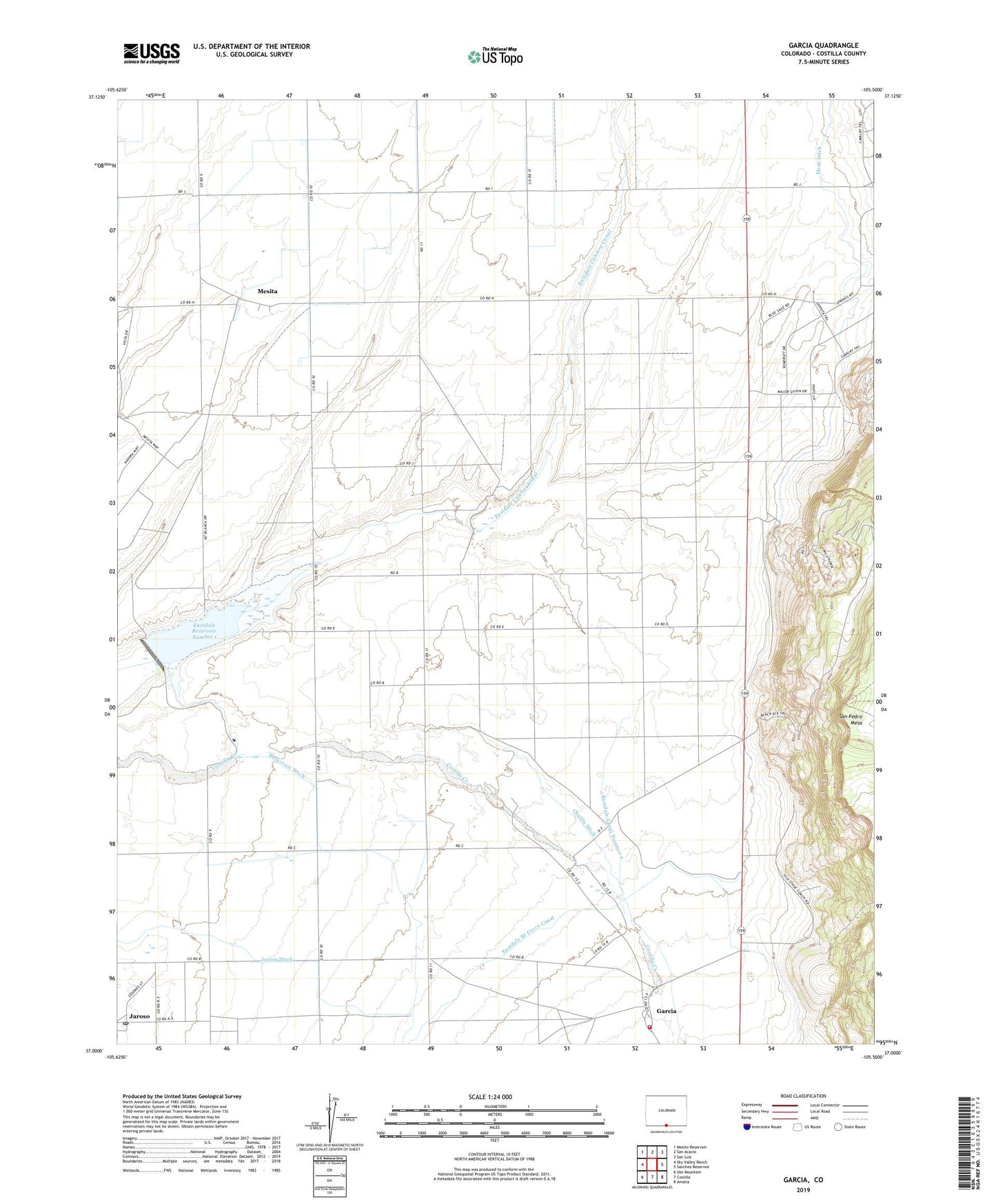
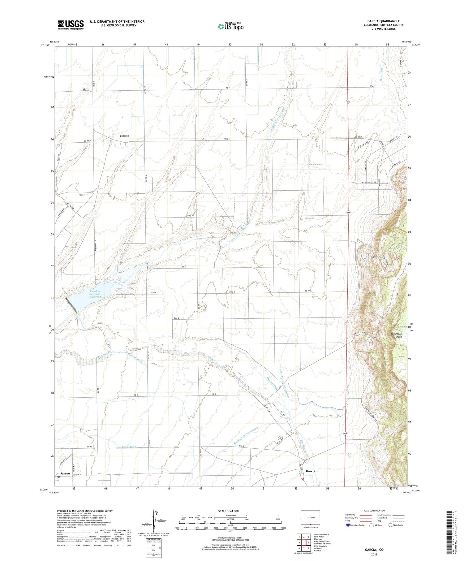
2022 topographic map quadrangle Garcia in the state of Colorado. Scale: 1:24000. Based on the newly updated USGS 7.5' US Topo map series, this map is in the following counties: Costilla. The map contains contour data, water features, and other items you are used to seeing on USGS maps, but also has updated roads and other features. This is the next generation of topographic maps. Printed on high-quality waterproof paper with UV fade-resistant inks.
Quads adjacent to this one:
West: Sky Valley Ranch
Northwest: Mesito Reservoir
North: San Acacio
Northeast: San Luis
East: Sanchez Reservoir
Southeast: Amalia
South: Costilla
Southwest: Ute Mountain
This map covers the same area as the classic USGS quad with code o37105a5.
Contains the following named places: Chalifa Ditch, Costilla County Fire Protection District, Eastdale Branch Cerro Canal, Eastdale Canal Number 2, Eastdale Number 1 Dam, Eastdale Number 2 Dam, Eastdale Reservoir Number 1, Eastdale Reservoir Number 2, Garcia, Garcia Fire Department, Jaroso, Jaroso Ditch, Jaroso Post Office, Mesa Ditch, Mesita, Reservoir Ditch, ZIP Code: 81138