MyTopo
Hayden Peak Colorado US Topo Map
Couldn't load pickup availability
Also explore the Hayden Peak Forest Service Topo of this same quad for updated USFS data
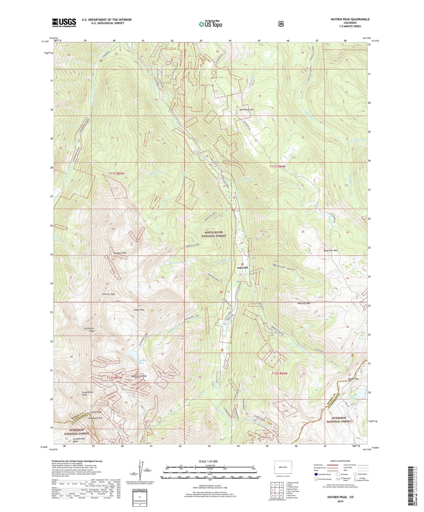
2022 topographic map quadrangle Hayden Peak in the state of Colorado. Scale: 1:24000. Based on the newly updated USGS 7.5' US Topo map series, this map is in the following counties: Pitkin, Gunnison. The map contains contour data, water features, and other items you are used to seeing on USGS maps, but also has updated roads and other features. This is the next generation of topographic maps. Printed on high-quality waterproof paper with UV fade-resistant inks.
Quads adjacent to this one:
West: Maroon Bells
Northwest: Highland Peak
North: Aspen
Northeast: Thimble Rock
East: New York Peak
Southeast: Italian Creek
South: Pearl Pass
Southwest: Gothic
This map covers the same area as the classic USGS quad with code o39106a7.
Contains the following named places: Ainer Mine, Alpine Mine, American Lake, Ashcroft, Ashcroft Mine, Ashcroft Mountain, Borealis Mine, Castle Creek Campground, Castle Peak, Cathedral Lake, Cathedral Peak, Columbia Creek, Conundrum Peak, Cooper Creek, Cooper Creek Mine, Cooper Fork Cooper Creek, Cooper Fork Quarry, Devaney Creek, Eclipse Mine, Electric Pass, Elk Mountain Lodge, Express Creek, Fall Creek, Gem Mine, Hayden Peak, Highland Tunnel Mine, Hope Mine, Hurricane Mine, Iron Hill Properties Mine, Larson Mine, Leahy Peak, Malemute Peak, McArthur Mountain, McDonalds Mine, Montezuma Mine, Monument Gulch, Pine Creek, Pine Creek Campground, Pitkin Iron Mine, Porphyry Bell Mine, Puzzler Lode Mine, Sandy Creek, Sawyer Creek, Single Jack Group Mine, Tam O'Shanter Mine, Taylor Lake, Taylor Pass, Toklat Lodge, Waterfall Gulch


