MyTopo
Hooper West Colorado US Topo Map
Couldn't load pickup availability
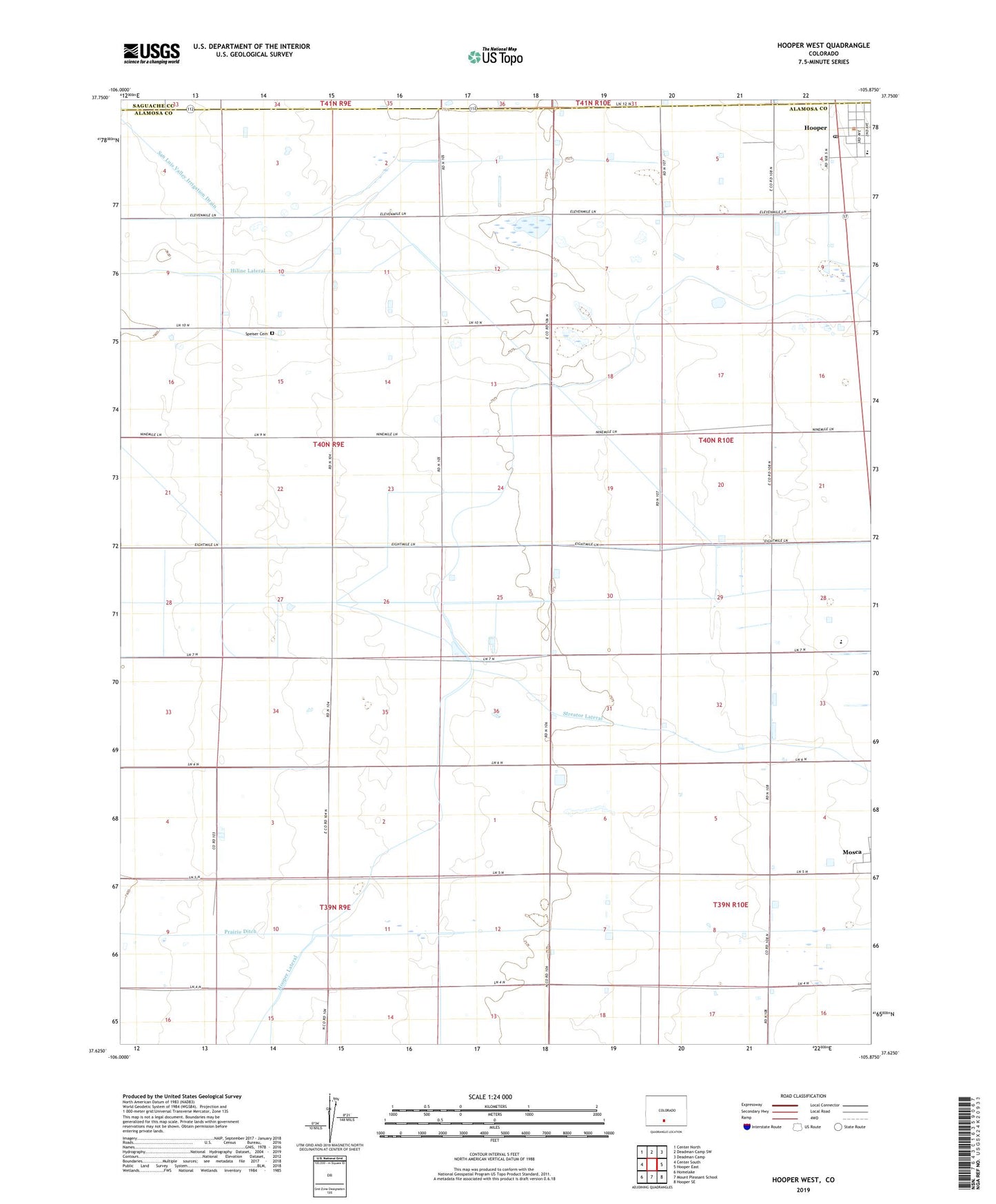
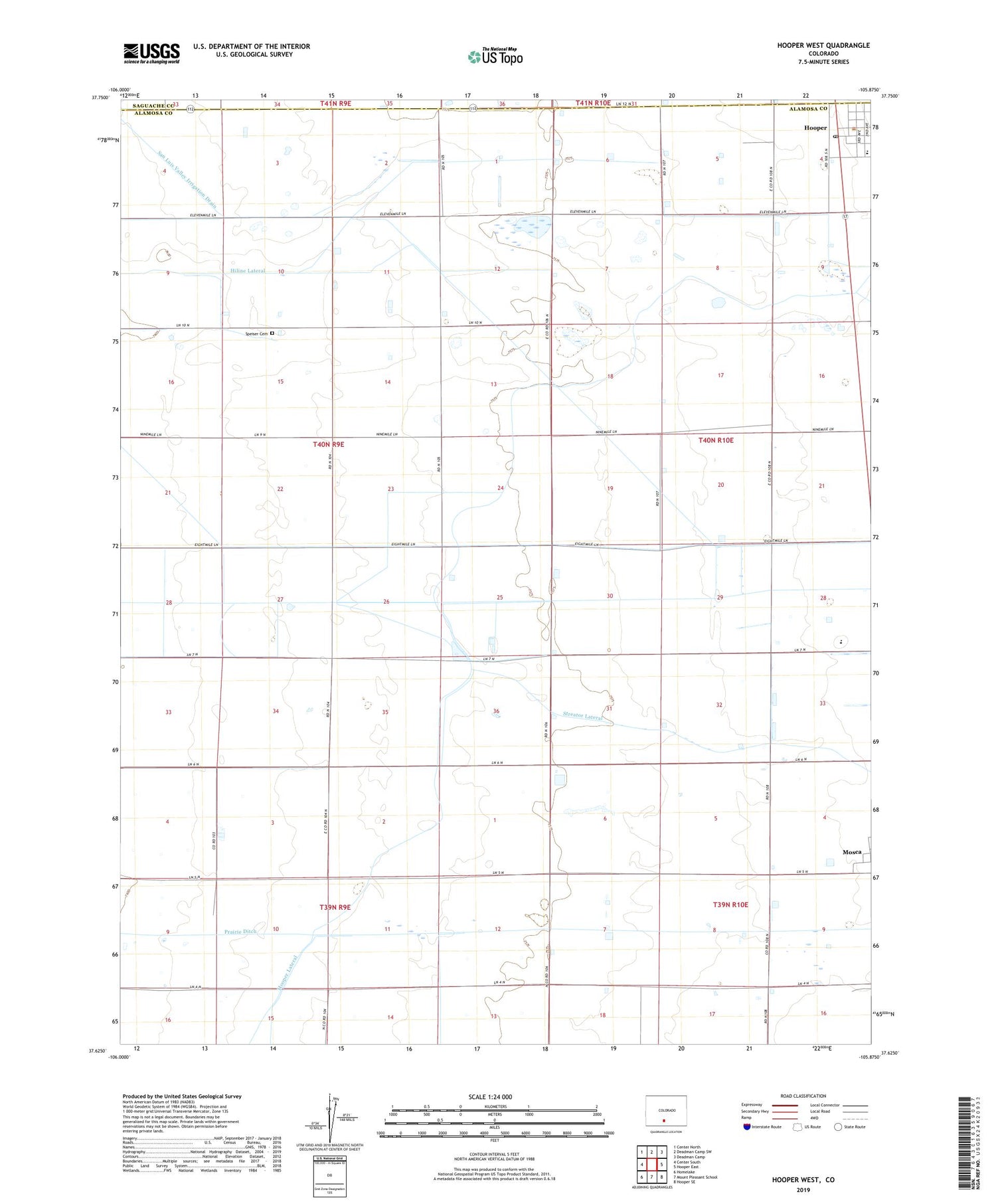
2022 topographic map quadrangle Hooper West in the state of Colorado. Scale: 1:24000. Based on the newly updated USGS 7.5' US Topo map series, this map is in the following counties: Alamosa, Saguache. The map contains contour data, water features, and other items you are used to seeing on USGS maps, but also has updated roads and other features. This is the next generation of topographic maps. Printed on high-quality waterproof paper with UV fade-resistant inks.
Quads adjacent to this one:
West: Center South
Northwest: Center North
North: Deadman Camp SW
Northeast: Deadman Camp
East: Hooper East
Southeast: Hooper SE
South: Mount Pleasant School
Southwest: Homelake
This map covers the same area as the classic USGS quad with code o37105f8.
Contains the following named places: Dog Springs Arroyo, Hiline Lateral, Hooper, Hooper Baptist Church, Hooper Lateral, Hooper Post Office, Prairie Ditch, San Luis Valley Irrigation Drain, Sangre de Cristo Elementary School, Speiser Cemetery, Streator Lateral, Town of Hooper